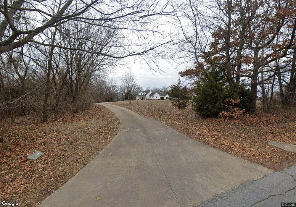
4532 Garrett Rd Rogers, AR 72758
Estimated Value: $663,000 - $1,152,000
Studio
3
Baths
2,896
Sq Ft
$304/Sq Ft
Est. Value
About This Home
This home is located at 4532 Garrett Rd, Rogers, AR 72758 and is currently estimated at $879,681, approximately $303 per square foot. 4532 Garrett Rd is a home located in Benton County with nearby schools including Janie Darr Elementary School, Elmwood Middle School, and Rogers High School.
Ownership History
Date
Name
Owned For
Owner Type
Purchase Details
Closed on
Jan 14, 2003
Bought by
Sparks Tr
Current Estimated Value
Purchase Details
Closed on
Mar 16, 2000
Bought by
Martindale
Purchase Details
Closed on
Mar 3, 2000
Bought by
64 Dorch 1 and 64 Ac
Purchase Details
Closed on
Oct 2, 1996
Bought by
Ashley 5Ac
Purchase Details
Closed on
Sep 25, 1996
Bought by
N and A
Purchase Details
Closed on
Aug 23, 1996
Bought by
Martindale 5Ac
Purchase Details
Closed on
May 3, 1996
Bought by
May May 2 and May 27Ac
Purchase Details
Closed on
Jul 21, 1992
Bought by
Sparks
Purchase Details
Closed on
Jun 11, 1992
Bought by
Sparks
Purchase Details
Closed on
May 17, 1990
Bought by
Blair
Create a Home Valuation Report for This Property
The Home Valuation Report is an in-depth analysis detailing your home's value as well as a comparison with similar homes in the area
Home Values in the Area
Average Home Value in this Area
Purchase History
| Date | Buyer | Sale Price | Title Company |
|---|---|---|---|
| Sparks Tr | -- | -- | |
| Martindale | -- | -- | |
| Sparks Tr | -- | -- | |
| Martindale Martindale 3 | -- | -- | |
| 64 Dorch 1 | $42,000 | -- | |
| Ashley 5Ac | -- | -- | |
| N | -- | -- | |
| Martindale 5Ac | -- | -- | |
| May May 2 | $11,000 | -- | |
| Sparks | -- | -- | |
| Sparks | $125,000 | -- | |
| Blair | -- | -- |
Source: Public Records
Tax History
| Year | Tax Paid | Tax Assessment Tax Assessment Total Assessment is a certain percentage of the fair market value that is determined by local assessors to be the total taxable value of land and additions on the property. | Land | Improvement |
|---|---|---|---|---|
| 2025 | $2,381 | $219,384 | $112,350 | $107,034 |
| 2024 | $2,323 | $219,384 | $112,350 | $107,034 |
| 2023 | $2,323 | $135,810 | $67,410 | $68,400 |
| 2022 | $2,041 | $135,810 | $67,410 | $68,400 |
| 2021 | $2,034 | $135,810 | $67,410 | $68,400 |
| 2020 | $2,036 | $124,270 | $74,150 | $50,120 |
| 2019 | $2,036 | $124,270 | $74,150 | $50,120 |
| 2018 | $2,061 | $124,270 | $74,150 | $50,120 |
| 2017 | $1,929 | $124,270 | $74,150 | $50,120 |
| 2016 | $1,929 | $124,270 | $74,150 | $50,120 |
| 2015 | $2,543 | $107,670 | $47,750 | $59,920 |
| 2014 | $2,193 | $107,670 | $47,750 | $59,920 |
Source: Public Records
Map
Nearby Homes
- 4403 W Murfield Dr
- 4313 W Murfield Dr
- Single Family Portfo Group 1
- Single Family Portfo Group 2
- 6099 S Pack Ln
- 6412 S 44th St
- 6405 S 44th St
- 6426 S 44th St
- 4813 Willowridge Way
- 4602 Willowridge Way
- 4112 W Erin Dr
- TBD S Pack Ln
- 4103 W Murfield Dr
- 541 Woodcreek Loop
- 6105 S 41st St
- 5001 W Bay Ct
- 536 Woodcreek Loop
- 6104 S 40th Place
- 6102 S 40th Place
- 5005 W Bay Ct
- 4554 W Garrett Rd
- 6263 Garrett Ln
- 4614 Garrett Rd
- 6211 Garrett Ln
- 4590 W Garrett Rd
- 0 S Garrett Ln
- 4506 W Garrett Rd
- 4510 Garrett Rd
- 4402 W Murfield Dr
- 0 10846 S 45th St
- 6302 S 44th Place
- 11035 S Garrett Ln
- 6300 S 44th Place
- 6304 S 44th Place
- 6306 S 44th Place
- 9130 Garrett Rd
- 4400 W Murfield Dr
- 6295 Garrett Ln
- 6308 S 44th Place
- 4319 W Baltimore Dr
Your Personal Tour Guide
Ask me questions while you tour the home.