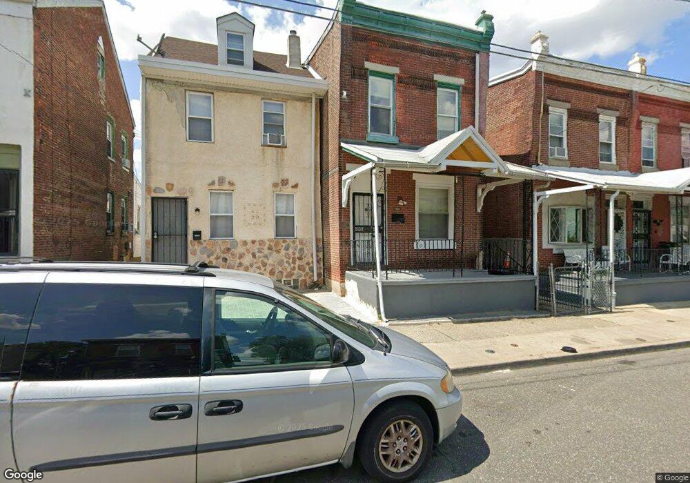
4532 Mulberry St Philadelphia, PA 19124
Frankford NeighborhoodEstimated Value: $136,000 - $184,923
3
Beds
--
Bath
1,328
Sq Ft
$118/Sq Ft
Est. Value
About This Home
This home is located at 4532 Mulberry St, Philadelphia, PA 19124 and is currently estimated at $157,231, approximately $118 per square foot. 4532 Mulberry St is a home located in Philadelphia County with nearby schools including Allen M. Stearne School, Frankford High School, and Mastery Schools Smedley Elementary.
Ownership History
Date
Name
Owned For
Owner Type
Purchase Details
Closed on
Aug 15, 2019
Sold by
Parrish Nelson
Bought by
1 & 1 Properties Llc
Current Estimated Value
Purchase Details
Closed on
Jul 16, 2018
Sold by
Eggleston Sharman P and Estate Of Lynne E Fant
Bought by
Parrish Nelson
Purchase Details
Closed on
Jun 23, 1988
Bought by
Fant Lynne S and Fant W
Create a Home Valuation Report for This Property
The Home Valuation Report is an in-depth analysis detailing your home's value as well as a comparison with similar homes in the area
Home Values in the Area
Average Home Value in this Area
Purchase History
| Date | Buyer | Sale Price | Title Company |
|---|---|---|---|
| 1 & 1 Properties Llc | $27,500 | 1St Advantage Abstract Llc | |
| Parrish Nelson | -- | None Available | |
| Fant Lynne S | -- | -- |
Source: Public Records
Tax History Compared to Growth
Tax History
| Year | Tax Paid | Tax Assessment Tax Assessment Total Assessment is a certain percentage of the fair market value that is determined by local assessors to be the total taxable value of land and additions on the property. | Land | Improvement |
|---|---|---|---|---|
| 2026 | $1,239 | $127,700 | $25,500 | $102,200 |
| 2025 | $1,239 | $127,700 | $25,500 | $102,200 |
| 2024 | $1,239 | $127,700 | $25,500 | $102,200 |
| 2023 | $1,239 | $88,500 | $17,700 | $70,800 |
| 2022 | $1,239 | $88,500 | $17,700 | $70,800 |
| 2021 | $1,239 | $0 | $0 | $0 |
| 2020 | $1,239 | $0 | $0 | $0 |
| 2019 | $1,188 | $0 | $0 | $0 |
| 2018 | $496 | $0 | $0 | $0 |
| 2017 | $915 | $0 | $0 | $0 |
| 2016 | $496 | $0 | $0 | $0 |
| 2015 | -- | $0 | $0 | $0 |
| 2014 | -- | $65,400 | $15,374 | $50,026 |
| 2012 | -- | $5,376 | $937 | $4,439 |
Source: Public Records
Map
Nearby Homes
- 4563 Hawthorne St
- 1746-48 Orthodox St
- 4534 Ditman St
- 1663 Orthodox St
- 1650 Orthodox St
- 4636 Hedge St
- 4531 Ditman St
- 4410 Waln St
- 4412 Waln St
- 4669 Hawthorne St
- 4666 Duffield St
- 4331 Waln St
- 4675 Hawthorne St
- 1844 Wilmot St
- 4347 Paul St
- 4206-14 Tackawanna St
- 4361 Frankford Ave
- 1903 Church St
- 1907 Wilmot St
- 4701 Mulberry St
- 4534 Mulberry St
- 4530 Mulberry St
- 4536 Mulberry St
- 4528 Mulberry St
- 4538 Mulberry St
- 4526 Mulberry St
- 1738 Gillingham St
- 4540 Mulberry St
- 4524 Mulberry St
- 1736 Gillingham St
- 1732 Gillingham St
- 1730 Gillingham St
- 4520 Mulberry St
- 1728 Gillingham St
- 4537 Mulberry St
- 4535 Mulberry St
- 4546 Mulberry St
- 1726 Gillingham St
- 4516 Mulberry St
- 4531 Mulberry St