45320 Deerfield Cir Elizabeth, CO 80107
Estimated Value: $759,349 - $888,000
3
Beds
3
Baths
1,676
Sq Ft
$478/Sq Ft
Est. Value
About This Home
This home is located at 45320 Deerfield Cir, Elizabeth, CO 80107 and is currently estimated at $801,837, approximately $478 per square foot. 45320 Deerfield Cir is a home located in Elbert County with nearby schools including Elizabeth High School.
Ownership History
Date
Name
Owned For
Owner Type
Purchase Details
Closed on
Mar 29, 2022
Sold by
Royal Francis Robert and Royal Dawn Lorraine
Bought by
Royal Francis Robert and Royal Dawn Lorraine
Current Estimated Value
Purchase Details
Closed on
Apr 17, 2003
Sold by
Merrill Lynch Mortgage Capital
Bought by
Royal Francis Robert and Royal Dawn Lorraine
Home Financials for this Owner
Home Financials are based on the most recent Mortgage that was taken out on this home.
Original Mortgage
$216,000
Interest Rate
5.74%
Mortgage Type
Unknown
Purchase Details
Closed on
Jan 3, 2003
Sold by
Toal Robert Sean and Toal Daniela R
Bought by
Merrill Lynch Mortgage Capital
Purchase Details
Closed on
Feb 16, 2001
Sold by
Fogel Lark House
Bought by
Toal Robert Sean
Home Financials for this Owner
Home Financials are based on the most recent Mortgage that was taken out on this home.
Original Mortgage
$274,500
Interest Rate
9.87%
Create a Home Valuation Report for This Property
The Home Valuation Report is an in-depth analysis detailing your home's value as well as a comparison with similar homes in the area
Home Values in the Area
Average Home Value in this Area
Purchase History
| Date | Buyer | Sale Price | Title Company |
|---|---|---|---|
| Royal Francis Robert | -- | None Listed On Document | |
| Royal Francis Robert | $270,000 | -- | |
| Merrill Lynch Mortgage Capital | -- | -- | |
| Toal Robert Sean | $308,000 | -- |
Source: Public Records
Mortgage History
| Date | Status | Borrower | Loan Amount |
|---|---|---|---|
| Previous Owner | Royal Francis Robert | $216,000 | |
| Previous Owner | Toal Robert Sean | $274,500 | |
| Closed | Royal Francis Robert | $54,000 |
Source: Public Records
Tax History Compared to Growth
Tax History
| Year | Tax Paid | Tax Assessment Tax Assessment Total Assessment is a certain percentage of the fair market value that is determined by local assessors to be the total taxable value of land and additions on the property. | Land | Improvement |
|---|---|---|---|---|
| 2024 | $3,104 | $49,970 | $8,740 | $41,230 |
| 2023 | $3,104 | $49,970 | $8,740 | $41,230 |
| 2022 | $2,477 | $39,570 | $9,040 | $30,530 |
| 2021 | $2,205 | $36,270 | $9,300 | $26,970 |
| 2020 | $1,807 | $30,880 | $5,720 | $25,160 |
| 2019 | $1,808 | $30,880 | $5,720 | $25,160 |
| 2018 | $1,497 | $26,620 | $5,440 | $21,180 |
| 2017 | $1,499 | $26,620 | $5,440 | $21,180 |
| 2016 | $1,479 | $26,750 | $6,010 | $20,740 |
| 2015 | $1,845 | $26,750 | $6,010 | $20,740 |
| 2014 | $1,845 | $22,620 | $5,970 | $16,650 |
Source: Public Records
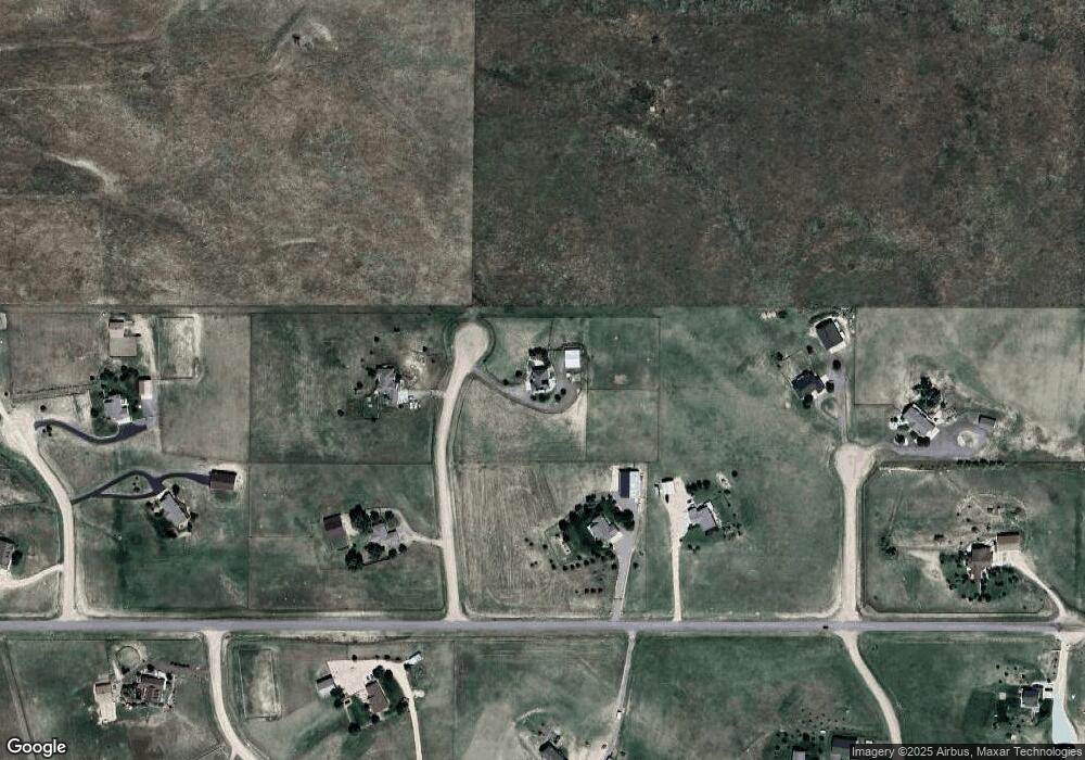
Map
Nearby Homes
- 8692 Lariat Loop
- 7498 Patrick Trail
- 4 Winners Cir Unit 4
- 0 Last Dart Rd Unit 5 REC4495885
- 0 Last Dart Rd Unit Lot 8 REC5508509
- 0 Last Dart Rd Unit Lot 6 REC4599089
- 0 Last Dart Rd Unit 3 REC4285345
- 0 Last Dart Rd Unit 13 REC6037465
- 0 Last Dart Rd Unit 10 REC4221010
- 0 Last Dart Rd Unit Lot 9 REC9962097
- 0 Last Dart Rd Unit 12 REC8361988
- 0 Last Dart Rd Unit 11 REC9530974
- 0 Last Dart Rd Unit Lot 7 REC6943524
- 0 Last Dart Rd Unit 4 REC9323581
- 45523 Sun Country Dr
- Tract 4 County Road 29
- 5010 Cir
- 5010 Hunt Lot #24 Cir
- 5010 Hunt Lot #26 Cir
- 5010 Hunt Lot #25 Cir
- 7695 Sunset Ave
- 45345 Deerfield Cir
- 7875 Sunset Ave
- 45325 Deerfield Cir
- 45485 N Eagle Nest Cir
- 45120 Cactus Cir
- 7700 Sunset Ave
- 45490 N Eagle Nest Cir
- 45380 Buckhorn Cir
- 45390 Buckhorn Cir
- 45215 S Eagle Nest Cir
- 7955 Sunset Ave
- 45195 Cactus Cir
- 45105 Cactus Cir
- 45115 Cactus Cir
- 45385 Buckhorn Cir
- 45395 Buckhorn Cir
- 7940 Sunset Ave
- 45295 S Eagle Nest Cir
- 45125 Cactus Cir