Estimated Value: $76,411 - $256,000
--
Bed
--
Bath
1,229
Sq Ft
$130/Sq Ft
Est. Value
About This Home
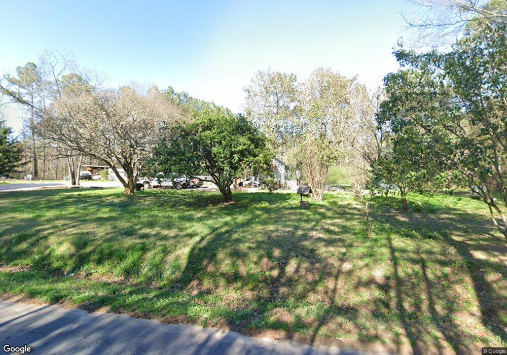
This home is located at 4535 Airline Rd, Iva, SC 29655 and is currently estimated at $160,103, approximately $130 per square foot. 4535 Airline Rd is a home with nearby schools including Crescent High School.
Ownership History
Date
Name
Owned For
Owner Type
Purchase Details
Closed on
Nov 3, 2008
Sold by
Adams Lisa Lynnette
Bought by
Williams Ronald B
Current Estimated Value
Purchase Details
Closed on
Sep 16, 2008
Sold by
Tax Lien Agents Inc
Bought by
Adams Lisa Lynnette
Purchase Details
Closed on
Jun 2, 2005
Sold by
Bailey Francis
Bought by
Tax Lien Agents Inc
Create a Home Valuation Report for This Property
The Home Valuation Report is an in-depth analysis detailing your home's value as well as a comparison with similar homes in the area
Home Values in the Area
Average Home Value in this Area
Purchase History
| Date | Buyer | Sale Price | Title Company |
|---|---|---|---|
| Williams Ronald B | -- | -- | |
| Adams Lisa Lynnette | -- | -- | |
| Tax Lien Agents Inc | -- | -- |
Source: Public Records
Tax History Compared to Growth
Tax History
| Year | Tax Paid | Tax Assessment Tax Assessment Total Assessment is a certain percentage of the fair market value that is determined by local assessors to be the total taxable value of land and additions on the property. | Land | Improvement |
|---|---|---|---|---|
| 2024 | $40 | $1,210 | $300 | $910 |
| 2023 | $40 | $1,210 | $300 | $910 |
| 2022 | $40 | $1,210 | $300 | $910 |
| 2021 | $40 | $1,190 | $270 | $920 |
| 2020 | $40 | $1,190 | $270 | $920 |
| 2019 | $40 | $1,190 | $270 | $920 |
| 2018 | $40 | $1,190 | $270 | $920 |
| 2017 | -- | $1,190 | $270 | $920 |
| 2016 | $40 | $1,250 | $200 | $1,050 |
| 2015 | $40 | $1,250 | $200 | $1,050 |
| 2014 | $40 | $1,250 | $200 | $1,050 |
Source: Public Records
Map
Nearby Homes
- 00 Varennes Church Rd
- 3949 S Carolina 413
- 4715 Highway 413
- 121 Wentzky Rd
- 0 Wentzky Rd
- 794 Hebron Church Rd
- 4261 S Carolina 413
- 112 Burdette Rd
- 130 Harmony Rd
- 1105 Sexton Gin Rd
- 0 Mellrich Rd
- 506 Farmer St
- 530 Farmer St
- 1617 Due Hwy W Unit (lot 3)
- 1617 Due Hwy W Unit (lot 2)
- 1617 Due Hwy W Unit (lot 1)
- 100 Erwin Cir
- 194 Winfred Brock Rd
- 239 Samuel Camp Rd
- 510 Farmer St
- 4530 Airline Rd
- 1118 Leatherdale Rd
- 1116 Leatherdale Rd
- 1111 Leatherdale Rd
- 334 Drake Cir
- 328 Drake Cir
- 4401 Airline Rd
- 317 Drake Cir
- 315 Drake Cir
- 321 Drake Cir
- 0 Drake Cir
- 343 Drake Cir
- 1039 Leatherdale Rd
- 337 Drake Cir
- 331 Drake Cir
- 1038 Leatherdale Rd
- 4606 Airline Rd
- 215 Drake Cir
- 225 Drake Cir
- 103 Drake Cir
