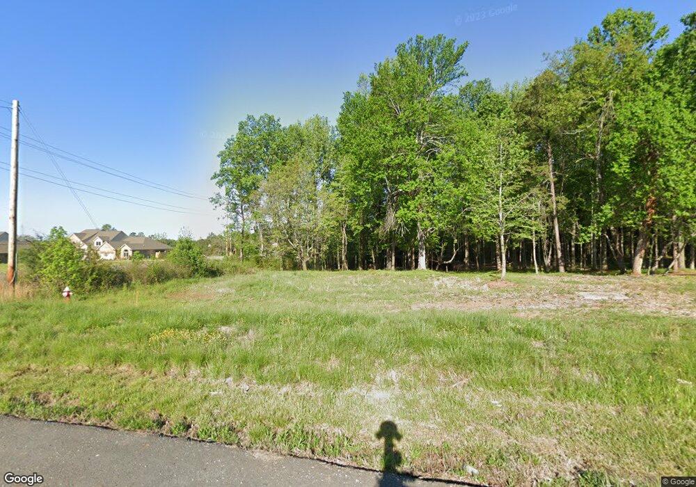
4535 Barrow Rd High Point, NC 27265
Bent Tree NeighborhoodEstimated Value: $225,000
2
Beds
1
Bath
1,507
Sq Ft
$149/Sq Ft
Est. Value
About This Home
This home is located at 4535 Barrow Rd, High Point, NC 27265 and is currently estimated at $225,000, approximately $149 per square foot. 4535 Barrow Rd is a home located in Guilford County with nearby schools including Southwest Elementary School, Southwest Guilford Middle School, and Southwest Guilford High School.
Ownership History
Date
Name
Owned For
Owner Type
Purchase Details
Closed on
Jan 9, 2026
Sold by
Brc Walpole Road Llc
Bought by
Abh Walpole Road Llc
Current Estimated Value
Home Financials for this Owner
Home Financials are based on the most recent Mortgage that was taken out on this home.
Original Mortgage
$900,000
Outstanding Balance
$900,000
Interest Rate
6.23%
Mortgage Type
Construction
Estimated Equity
-$675,000
Purchase Details
Closed on
Sep 9, 2022
Sold by
Brc Barrow Road Llc
Bought by
Keystone Group Inc
Purchase Details
Closed on
Feb 5, 2018
Sold by
Fpf High Point Llc
Bought by
Brc Barrow Road Llc
Purchase Details
Closed on
Dec 22, 2008
Sold by
Barrow Road 1 Llc
Bought by
Fpf High Point Llc
Purchase Details
Closed on
Mar 14, 2002
Sold by
Culler Kevin L
Bought by
Barrow Road I Llc
Home Financials for this Owner
Home Financials are based on the most recent Mortgage that was taken out on this home.
Original Mortgage
$72,000
Interest Rate
6.98%
Create a Home Valuation Report for This Property
The Home Valuation Report is an in-depth analysis detailing your home's value as well as a comparison with similar homes in the area
Home Values in the Area
Average Home Value in this Area
Purchase History
| Date | Buyer | Sale Price | Title Company |
|---|---|---|---|
| Abh Walpole Road Llc | $900,000 | None Listed On Document | |
| Brc Walpole Road Llc | -- | None Listed On Document | |
| Keystone Group Inc | $1,640,000 | -- | |
| Brc Barrow Road Llc | -- | None Available | |
| Brc Barrow Road Llc | $1,400,000 | None Available | |
| Fpf High Point Llc | $100,000 | None Available | |
| Barrow Road I Llc | $90,500 | -- |
Source: Public Records
Mortgage History
| Date | Status | Borrower | Loan Amount |
|---|---|---|---|
| Open | Abh Walpole Road Llc | $900,000 | |
| Previous Owner | Barrow Road I Llc | $72,000 |
Source: Public Records
Tax History
| Year | Tax Paid | Tax Assessment Tax Assessment Total Assessment is a certain percentage of the fair market value that is determined by local assessors to be the total taxable value of land and additions on the property. | Land | Improvement |
|---|---|---|---|---|
| 2025 | $551 | $40,000 | $40,000 | -- |
| 2024 | $551 | $107,800 | $40,000 | $67,800 |
| 2023 | $551 | $107,800 | $40,000 | $67,800 |
| 2022 | $1,453 | $107,800 | $40,000 | $67,800 |
| 2021 | $1,170 | $84,900 | $28,000 | $56,900 |
| 2020 | $1,170 | $84,900 | $28,000 | $56,900 |
| 2019 | $1,170 | $84,900 | $0 | $0 |
| 2018 | $1,164 | $84,900 | $0 | $0 |
| 2017 | $1,497 | $84,900 | $0 | $0 |
| 2016 | $1,116 | $79,600 | $0 | $0 |
| 2015 | $1,122 | $79,600 | $0 | $0 |
| 2014 | $1,141 | $79,600 | $0 | $0 |
Source: Public Records
Map
Nearby Homes
- 1351 Grant Haven Ct
- Greenwich Plan at Trellises
- Bermuda Plan at Trellises
- Kingston Plan at Trellises
- Essex Plan at Trellises
- Cayman Plan at Trellises
- Franklin Plan at Trellises
- Devon Plan at Trellises
- Cayman X Plan at Trellises
- 4743 Willowstone Dr
- 4408 Alderny Cir
- 4725 Willowstone Dr
- 4722 Willowstone Dr
- 4723 Willowstone Dr
- 717 Piedmont Crossing Dr
- 715 Piedmont Crossing Dr Unit 14
- 4716 Willowstone Dr
- 748 Carneros Cir
- 4714 Willowstone Dr
- 4715 Willowstone Dr
- 7901 Clinard Farms Rd
- 4531 Barrow Rd
- 2251 Willard Dairy Rd Unit Lot 234
- 2253 Willard Dairy Rd Unit Lot 235
- 7873 Clinard Farms Rd
- 2255 Willard Dairy Rd Unit Lot 236
- 2248 Willard Dairy Rd Unit 233
- 2257 Willard Dairy Rd Unit Lot 237
- 7872 Clinard Farms Rd
- 3609 Copper Ct Unit 12
- 3609 Copper Ct
- 2250 Willard Dairy Rd Unit 232
- 2252 Willard Dairy Rd Unit 231
- 2254 Willard Dairy Rd Unit 230
- 3601 Copper Ct Unit 10
- 3601 Copper Ct
- 2261 Willard Dairy Rd Unit Lot 238
- 3613 Copper Ct
- 7870 Clinard Farms Rd
- 2263 Willard Dairy Rd Unit Lot 239
