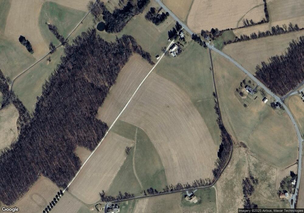
4535 Black Rock Rd Upperco, MD 21155
Estimated Value: $699,000 - $1,199,000
Studio
3
Baths
2,454
Sq Ft
$386/Sq Ft
Est. Value
About This Home
This home is located at 4535 Black Rock Rd, Upperco, MD 21155 and is currently estimated at $946,596, approximately $385 per square foot. 4535 Black Rock Rd is a home located in Baltimore County with nearby schools including Fifth District Elementary School, Hereford Middle School, and Hereford High School.
Ownership History
Date
Name
Owned For
Owner Type
Purchase Details
Closed on
Jul 22, 2016
Sold by
Rouse James
Bought by
Rouse James
Current Estimated Value
Purchase Details
Closed on
Aug 23, 2014
Sold by
Miller Fred D and Miller Fred
Bought by
Rouse James
Purchase Details
Closed on
Apr 23, 2013
Sold by
Miller Fred David and Miller Charlene Coco
Bought by
Miller Fred D and Miller Fred
Purchase Details
Closed on
Jan 16, 1996
Sold by
Michael Marjery E
Bought by
Miller David Fred and Miller Charlene Coco
Purchase Details
Closed on
Mar 7, 1973
Sold by
Horner Edmund F Ag Use 83-84
Bought by
Miller Fred David and Miller Charlene Coco
Create a Home Valuation Report for This Property
The Home Valuation Report is an in-depth analysis detailing your home's value as well as a comparison with similar homes in the area
Purchase History
| Date | Buyer | Sale Price | Title Company |
|---|---|---|---|
| Rouse James | -- | Attorney | |
| Rouse James | $747,500 | Title Resources Guaranty Co | |
| Miller Fred D | -- | None Available | |
| Miller David Fred | $2,000 | -- | |
| Miller Fred David | $75,000 | -- |
Source: Public Records
Tax History Compared to Growth
Tax History
| Year | Tax Paid | Tax Assessment Tax Assessment Total Assessment is a certain percentage of the fair market value that is determined by local assessors to be the total taxable value of land and additions on the property. | Land | Improvement |
|---|---|---|---|---|
| 2025 | $4,288 | $367,300 | $114,800 | $252,500 |
| 2024 | $4,288 | $350,467 | $0 | $0 |
| 2023 | $2,022 | $333,633 | $0 | $0 |
| 2022 | $3,805 | $316,800 | $110,300 | $206,500 |
| 2021 | $3,736 | $310,067 | $0 | $0 |
| 2020 | $3,736 | $303,333 | $0 | $0 |
| 2019 | $3,655 | $296,600 | $110,300 | $186,300 |
| 2018 | $3,499 | $283,733 | $0 | $0 |
| 2017 | $3,176 | $270,867 | $0 | $0 |
| 2016 | $2,640 | $258,000 | $0 | $0 |
| 2015 | $2,640 | $257,733 | $0 | $0 |
| 2014 | $2,640 | $257,467 | $0 | $0 |
Source: Public Records
Map
Nearby Homes
- 16535 Trenton Rd
- 4100 Black Rock Rd
- 0 Trenton Mill Rd Unit MDBC2117946
- 16306 Trenton Rd
- 1209 Woodland Ct
- 840 Century St
- 893 Century St
- 4302 Sycamore Dr
- 917 Century St
- 806 Clearview Ave
- 906 S Main St
- 17208 Hunter Green Rd
- 4138 Hillcrest Ave
- 18310 Upper Beckleysville Rd
- 920 N Houcksville Rd
- 4210 Upper Beckleysville Rd
- 4098 Janae Dr
- 4112 Creswell Terrace
- 4211 S Hunter Rd
- 1711 Kempfield Dr
- 4526 Black Rock Rd
- 4607 Black Rock Rd
- 4607 Black Rock Rd
- 4617 Black Rock Rd
- 4618 Black Rock Rd
- 4625 Black Rock Rd
- 4505 Black Rock Rd
- 4616 Black Rock Rd
- 4631 Black Rock Rd
- 4673 Black Rock Rd
- 4447 Black Rock Rd
- 17201 Grace Rd
- 4703 Black Rock Rd
- 4705 Black Rock Rd
- 4707 Black Rock Rd
- 4515 Black Rock Rd
- 4614 Black Rock Rd
- 4434 Black Rock Rd
- 4711 Black Rock Rd
- 4421 Black Rock Rd
