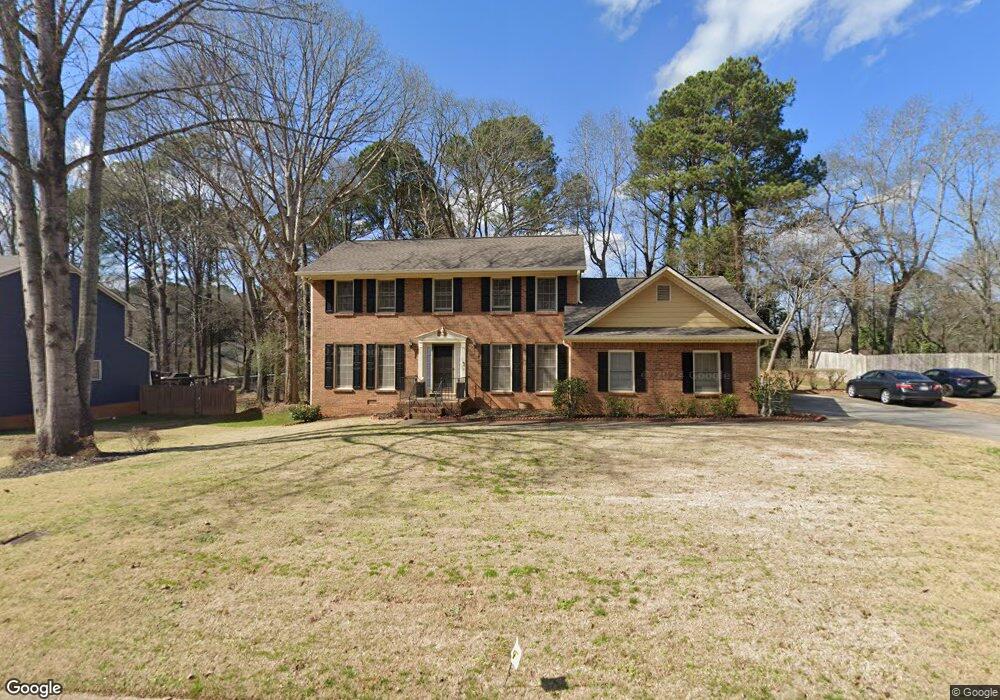
4535 Brandon Dr SW Unit 2 Lilburn, GA 30047
Estimated Value: $360,000 - $388,000
4
Beds
3
Baths
2,256
Sq Ft
$164/Sq Ft
Est. Value
About This Home
This home is located at 4535 Brandon Dr SW Unit 2, Lilburn, GA 30047 and is currently estimated at $370,390, approximately $164 per square foot. 4535 Brandon Dr SW Unit 2 is a home located in Gwinnett County with nearby schools including Shiloh Elementary School, Shiloh Middle School, and Shiloh High School.
Ownership History
Date
Name
Owned For
Owner Type
Purchase Details
Closed on
Feb 28, 2023
Sold by
Odom Marie
Bought by
Bailey Christopher Mancel and Bailey Marie Odom
Current Estimated Value
Purchase Details
Closed on
Sep 20, 2002
Sold by
Nanney Jerry P and Jane N
Bought by
Odom Marie
Home Financials for this Owner
Home Financials are based on the most recent Mortgage that was taken out on this home.
Original Mortgage
$116,000
Interest Rate
6.21%
Mortgage Type
New Conventional
Create a Home Valuation Report for This Property
The Home Valuation Report is an in-depth analysis detailing your home's value as well as a comparison with similar homes in the area
Home Values in the Area
Average Home Value in this Area
Purchase History
| Date | Buyer | Sale Price | Title Company |
|---|---|---|---|
| Bailey Christopher Mancel | -- | -- | |
| Odom Marie | $166,000 | -- |
Source: Public Records
Mortgage History
| Date | Status | Borrower | Loan Amount |
|---|---|---|---|
| Previous Owner | Odom Marie | $116,000 |
Source: Public Records
Tax History Compared to Growth
Tax History
| Year | Tax Paid | Tax Assessment Tax Assessment Total Assessment is a certain percentage of the fair market value that is determined by local assessors to be the total taxable value of land and additions on the property. | Land | Improvement |
|---|---|---|---|---|
| 2025 | $1,037 | $132,000 | $30,000 | $102,000 |
| 2024 | $1,106 | $126,040 | $30,000 | $96,040 |
| 2023 | $1,106 | $127,080 | $31,200 | $95,880 |
| 2022 | $994 | $112,720 | $26,400 | $86,320 |
| 2021 | $2,874 | $89,920 | $19,600 | $70,320 |
| 2020 | $2,642 | $78,280 | $14,000 | $64,280 |
| 2019 | $2,571 | $78,280 | $14,000 | $64,280 |
| 2018 | $2,488 | $74,480 | $12,000 | $62,480 |
| 2016 | $2,238 | $61,920 | $12,000 | $49,920 |
| 2015 | $2,256 | $61,920 | $12,000 | $49,920 |
| 2014 | $2,011 | $52,440 | $10,000 | $42,440 |
Source: Public Records
Map
Nearby Homes
- 2170 Thorndale Dr SW
- 4656 Matterhorn Dr SW
- 0 Hudson Dr Unit 7586860
- 0 Hudson Dr Unit 10613174
- 0 Hudson Dr Unit 7655927
- 3 Shiloh Ridge Trail
- 1 Shiloh Ridge Trail
- 4 Shiloh Ridge Trail
- 2 Shiloh Ridge Trail
- 4806 Dean Ln SW
- 5018 Castlewood Dr SW
- 4523 Riverside Dr SW
- 4774 Saint Bernard Dr SW
- 4882 Rock Haven Dr SW
- 2650 Riverfront Dr
- 4607 Alpine Dr SW
- 4716 Alpine Dr SW
- 4742 Valley Dale Dr SW
- 4922 Signal Ct SW
- 4525 Brandon Dr SW Unit 5
- 4525 Brandon Dr SW
- 4545 Brandon Dr SW
- 0 Brandon Dr SW
- 2222 Tarence Ln SW
- 4515 Brandon Dr SW
- 2211 Tarence Ln SW
- 2212 Tarence Ln SW Unit 2
- 4526 Brandon Dr SW Unit 2
- 4536 Brandon Dr SW
- 2122 Dudley Ct SW
- 4555 Brandon Dr SW Unit 1
- 4516 Brandon Dr SW
- 4546 Brandon Dr SW
- 2202 Dudley Ct SW Unit 1
- 4505 Brandon Dr SW
- 4556 Brandon Dr SW
- 4506 Brandon Dr SW
- 2201 Tarence Ln SW
- 2201 Tarence Ln SW Unit 2201