4535 Dowden St Springfield, OH 45503
Estimated Value: $461,107 - $516,000
4
Beds
4
Baths
2,621
Sq Ft
$184/Sq Ft
Est. Value
About This Home
This home is located at 4535 Dowden St, Springfield, OH 45503 and is currently estimated at $481,527, approximately $183 per square foot. 4535 Dowden St is a home located in Clark County with nearby schools including Northridge Elementary School, Kenton Ridge Middle & High School, and Emmanuel Christian Academy.
Ownership History
Date
Name
Owned For
Owner Type
Purchase Details
Closed on
Jul 29, 2004
Sold by
Hoppes Terry A and Hoppes Cynthia A
Bought by
Guido David and Guido Marianna
Current Estimated Value
Home Financials for this Owner
Home Financials are based on the most recent Mortgage that was taken out on this home.
Original Mortgage
$186,160
Interest Rate
6%
Mortgage Type
Purchase Money Mortgage
Create a Home Valuation Report for This Property
The Home Valuation Report is an in-depth analysis detailing your home's value as well as a comparison with similar homes in the area
Home Values in the Area
Average Home Value in this Area
Purchase History
| Date | Buyer | Sale Price | Title Company |
|---|---|---|---|
| Guido David | $232,700 | Landsel Title Agency Inc |
Source: Public Records
Mortgage History
| Date | Status | Borrower | Loan Amount |
|---|---|---|---|
| Closed | Guido David | $186,160 | |
| Closed | Guido David | $46,540 |
Source: Public Records
Tax History
| Year | Tax Paid | Tax Assessment Tax Assessment Total Assessment is a certain percentage of the fair market value that is determined by local assessors to be the total taxable value of land and additions on the property. | Land | Improvement |
|---|---|---|---|---|
| 2025 | $5,918 | $141,510 | $42,300 | $99,210 |
| 2024 | $5,726 | $134,070 | $31,190 | $102,880 |
| 2023 | $5,726 | $134,070 | $31,190 | $102,880 |
| 2022 | $5,747 | $134,070 | $31,190 | $102,880 |
| 2021 | $5,279 | $104,300 | $24,370 | $79,930 |
| 2020 | $5,284 | $104,300 | $24,370 | $79,930 |
| 2019 | $5,383 | $104,300 | $24,370 | $79,930 |
| 2018 | $5,122 | $95,180 | $23,920 | $71,260 |
| 2017 | $4,398 | $94,315 | $23,919 | $70,396 |
| 2016 | $4,368 | $94,315 | $23,919 | $70,396 |
| 2015 | $4,295 | $93,178 | $22,782 | $70,396 |
| 2014 | $4,295 | $93,178 | $22,782 | $70,396 |
| 2013 | $4,196 | $93,178 | $22,782 | $70,396 |
Source: Public Records
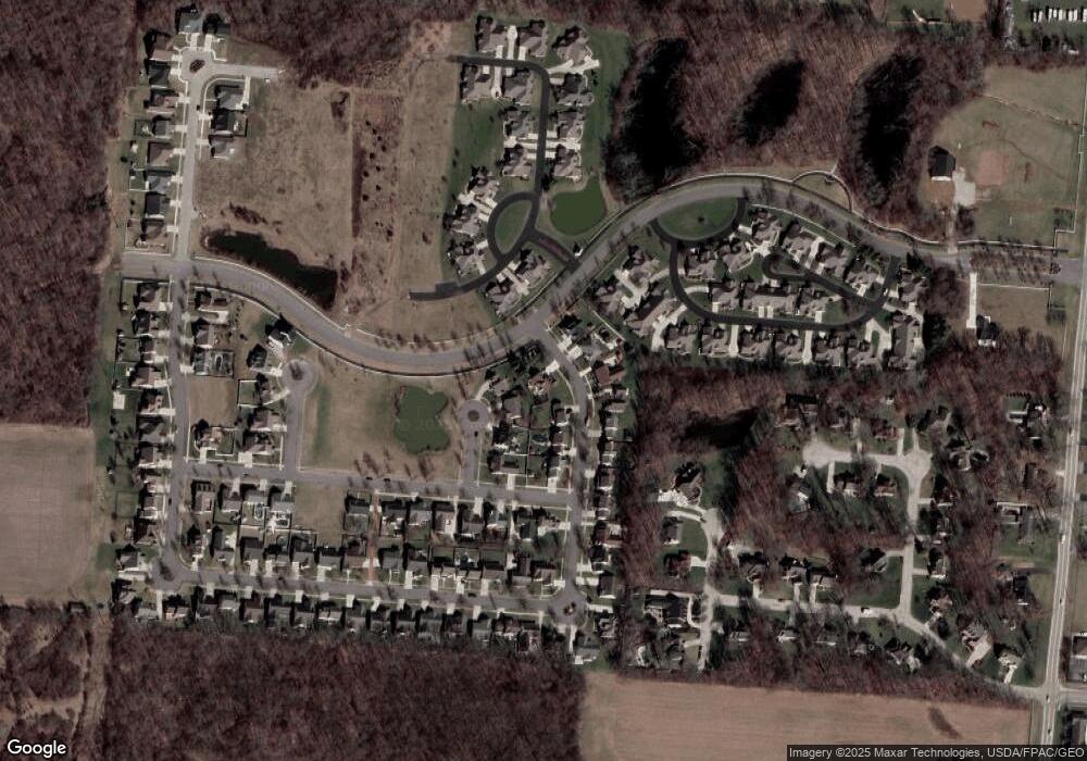
Map
Nearby Homes
- 862 Brendle Trace Unit 20
- 593 Hiser Ave
- 4343 Burchill St
- 4741 Cullen Ave
- 4802 Willowbrook Dr
- 1341 Student Ave
- 0 Moorefield Rd
- 4256 Midfield St Unit 9
- 4446 Ridgewood Rd E Unit 3
- 5033 Ridgewood Rd E
- 1162 Kingsgate Rd
- 1521 Erika Dr
- 4652 Reno Ln Unit 15
- 1201 Kingsgate Rd
- 1709 Thomas Dr
- 5564 Ridgewood Rd W
- 5564 Ridgewood Rd E Unit 7
- 1500 Kingsgate Rd
- 1502 Kingsgate Rd
- 1500 Kingsgate Rd Unit 19430
- 4527 Chapman Ln
- 4525 Chapman Ln
- 4523 Dowden St
- 4540 Dowden St
- 4536 Dowden St
- 4519 Dowden St
- 4521 Chapman Ln
- 4532 Dowden St
- 776 Deerfield Trail Unit 8
- 4526 Dowden St
- 774 Deerfield Trail Unit 7
- 4522 Dowden St
- 4515 Dowden St
- 4517 Chapman Ln
- 780 Deerfield Trail Unit 10
- 802 Brendle Trace Unit 46
- 778 Deerfield Trail Unit 9
- 804 Brendle Trace Unit 45
- 4518 Dowden St
- 771 Deerfield Trail
Your Personal Tour Guide
Ask me questions while you tour the home.