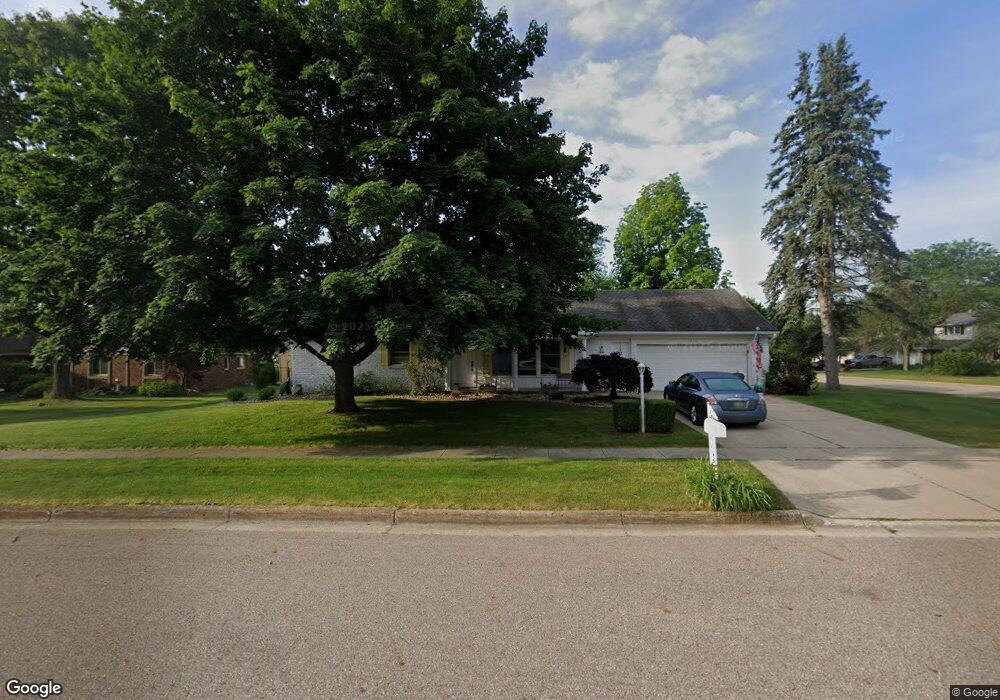
4535 Frontier Ave Portage, MI 49024
Estimated Value: $293,362 - $342,000
--
Bed
1
Bath
1,667
Sq Ft
$197/Sq Ft
Est. Value
About This Home
This home is located at 4535 Frontier Ave, Portage, MI 49024 and is currently estimated at $328,091, approximately $196 per square foot. 4535 Frontier Ave is a home located in Kalamazoo County with nearby schools including Moorsbridge Elementary School, Portage West Middle School, and Portage Central High School.
Ownership History
Date
Name
Owned For
Owner Type
Purchase Details
Closed on
Aug 17, 2015
Sold by
Mudie Jeanne Marie
Bought by
Mudie Jeanne Marie and Jeanne Marie Mudie Revocable Trust
Current Estimated Value
Purchase Details
Closed on
Feb 27, 2013
Sold by
Revocable Living Trust Agreement Of Wayn
Bought by
Mudie Jeanne Marie
Purchase Details
Closed on
Jan 16, 2012
Sold by
Gerber Wayne E
Bought by
Gerber Wayne E and Revocable Living Trust Agreement Of Wayn
Create a Home Valuation Report for This Property
The Home Valuation Report is an in-depth analysis detailing your home's value as well as a comparison with similar homes in the area
Home Values in the Area
Average Home Value in this Area
Purchase History
| Date | Buyer | Sale Price | Title Company |
|---|---|---|---|
| Mudie Jeanne Marie | -- | Attorney | |
| Mudie Jeanne Marie | $132,500 | Devon Title Company | |
| Gerber Wayne E | -- | None Available |
Source: Public Records
Tax History Compared to Growth
Tax History
| Year | Tax Paid | Tax Assessment Tax Assessment Total Assessment is a certain percentage of the fair market value that is determined by local assessors to be the total taxable value of land and additions on the property. | Land | Improvement |
|---|---|---|---|---|
| 2025 | $3,851 | $140,900 | $0 | $0 |
| 2024 | $3,851 | $132,700 | $0 | $0 |
| 2023 | $3,671 | $119,300 | $0 | $0 |
| 2022 | $0 | $0 | $0 | $0 |
| 2021 | $0 | $0 | $0 | $0 |
| 2020 | $0 | $0 | $0 | $0 |
| 2019 | $0 | $87,300 | $0 | $0 |
| 2018 | $0 | $0 | $0 | $0 |
| 2017 | $0 | $0 | $0 | $0 |
| 2016 | -- | $0 | $0 | $0 |
| 2015 | -- | $0 | $0 | $0 |
| 2014 | -- | $0 | $0 | $0 |
Source: Public Records
Map
Nearby Homes
- 4186 Vanderbilt Ave
- 8420 S 12th St
- 5151 W R Ave
- 5191 W R Ave
- 5284 Green Pine Ln
- 5353 Chickadee Dr
- 5420 Whippoorwill Dr
- 7873 Shepherds Glen Ct
- 8030 Wimbledon Dr Unit 35
- 7961 Kilmory Cir
- 5727 Bob White Ave
- 4788 Norfolk Cir
- 5660 Saddle Club Dr
- 3653 Tartan Cir
- 2623 Vanderbilt Ave
- 2413 Shady Oak Cove Unit 68
- 2600 W Centre Ave Unit +/- 1 Acre
- 2351 W Centre Ave
- 5456 Stoney Brook Rd
- 2798 Innisbrook Dr
- 4503 Frontier Ave
- 4534 Homestead Ln
- 4500 Homestead Ln
- 0 Frontier Ave
- 4534 Frontier Ave
- 4603 Frontier Ave
- 4581 Homestead Ln
- 4574 Frontier Ave
- 4500 Frontier Ave
- 4441 Frontier Ave
- 4470 Homestead Ln
- 4610 Frontier Ave
- 4571 Homestead Ln
- 4440 Frontier Ave
- 4535 Homestead Ln
- 4561 Homestead Ln
- 4501 Homestead Ln
- 4421 Frontier Ave
- 4657 Frontier Ave
- 8691 Angling Rd