Estimated Value: $354,000 - $377,863
3
Beds
2
Baths
1,356
Sq Ft
$270/Sq Ft
Est. Value
About This Home
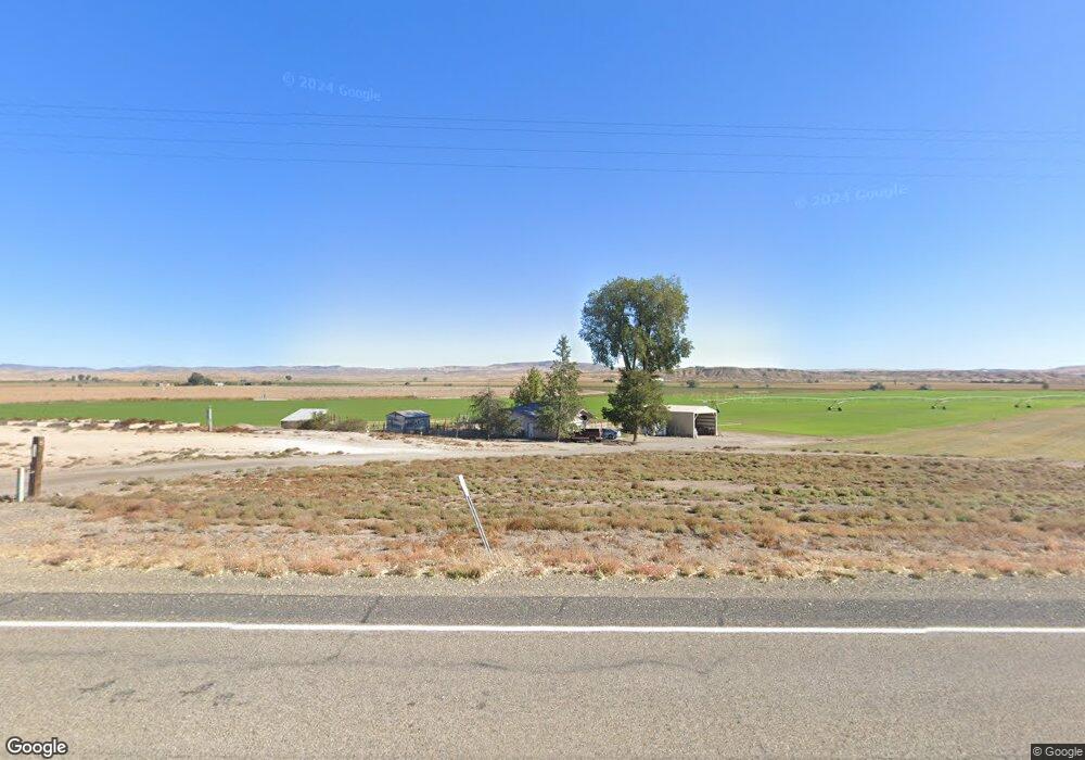
This home is located at 4536 John Day Hwy, Vale, OR 97918 and is currently estimated at $365,932, approximately $269 per square foot. 4536 John Day Hwy is a home located in Malheur County with nearby schools including Vale Middle School and Vale High School.
Ownership History
Date
Name
Owned For
Owner Type
Purchase Details
Closed on
May 22, 2006
Sold by
Wilcox Andrew R
Bought by
Wilcox Andrew R and Franks Linda M
Current Estimated Value
Home Financials for this Owner
Home Financials are based on the most recent Mortgage that was taken out on this home.
Original Mortgage
$138,735
Interest Rate
6.41%
Mortgage Type
USDA
Create a Home Valuation Report for This Property
The Home Valuation Report is an in-depth analysis detailing your home's value as well as a comparison with similar homes in the area
Home Values in the Area
Average Home Value in this Area
Purchase History
| Date | Buyer | Sale Price | Title Company |
|---|---|---|---|
| Wilcox Andrew R | -- | -- |
Source: Public Records
Mortgage History
| Date | Status | Borrower | Loan Amount |
|---|---|---|---|
| Closed | Wilcox Andrew R | $138,735 |
Source: Public Records
Tax History Compared to Growth
Tax History
| Year | Tax Paid | Tax Assessment Tax Assessment Total Assessment is a certain percentage of the fair market value that is determined by local assessors to be the total taxable value of land and additions on the property. | Land | Improvement |
|---|---|---|---|---|
| 2025 | $1,996 | $192,023 | $39,482 | $152,541 |
| 2024 | $1,954 | $186,431 | $43,347 | $143,084 |
| 2023 | $1,887 | $181,001 | $38,614 | $142,387 |
| 2022 | $1,838 | $175,730 | $39,940 | $135,790 |
| 2021 | $1,880 | $170,612 | $40,258 | $130,354 |
| 2020 | $1,753 | $165,643 | $32,406 | $133,237 |
| 2019 | $1,712 | $160,819 | $34,909 | $125,910 |
| 2018 | $1,676 | $156,135 | $33,091 | $123,044 |
| 2017 | $1,603 | $151,588 | $34,851 | $116,737 |
| 2016 | $1,495 | $147,173 | $33,574 | $113,599 |
| 2015 | $1,499 | $142,887 | $33,839 | $109,048 |
| 2014 | $1,458 | $138,726 | $29,535 | $109,191 |
Source: Public Records
Map
Nearby Homes