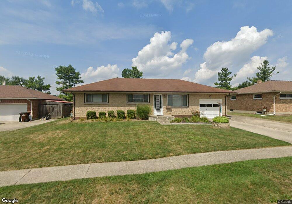
4537 Tulane Rd Springfield, OH 45503
Estimated Value: $207,623 - $220,000
3
Beds
2
Baths
1,107
Sq Ft
$195/Sq Ft
Est. Value
About This Home
This home is located at 4537 Tulane Rd, Springfield, OH 45503 and is currently estimated at $215,656, approximately $194 per square foot. 4537 Tulane Rd is a home located in Clark County with nearby schools including Northridge Elementary School, Kenton Ridge Middle & High School, and Emmanuel Christian Academy.
Ownership History
Date
Name
Owned For
Owner Type
Purchase Details
Closed on
Jul 15, 2003
Sold by
Simmons Willarm M
Bought by
Simmons Mary A
Current Estimated Value
Home Financials for this Owner
Home Financials are based on the most recent Mortgage that was taken out on this home.
Original Mortgage
$41,950
Interest Rate
5.3%
Mortgage Type
Purchase Money Mortgage
Create a Home Valuation Report for This Property
The Home Valuation Report is an in-depth analysis detailing your home's value as well as a comparison with similar homes in the area
Home Values in the Area
Average Home Value in this Area
Purchase History
| Date | Buyer | Sale Price | Title Company |
|---|---|---|---|
| Simmons Mary A | $38,000 | Midwest Abstract Company |
Source: Public Records
Mortgage History
| Date | Status | Borrower | Loan Amount |
|---|---|---|---|
| Closed | Simmons Mary A | $41,950 | |
| Closed | Simmons Mary A | $25,000 |
Source: Public Records
Tax History
| Year | Tax Paid | Tax Assessment Tax Assessment Total Assessment is a certain percentage of the fair market value that is determined by local assessors to be the total taxable value of land and additions on the property. | Land | Improvement |
|---|---|---|---|---|
| 2025 | $1,629 | $62,110 | $14,710 | $47,400 |
| 2024 | $1,602 | $47,060 | $9,850 | $37,210 |
| 2023 | $1,602 | $47,060 | $9,850 | $37,210 |
| 2022 | $1,626 | $47,060 | $9,850 | $37,210 |
| 2021 | $1,668 | $42,010 | $7,820 | $34,190 |
| 2020 | $1,669 | $42,010 | $7,820 | $34,190 |
| 2019 | $1,701 | $42,010 | $7,820 | $34,190 |
| 2018 | $1,337 | $33,870 | $7,010 | $26,860 |
| 2017 | $1,146 | $34,706 | $7,007 | $27,699 |
| 2016 | $1,138 | $34,706 | $7,007 | $27,699 |
| 2015 | $1,126 | $32,841 | $6,738 | $26,103 |
| 2014 | $1,126 | $32,841 | $6,738 | $26,103 |
| 2013 | $1,099 | $32,841 | $6,738 | $26,103 |
Source: Public Records
Map
Nearby Homes
- 4652 Reno Ln Unit 15
- 4577 Reno Ln Unit 2
- 4732 Lehigh Dr
- 4446 Ridgewood Rd E Unit 3
- 4322 Midfield St Unit 15
- 4890 Brannan Dr W Unit 4890
- 4256 Midfield St Unit 9
- 1341 Student Ave
- 5033 Ridgewood Rd E
- 1644 Delmar Dr
- 4802 Willowbrook Dr
- 1521 Erika Dr
- 3942 Harris Ln
- 4741 Cullen Ave
- 1921 Elaina Dr
- 4500 Bosart Rd
- 4733 Curtis Dr
- 5235 W Ridgewood Rd
- 4028 Ryland Dr Unit 4028
- 5564 Ridgewood Rd E Unit 7
- 4529 Tulane Rd
- 4545 Tulane Rd
- 4521 Tulane Rd
- 4601 Tulane Rd
- 4524 Reno Ln
- 4524 Reno Ln
- 4526 Reno Ln
- 4526 Reno Ln Unit 4
- 4522 Reno Ln Unit 2
- 4528 Reno Ln Unit 5
- 4530 Reno Ln Unit 6
- 4520 Reno Ln
- 4538 Tulane Rd
- 4532 Reno Ln Unit 7
- 4530 Tulane Rd
- 4546 Tulane Rd
- 4534 Reno Ln Unit 8
- 4522 Tulane Rd
- 4607 Tulane Rd
- 1748 Sierra Ave
Your Personal Tour Guide
Ask me questions while you tour the home.