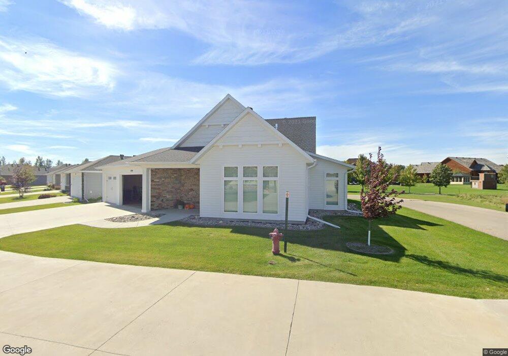
4538 65th St S Fargo, ND 58104
Osgood NeighborhoodEstimated Value: $452,000 - $760,000
3
Beds
3
Baths
2,560
Sq Ft
$233/Sq Ft
Est. Value
About This Home
This home is located at 4538 65th St S, Fargo, ND 58104 and is currently estimated at $596,469, approximately $232 per square foot. 4538 65th St S is a home located in Cass County with nearby schools including Liberty Middle School, West Fargo Sheyenne High School, and Trinity Elementary School.
Ownership History
Date
Name
Owned For
Owner Type
Purchase Details
Closed on
Jul 25, 2016
Sold by
Urie Bill and Urie Kathy
Bought by
Urie Bill and Urie Kathleen A
Current Estimated Value
Home Financials for this Owner
Home Financials are based on the most recent Mortgage that was taken out on this home.
Original Mortgage
$239,471
Interest Rate
3.54%
Mortgage Type
Commercial
Purchase Details
Closed on
Oct 21, 2013
Sold by
Schwan Urie Townhouse Option
Bought by
Urie Bill and Urie Kathy
Create a Home Valuation Report for This Property
The Home Valuation Report is an in-depth analysis detailing your home's value as well as a comparison with similar homes in the area
Home Values in the Area
Average Home Value in this Area
Purchase History
| Date | Buyer | Sale Price | Title Company |
|---|---|---|---|
| Urie Bill | -- | Northern Title Co | |
| Urie Bill | -- | None Available |
Source: Public Records
Mortgage History
| Date | Status | Borrower | Loan Amount |
|---|---|---|---|
| Closed | Urie Bill | $239,471 |
Source: Public Records
Tax History
| Year | Tax Paid | Tax Assessment Tax Assessment Total Assessment is a certain percentage of the fair market value that is determined by local assessors to be the total taxable value of land and additions on the property. | Land | Improvement |
|---|---|---|---|---|
| 2024 | $7,411 | $274,700 | $43,400 | $231,300 |
| 2023 | $8,670 | $329,050 | $47,200 | $281,850 |
| 2022 | $8,076 | $293,800 | $47,200 | $246,600 |
| 2021 | $7,824 | $281,150 | $47,200 | $233,950 |
| 2020 | $7,654 | $281,150 | $47,200 | $233,950 |
| 2019 | $7,658 | $281,150 | $29,500 | $251,650 |
| 2018 | $7,554 | $281,150 | $29,500 | $251,650 |
| 2017 | $6,680 | $258,900 | $29,500 | $229,400 |
| 2016 | $4,355 | $169,650 | $29,450 | $140,200 |
| 2015 | $848 | $13,600 | $13,600 | $0 |
| 2014 | $868 | $13,600 | $13,600 | $0 |
| 2013 | $875 | $13,600 | $13,600 | $0 |
Source: Public Records
Map
Nearby Homes
- 6152 Wildflower Dr
- 6090 Wildflower Dr S
- 4355 66th St S
- 4195 Furnberg Place S
- 6511 Osgood Pkwy S
- 5861 Wildflower Dr S
- 131 49th Ave E
- 3878 3rd St E
- 4615 Beach Ln S Unit 2B
- 3839 Reserve Dr E
- 414 Westview Ln E
- 9350 & 9124 57th St S
- 106 50th Ave E
- 412 38th Ave E
- 3755 Houkom Dr E
- 3731 Hidden Cir
- 3644 6th St E
- 4486 53rd St S
- 4727 6th St W
- 4778 53rd St S
- 4542 65th St S
- 4546 65th St S
- 4534 65th St S
- 4530 65th St S
- 4550 65th St S
- 4526 65th St S
- 4522 65th St S
- 4554 65th St S
- 6511 Christianson Pkwy S
- 4518 65th St S
- 4558 65th St S
- 6509 Christianson Pw S
- 6509 Christianson Pkwy S
- 4562 65th St S
- 6517 Christianson Pkwy S
- 6503 Christianson Pkwy S
- 4514 65th St S
- 4566 65th St S
- 4510 65th St S
- 4810 65th St S
Your Personal Tour Guide
Ask me questions while you tour the home.