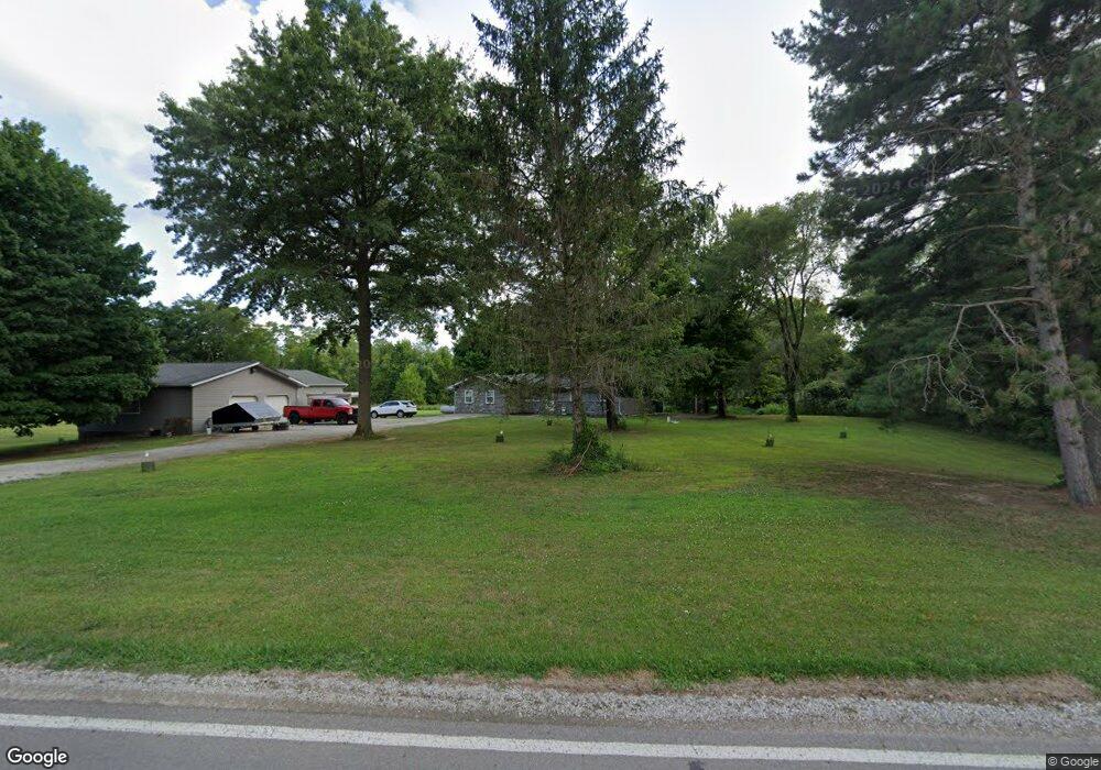
4539 Blacks Rd SW Pataskala, OH 43062
Union NeighborhoodEstimated Value: $343,000 - $459,907
3
Beds
3
Baths
1,656
Sq Ft
$251/Sq Ft
Est. Value
About This Home
This home is located at 4539 Blacks Rd SW, Pataskala, OH 43062 and is currently estimated at $416,227, approximately $251 per square foot. 4539 Blacks Rd SW is a home located in Licking County with nearby schools including Kirkersville Elementary School, Etna Elementary School, and Watkins Middle School.
Ownership History
Date
Name
Owned For
Owner Type
Purchase Details
Closed on
Sep 20, 2018
Sold by
James Michael C and James Candy L
Bought by
Brown Kyle M
Current Estimated Value
Home Financials for this Owner
Home Financials are based on the most recent Mortgage that was taken out on this home.
Original Mortgage
$271,491
Outstanding Balance
$234,972
Interest Rate
4.25%
Mortgage Type
FHA
Estimated Equity
$181,255
Purchase Details
Closed on
Apr 21, 2004
Sold by
Jude Jack Douglas and Jude Deborah Ann
Bought by
James Michael C and James Candy L
Home Financials for this Owner
Home Financials are based on the most recent Mortgage that was taken out on this home.
Original Mortgage
$129,000
Interest Rate
5.37%
Mortgage Type
Unknown
Create a Home Valuation Report for This Property
The Home Valuation Report is an in-depth analysis detailing your home's value as well as a comparison with similar homes in the area
Home Values in the Area
Average Home Value in this Area
Purchase History
| Date | Buyer | Sale Price | Title Company |
|---|---|---|---|
| Brown Kyle M | $276,500 | None Available | |
| James Michael C | $129,000 | Real Living Title |
Source: Public Records
Mortgage History
| Date | Status | Borrower | Loan Amount |
|---|---|---|---|
| Open | Brown Kyle M | $271,491 | |
| Previous Owner | James Michael C | $129,000 |
Source: Public Records
Tax History Compared to Growth
Tax History
| Year | Tax Paid | Tax Assessment Tax Assessment Total Assessment is a certain percentage of the fair market value that is determined by local assessors to be the total taxable value of land and additions on the property. | Land | Improvement |
|---|---|---|---|---|
| 2024 | $5,283 | $123,420 | $38,890 | $84,530 |
| 2023 | $5,279 | $123,420 | $38,890 | $84,530 |
| 2022 | $4,477 | $89,080 | $29,190 | $59,890 |
| 2021 | $4,608 | $89,080 | $29,190 | $59,890 |
| 2020 | $4,679 | $89,080 | $29,190 | $59,890 |
| 2019 | $4,080 | $71,440 | $25,380 | $46,060 |
| 2018 | $4,013 | $0 | $0 | $0 |
| 2017 | $3,978 | $0 | $0 | $0 |
| 2016 | $2,468 | $0 | $0 | $0 |
| 2015 | $2,382 | $0 | $0 | $0 |
| 2014 | $3,036 | $0 | $0 | $0 |
| 2013 | $2,351 | $0 | $0 | $0 |
Source: Public Records
Map
Nearby Homes
- 7667 Gale Rd SW
- 7740 Gale Rd SW
- 5020 Deeds Rd SW
- 5038 Deeds Rd SW
- 7877 Outville Rd SW
- 5796 Beecher Rd
- 219 Sycamore Rd
- 50 Cadillac Rd SW
- 228 Jones Ave SW
- 135 Tassel View St
- 0 York Rd SW Unit 225014420
- 0 Ashcraft Dr Unit Lot 27-A 225031190
- 5364 York Rd SW Unit lot 127
- 5364 York Rd SW
- 42 Ellington Commons Ln Unit 42
- 36 Ellington Commons Ln
- 124 Avery Place
- 150 Mannaseh Dr W
- 332 Waters Edge
- 131 Natalie Ln
- 4521 Blacks Rd SW
- 4503 Blacks Rd SW
- 4675 Blacks Rd SW
- 6710 Gale Rd SW
- 4465 Blacks Rd SW
- 4720 Blacks Rd SW
- 6784 Gale Rd SW
- 4454 Blacks Rd SW
- 6858 Gale Rd SW
- 6436 Gale Rd SW
- 6727 Gale Rd SW
- 6932 Gale Rd SW
- 6821 Gale Rd SW
- 101 Williamson Rd Unit LOT 84
- 101 Williamson Rd
- 4462 Blacks Rd SW
- 4393 Blacks Rd SW
- 6394 Gale Rd SW
- 6916 Gale Rd SW
- 4817 Blacks Rd SW