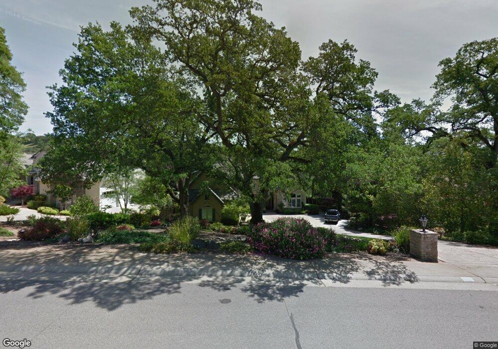
4539 Mountaingate Dr Rocklin, CA 95765
Stanford Ranch NeighborhoodEstimated Value: $1,134,000 - $1,185,000
About This Home
This home is located at 4539 Mountaingate Dr, Rocklin, CA 95765 and is currently estimated at $1,159,212, approximately $327 per square foot. 4539 Mountaingate Dr is a home located in Placer County with nearby schools including Breen Elementary, Granite Oaks Middle, and Rocklin High.
Ownership History
We collect this data history from publicly available records. To have your information removed, we recommend requesting removal directly through your county’s website.
Purchase Details
Purchase Details
Home Financials for this Owner
Home Financials are based on the most recent Mortgage that was taken out on this home.Purchase Details
Home Financials for this Owner
Home Financials are based on the most recent Mortgage that was taken out on this home.Purchase Details
Purchase Details
Home Financials for this Owner
Home Financials are based on the most recent Mortgage that was taken out on this home.Purchase Details
Home Values in the Area
Average Home Value in this Area
Purchase History
We collect this data history from publicly available records. To have your information removed, we recommend requesting removal directly through your county’s website.
| Date | Buyer | Sale Price | Title Company |
|---|---|---|---|
| -- | None Available | ||
| -- | Old Republic Title | ||
| -- | Old Republic Title | ||
| -- | Old Republic Title | ||
| -- | -- | ||
| $407,000 | Placer Title Company | ||
| $81,500 | Placer Title Company |
Mortgage History
We collect this data history from publicly available records. To have your information removed, we recommend requesting removal directly through your county’s website.
| Date | Status | Borrower | Loan Amount |
|---|---|---|---|
| Open | $90,000 | ||
| Open | $630,000 | ||
| Previous Owner | $325,600 |
Tax History
We collect this data history from publicly available records. To have your information removed, we recommend requesting removal directly through your county’s website.
| Year | Tax Paid | Tax Assessment Tax Assessment Total Assessment is a certain percentage of the fair market value that is determined by local assessors to be the total taxable value of land and additions on the property. | Land | Improvement |
|---|---|---|---|---|
| 2025 | $7,426 | $680,553 | $125,404 | $555,149 |
| 2023 | $7,426 | $654,129 | $120,536 | $533,593 |
| 2022 | $7,188 | $641,304 | $118,173 | $523,131 |
| 2021 | $7,110 | $628,730 | $115,856 | $512,874 |
| 2020 | $7,101 | $622,285 | $114,669 | $507,616 |
| 2019 | $7,004 | $610,084 | $112,421 | $497,663 |
| 2018 | $6,825 | $598,122 | $110,217 | $487,905 |
| 2017 | $6,832 | $586,395 | $108,056 | $478,339 |
| 2016 | $7,555 | $574,898 | $105,938 | $468,960 |
| 2015 | $7,447 | $566,263 | $104,347 | $461,916 |
| 2014 | $8,042 | $555,171 | $102,303 | $452,868 |
Map
- 2020 Shady Trail Ln
- 4507 Mountaingate Dr
- 2596 Clubhouse Dr W
- 4436 Pebble Beach Rd
- 4961 Charter Rd Unit 3
- 4446 Pebble Beach Rd
- 4540 Shenandoah Rd
- 2100 Wyckford Blvd
- 5112 Stratton Ct
- 1222 Buck Ridge Dr
- 4112 Legend Dr
- 1360 Bear Creek Dr
- 1349 Bear Creek Dr
- 1218 Buck Ridge Dr
- 1207 Buck Ridge Dr
- 1337 Bear Creek Dr
- 1329 Bear Creek Dr
- 1325 Bear Creek Dr
- 486 Red Sand Ct
- 806 Fallen Log Ct
- 4541 Mountaingate Dr
- 4543 Mountaingate Dr
- 4535 Mountaingate Dr
- 4540 Mountaingate Dr
- 4542 Mountaingate Dr
- 4538 Mountaingate Dr
- 4545 Mountaingate Dr
- 4533 Mountaingate Dr
- 4548 Mountaingate Dr
- 4528 Mountaingate Dr
- 2510 Cypress Ct
- 4547 Mountaingate Dr
- 4526 Mountaingate Dr
- 4531 Mountaingate Dr
- 2509 Knoll Ct
- 2506 Cypress Ct
- 2505 Knoll Ct
- 2021 Shady Trail Ln
- 2502 Cypress Ct
- 4549 Mountaingate Dr
Ask me questions while you tour the home.