454 Abbott Rd Barnesville, GA 30204
Estimated Value: $395,000 - $484,903
--
Bed
4
Baths
2,310
Sq Ft
$191/Sq Ft
Est. Value
About This Home
This home is located at 454 Abbott Rd, Barnesville, GA 30204 and is currently estimated at $441,476, approximately $191 per square foot. 454 Abbott Rd is a home with nearby schools including Lamar County Primary School, Lamar County Elementary School, and Lamar County Middle School.
Ownership History
Date
Name
Owned For
Owner Type
Purchase Details
Closed on
Sep 28, 2018
Sold by
Lewallen Fletch
Bought by
Clark Adam Blake and Clark Jessica Anne
Current Estimated Value
Home Financials for this Owner
Home Financials are based on the most recent Mortgage that was taken out on this home.
Original Mortgage
$183,825
Outstanding Balance
$159,312
Interest Rate
4.5%
Mortgage Type
New Conventional
Estimated Equity
$282,164
Purchase Details
Closed on
Mar 22, 2012
Sold by
Lewallen Fletch
Bought by
Owens Dan
Purchase Details
Closed on
Nov 7, 2007
Sold by
Lewallen Fletch
Bought by
Owens Dan
Purchase Details
Closed on
May 31, 2006
Sold by
Lewallen Fletch
Bought by
Owens Dan
Purchase Details
Closed on
Jan 30, 2006
Sold by
Thomason Carol R
Bought by
Lewallen Fletch
Purchase Details
Closed on
Aug 1, 1976
Bought by
Thomason Joseph R
Create a Home Valuation Report for This Property
The Home Valuation Report is an in-depth analysis detailing your home's value as well as a comparison with similar homes in the area
Purchase History
| Date | Buyer | Sale Price | Title Company |
|---|---|---|---|
| Clark Adam Blake | $193,500 | -- | |
| Owens Dan | $44,980 | -- | |
| Owens Dan | $32,870 | -- | |
| Owens Dan | $57,300 | -- | |
| Lewallen Fletch | $335,000 | -- | |
| Thomason Joseph R | $50,000 | -- |
Source: Public Records
Mortgage History
| Date | Status | Borrower | Loan Amount |
|---|---|---|---|
| Open | Clark Adam Blake | $183,825 |
Source: Public Records
Tax History
| Year | Tax Paid | Tax Assessment Tax Assessment Total Assessment is a certain percentage of the fair market value that is determined by local assessors to be the total taxable value of land and additions on the property. | Land | Improvement |
|---|---|---|---|---|
| 2025 | $3,858 | $180,617 | $30,363 | $150,254 |
| 2024 | $3,410 | $154,814 | $30,363 | $124,451 |
| 2023 | $3,368 | $143,662 | $30,363 | $113,299 |
| 2022 | $3,046 | $124,349 | $20,514 | $103,835 |
| 2021 | $1,782 | $73,322 | $20,514 | $52,808 |
| 2020 | $1,862 | $69,040 | $16,232 | $52,808 |
| 2019 | $2,191 | $69,040 | $16,232 | $52,808 |
| 2018 | $1,548 | $69,040 | $16,232 | $52,808 |
| 2017 | $1,559 | $69,040 | $16,232 | $52,808 |
| 2016 | $1,580 | $69,040 | $16,232 | $52,808 |
| 2015 | $2,027 | $80,858 | $16,232 | $64,627 |
| 2014 | $1,967 | $80,858 | $16,232 | $64,627 |
| 2013 | -- | $80,858 | $16,231 | $64,626 |
Source: Public Records
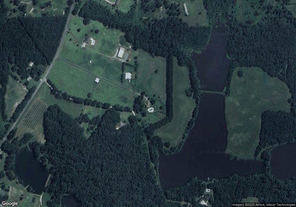
Map
Nearby Homes
- 1904 U S 341
- 1505 Willis Rd
- 272 Community House Rd
- 395 Country Kitchen Rd
- 330 Country Kitchen Rd
- 187 Coffey Rd
- 250 Perdue Rd
- 0 Us Highway 41
- 1013 Veterans Pkwy
- 249 Ponderosa Ln
- 202 Community House Rd
- 208 Community House Rd
- 216 Ponderosa Ln
- 329 Pine St
- 0 Yatesville Rd Unit 10650403
- 0 College Dr Unit 10632977
- 0 Highway 341 S Unit 10610486
- 108 Bradley Cir
- 146 Berry Rd Unit LOT 12B
- 148 Berry Rd Unit LOT 12A
- 440 Abbott Rd
- 121 Ritchie Rd
- 422 Abbott Rd
- 467 Abbott Rd
- 410 Abbott Rd
- 392 Abbott Rd
- 425 Abbott Rd
- 391 Abbott Rd
- 240 Ritchie Rd
- 240 Ritchie Rd
- 514 Abbott Rd
- 421 Abbott Rd
- 395 Abbott Rd
- 399 Abbott Rd
- 0 Abbott Rd Unit 7080141
- 0 Abbott Rd Unit 20147616
- 0 Abbott Rd Unit 10285667
- 0 Abbott Rd Unit M170882
- 0 Abbott Rd Unit 20057509
- 499 Abbott Rd
Your Personal Tour Guide
Ask me questions while you tour the home.