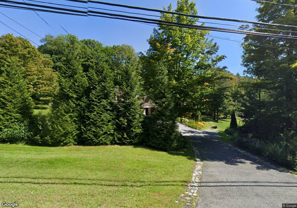
454 Colebrook Rd Colebrook, CT 06021
Estimated Value: $293,000 - $473,000
3
Beds
3
Baths
1,816
Sq Ft
$207/Sq Ft
Est. Value
About This Home
This home is located at 454 Colebrook Rd, Colebrook, CT 06021 and is currently estimated at $376,067, approximately $207 per square foot. 454 Colebrook Rd is a home with nearby schools including Colebrook Consolidated School, Northwestern Regional Middle School, and Northwestern Regional High School.
Ownership History
Date
Name
Owned For
Owner Type
Purchase Details
Closed on
Aug 26, 1999
Sold by
Roy Henry Joseph and Roy Mary Frances
Bought by
Deangelis Susan M and Deangelis Armand J
Current Estimated Value
Create a Home Valuation Report for This Property
The Home Valuation Report is an in-depth analysis detailing your home's value as well as a comparison with similar homes in the area
Home Values in the Area
Average Home Value in this Area
Purchase History
| Date | Buyer | Sale Price | Title Company |
|---|---|---|---|
| Deangelis Susan M | $103,500 | -- |
Source: Public Records
Mortgage History
| Date | Status | Borrower | Loan Amount |
|---|---|---|---|
| Open | Deangelis Susan M | $165,000 | |
| Closed | Deangelis Susan M | $162,000 | |
| Closed | Deangelis Susan M | $160,000 | |
| Closed | Deangelis Susan M | $140,625 |
Source: Public Records
Tax History
| Year | Tax Paid | Tax Assessment Tax Assessment Total Assessment is a certain percentage of the fair market value that is determined by local assessors to be the total taxable value of land and additions on the property. | Land | Improvement |
|---|---|---|---|---|
| 2025 | $5,574 | $165,400 | $38,500 | $126,900 |
| 2024 | $5,293 | $165,400 | $38,600 | $126,800 |
| 2023 | $5,491 | $165,400 | $38,600 | $126,800 |
| 2022 | $5,334 | $165,400 | $38,600 | $126,800 |
| 2021 | $5,111 | $165,400 | $38,600 | $126,800 |
| 2020 | $5,265 | $170,400 | $43,500 | $126,900 |
| 2019 | $5,265 | $170,400 | $43,500 | $126,900 |
| 2018 | $5,265 | $170,400 | $43,500 | $126,900 |
| 2017 | $5,265 | $170,400 | $43,500 | $126,900 |
| 2016 | $4,993 | $170,400 | $43,500 | $126,900 |
| 2015 | $5,243 | $188,600 | $56,300 | $132,300 |
| 2014 | $5,243 | $188,600 | $56,300 | $132,300 |
Source: Public Records
Map
Nearby Homes
- 106A Pinney St
- 0 Winsted Norfolk Rd Unit 24089254
- 50 Pine Rd
- 256 Colebrook Rd
- 11 Shantry Rd
- 000000 Norfolk Rd
- 197 Spencer Hill Rd
- 32 Norfolk Rd
- 70 Colebrook Rd
- 00 Greenwoods Rd E
- 115 Old Robertsville Rd
- 11 Old Creamery Rd
- 82 Riverton Rd
- 99 Hubbard St
- 77 Hubbard St
- 0 Old Robertsville Rd
- 38 Upland Rd
- 118 Meadow St
- 9 John St
- 0 Prock Hill Rd
- 460 Colebrook Rd
- 467 Colebrook Rd
- 412 Colebrook Rd
- 400 Colebrook Rd
- 414 Colebrook Rd
- 404 Colebrook Rd
- 456 Colebrook Rd
- 0 Millbrook Rd Unit 170082873
- 0 Millbrook Rd Unit G634812
- 0 Millbrook Rd Unit L148201
- 373 Colebrook Rd
- 363 Colebrook Rd
- 423 Colebrook Rd
- 421 Colebrook Rd
- 407 Colebrook Rd
- 405 Colebrook Rd
- 471 Colebrook Rd
- 1 Millbrook Rd
- 8 Millbrook Rd
- 0 Stillman Unit L126455
Your Personal Tour Guide
Ask me questions while you tour the home.