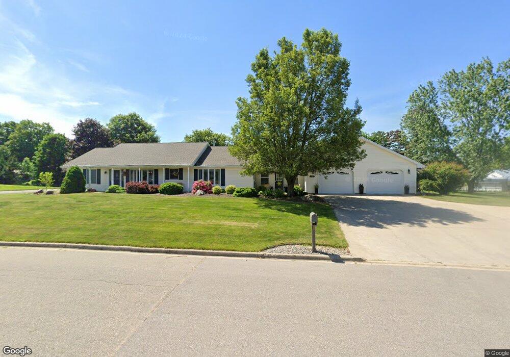
454 E Dayton St Fremont, MI 49412
Estimated Value: $270,989 - $314,000
3
Beds
3
Baths
3,400
Sq Ft
$86/Sq Ft
Est. Value
About This Home
This home is located at 454 E Dayton St, Fremont, MI 49412 and is currently estimated at $292,497, approximately $86 per square foot. 454 E Dayton St is a home located in Newaygo County with nearby schools including Daisy Brook Elementary School, Pathfinder Elementary School, and Quest High School.
Ownership History
Date
Name
Owned For
Owner Type
Purchase Details
Closed on
Oct 8, 2009
Sold by
Carl P Sneller Trust
Bought by
Nelson Jonathan L and Nelson Jennifer
Current Estimated Value
Home Financials for this Owner
Home Financials are based on the most recent Mortgage that was taken out on this home.
Original Mortgage
$114,500
Outstanding Balance
$74,843
Interest Rate
5.1%
Mortgage Type
Purchase Money Mortgage
Estimated Equity
$217,654
Purchase Details
Closed on
Dec 18, 2000
Sold by
Ritsema Craig T
Bought by
Sneller Carl P Trust/Virginia Trust
Create a Home Valuation Report for This Property
The Home Valuation Report is an in-depth analysis detailing your home's value as well as a comparison with similar homes in the area
Home Values in the Area
Average Home Value in this Area
Purchase History
| Date | Buyer | Sale Price | Title Company |
|---|---|---|---|
| Nelson Jonathan L | $135,000 | -- | |
| Sneller Carl P Trust/Virginia Trust | $40,500 | -- |
Source: Public Records
Mortgage History
| Date | Status | Borrower | Loan Amount |
|---|---|---|---|
| Open | Nelson Jonathan L | $114,500 |
Source: Public Records
Tax History Compared to Growth
Tax History
| Year | Tax Paid | Tax Assessment Tax Assessment Total Assessment is a certain percentage of the fair market value that is determined by local assessors to be the total taxable value of land and additions on the property. | Land | Improvement |
|---|---|---|---|---|
| 2025 | $3,615 | $150,000 | $0 | $0 |
| 2024 | $28 | $143,300 | $0 | $0 |
| 2023 | $2,658 | $126,300 | $0 | $0 |
| 2022 | $3,329 | $114,000 | $0 | $0 |
| 2021 | $3,219 | $103,400 | $0 | $0 |
| 2020 | $3,180 | $96,000 | $0 | $0 |
| 2019 | $3,045 | $86,700 | $0 | $0 |
| 2018 | $2,974 | $65,500 | $0 | $0 |
| 2017 | $2,931 | $62,300 | $0 | $0 |
| 2016 | $2,805 | $69,600 | $0 | $0 |
| 2015 | -- | $68,300 | $0 | $0 |
| 2014 | -- | $62,800 | $0 | $0 |
Source: Public Records
Map
Nearby Homes
- Integrity 2061 V8.1a Plan at Hillcrest
- Integrity 2000 Plan at Hillcrest
- integrity 2280 Plan at Hillcrest
- Integrity 1605 Plan at Hillcrest
- Integrity 1610 Plan at Hillcrest
- Integrity 2085 Plan at Hillcrest
- Integrity 1910 Plan at Hillcrest
- Integrity 2060 Plan at Hillcrest
- Integrity 1750 Plan at Hillcrest
- integrity 1830 Plan at Hillcrest
- Integrity 1880 Plan at Hillcrest
- integrity 1800 Plan at Hillcrest
- Integrity 2080 Plan at Hillcrest
- Integrity 2190 Plan at Hillcrest
- 601 E Oak St
- 130 Southwoods Ave
- 347 E Pine St
- 305 E Pine St
- 429 Chippewa Dr
- 412 N Darling Ave