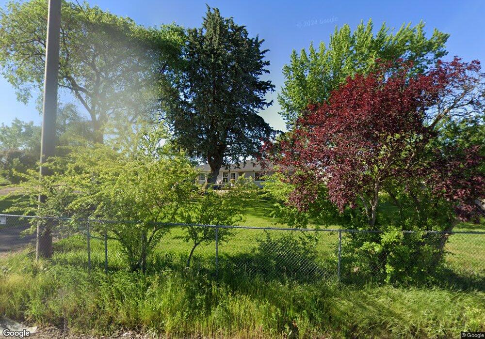
454 E Gregory Rd Central Point, OR 97502
Estimated Value: $413,679 - $576,000
4
Beds
2
Baths
1,446
Sq Ft
$330/Sq Ft
Est. Value
About This Home
This home is located at 454 E Gregory Rd, Central Point, OR 97502 and is currently estimated at $477,560, approximately $330 per square foot. 454 E Gregory Rd is a home located in Jackson County with nearby schools including Sams Valley Elementary School, Scenic Middle School, and Crater High School.
Ownership History
Date
Name
Owned For
Owner Type
Purchase Details
Closed on
May 14, 2007
Sold by
Pear Valley Inc
Bought by
Oxford David L and Oxford Kim M
Current Estimated Value
Home Financials for this Owner
Home Financials are based on the most recent Mortgage that was taken out on this home.
Original Mortgage
$330,000
Outstanding Balance
$197,436
Interest Rate
6.14%
Mortgage Type
Purchase Money Mortgage
Estimated Equity
$280,124
Purchase Details
Closed on
Mar 14, 2006
Sold by
Wilson Edward F and Wilson Joan H
Bought by
Pear Valley Inc
Create a Home Valuation Report for This Property
The Home Valuation Report is an in-depth analysis detailing your home's value as well as a comparison with similar homes in the area
Purchase History
| Date | Buyer | Sale Price | Title Company |
|---|---|---|---|
| Oxford David L | $425,000 | First American | |
| Pear Valley Inc | $255,000 | None Available |
Source: Public Records
Mortgage History
| Date | Status | Borrower | Loan Amount |
|---|---|---|---|
| Open | Oxford David L | $330,000 |
Source: Public Records
Tax History
| Year | Tax Paid | Tax Assessment Tax Assessment Total Assessment is a certain percentage of the fair market value that is determined by local assessors to be the total taxable value of land and additions on the property. | Land | Improvement |
|---|---|---|---|---|
| 2026 | $2,812 | $230,320 | -- | -- |
| 2025 | $2,747 | $223,620 | $85,400 | $138,220 |
| 2024 | $2,747 | $217,110 | $82,930 | $134,180 |
| 2023 | $2,656 | $210,790 | $80,520 | $130,270 |
| 2022 | $2,600 | $210,790 | $80,520 | $130,270 |
| 2021 | $2,526 | $204,660 | $78,170 | $126,490 |
| 2020 | $2,344 | $189,960 | $75,890 | $114,070 |
| 2019 | $2,290 | $179,060 | $71,530 | $107,530 |
| 2018 | $2,219 | $173,850 | $69,450 | $104,400 |
| 2017 | $2,167 | $173,850 | $69,450 | $104,400 |
| 2016 | $2,103 | $163,880 | $65,460 | $98,420 |
| 2015 | $2,006 | $163,880 | $65,460 | $98,420 |
| 2014 | $1,957 | $154,480 | $61,710 | $92,770 |
Source: Public Records
Map
Nearby Homes
- 1729 E Gregory Rd
- 380 W Gregory Rd Unit 1
- 594 W Gregory Rd
- 225 Wilson Rd
- 6850 Downing Rd Unit 11
- 6850 Downing Rd Unit SPC 31
- 6850 Downing Rd Unit 7
- 6850 Downing Rd Unit 25
- 6850 Downing Rd Unit 65
- 549 Wilson Rd
- 2460 Jeremy St
- 1917 Bobcat Way
- 4824 Airway Dr Unit 371W06BB410
- 1921 Bobcat Way
- 4676 Industry Dr
- 1617 Tennessee Ln
- 10068 SE Pavati Dr Unit 37
- 9674 SE Pavati Dr Unit 41
- 10098 SE Pavati Dr Unit 36
- 9697 SE Pavati Dr Unit 27
- 512 E Gregory Rd
- 424 E Gregory Rd
- 390 E Gregory Rd
- 465 E Gregory Rd
- 327 E Gregory Rd
- 302 E Gregory Rd
- 233 E Gregory Rd
- 230 E Gregory Rd
- 6636 Oakhurst St
- 215 E Gregory Rd
- 6589 Oakhurst St
- 208 E Gregory Rd
- 6569 Oakhurst St
- 6607 Oakhurst St
- 6656 Oakhurst St
- 199 E Gregory Rd
- 6625 Oakhurst St
- 186 E Gregory Rd
- 6682 Oakhurst St
- 6645 Oakhurst St
Your Personal Tour Guide
Ask me questions while you tour the home.