454 Hilltop Ln Cincinnati, OH 45215
Estimated Value: $565,000 - $783,000
4
Beds
3
Baths
2,416
Sq Ft
$280/Sq Ft
Est. Value
About This Home
This home is located at 454 Hilltop Ln, Cincinnati, OH 45215 and is currently estimated at $677,160, approximately $280 per square foot. 454 Hilltop Ln is a home located in Hamilton County with nearby schools including Wyoming High School and John Paul II Catholic School.
Ownership History
Date
Name
Owned For
Owner Type
Purchase Details
Closed on
Jun 29, 2006
Sold by
Schneider Marjorie S and Schneider Alan J
Bought by
Pursley Brian A and Pursley Amy L
Current Estimated Value
Home Financials for this Owner
Home Financials are based on the most recent Mortgage that was taken out on this home.
Original Mortgage
$332,000
Interest Rate
6.72%
Mortgage Type
Unknown
Create a Home Valuation Report for This Property
The Home Valuation Report is an in-depth analysis detailing your home's value as well as a comparison with similar homes in the area
Home Values in the Area
Average Home Value in this Area
Purchase History
| Date | Buyer | Sale Price | Title Company |
|---|---|---|---|
| Pursley Brian A | -- | Landamerica |
Source: Public Records
Mortgage History
| Date | Status | Borrower | Loan Amount |
|---|---|---|---|
| Closed | Pursley Brian A | $332,000 |
Source: Public Records
Tax History Compared to Growth
Tax History
| Year | Tax Paid | Tax Assessment Tax Assessment Total Assessment is a certain percentage of the fair market value that is determined by local assessors to be the total taxable value of land and additions on the property. | Land | Improvement |
|---|---|---|---|---|
| 2024 | $11,281 | $189,910 | $48,258 | $141,652 |
| 2023 | $10,401 | $189,910 | $48,258 | $141,652 |
| 2022 | $9,322 | $137,642 | $34,612 | $103,030 |
| 2021 | $9,083 | $137,642 | $34,612 | $103,030 |
| 2020 | $9,292 | $137,642 | $34,612 | $103,030 |
| 2019 | $9,139 | $125,129 | $31,465 | $93,664 |
| 2018 | $9,143 | $125,129 | $31,465 | $93,664 |
| 2017 | $8,754 | $125,129 | $31,465 | $93,664 |
| 2016 | $7,081 | $116,953 | $31,203 | $85,750 |
| 2015 | $7,164 | $116,953 | $31,203 | $85,750 |
| 2014 | $7,182 | $116,953 | $31,203 | $85,750 |
| 2013 | $6,359 | $99,114 | $26,443 | $72,671 |
Source: Public Records
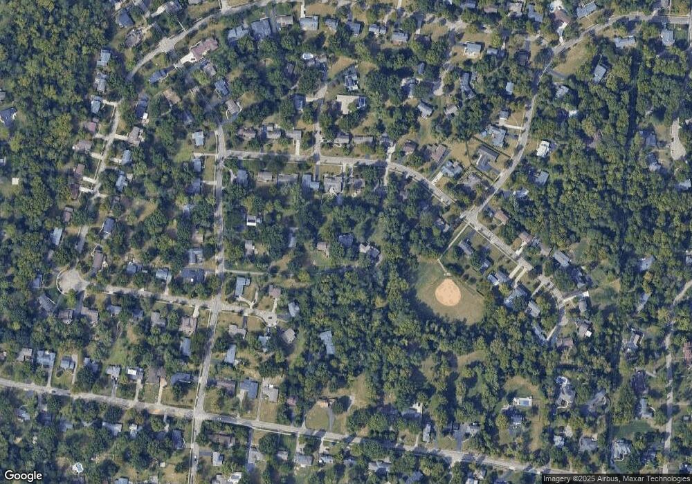
Map
Nearby Homes
- 525 Chisholm Trail
- 513 Chisholm Trail
- 377 Compton Rd
- 271 Poage Farm Rd
- 305 Compton Hills Dr
- 9197 Long Ln
- 8932 Hollyhock Dr
- 9458 Long Ln
- 8816 Falmouth Dr
- 926 Reily Rd
- 281 Compton Rd
- 500 Laramie Trail
- 204 Brocdorf Dr
- 9497 Long Ln
- 158 Congress Run Rd
- 239 Compton Ridge Dr
- 216 Hilltop Ln
- 9416 Shadyoak Ct
- 8608 Long Ln
- 253 Compton Rd
- 458 Hilltop Ln
- 450 Hilltop Ln
- 531 Chisholm Trail
- 460 Hilltop Ln
- 519 Chisholm Trail
- 537 Chisholm Trail
- 507 Chisholm Trail
- 543 Chisholm Trail
- 544 Tohatchi Dr
- 538 Tohatchi Dr
- 464 Hilltop Ln
- 549 Chisholm Trail
- 470 Hilltop Ln
- 502 Compton Rd
- 532 Chisholm Trail
- 526 Chisholm Trail
- 440 Hilltop Ln
- 520 Chisholm Trail
- 537 Tohatchi Dr
- 542 Chisholm Trail