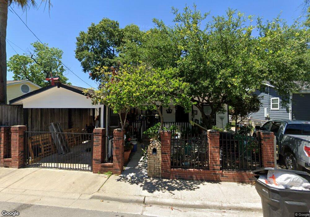
454 Lenard St Houston, TX 77009
Greater Heights NeighborhoodEstimated Value: $283,431 - $404,000
3
Beds
3
Baths
1,322
Sq Ft
$271/Sq Ft
Est. Value
About This Home
This home is located at 454 Lenard St, Houston, TX 77009 and is currently estimated at $357,608, approximately $270 per square foot. 454 Lenard St is a home located in Harris County with nearby schools including Jefferson Elementary School, Hamilton Middle, and Heights High School.
Ownership History
Date
Name
Owned For
Owner Type
Purchase Details
Closed on
Oct 11, 2011
Sold by
Rol Ad Inc
Bought by
Rocha Bertha
Current Estimated Value
Purchase Details
Closed on
Sep 5, 1989
Sold by
Mcdonald James R
Bought by
Botello Luciano Rocha and Rocha Bertha
Home Financials for this Owner
Home Financials are based on the most recent Mortgage that was taken out on this home.
Original Mortgage
$33,600
Interest Rate
10%
Mortgage Type
Seller Take Back
Create a Home Valuation Report for This Property
The Home Valuation Report is an in-depth analysis detailing your home's value as well as a comparison with similar homes in the area
Home Values in the Area
Average Home Value in this Area
Purchase History
| Date | Buyer | Sale Price | Title Company |
|---|---|---|---|
| Rocha Bertha | -- | None Available | |
| Botello Luciano Rocha | $33,600 | -- |
Source: Public Records
Mortgage History
| Date | Status | Borrower | Loan Amount |
|---|---|---|---|
| Previous Owner | Botello Luciano Rocha | $33,600 |
Source: Public Records
Tax History Compared to Growth
Tax History
| Year | Tax Paid | Tax Assessment Tax Assessment Total Assessment is a certain percentage of the fair market value that is determined by local assessors to be the total taxable value of land and additions on the property. | Land | Improvement |
|---|---|---|---|---|
| 2025 | $589 | $240,048 | $142,500 | $97,548 |
| 2024 | $589 | $221,729 | $128,250 | $93,479 |
| 2023 | $449 | $239,919 | $128,250 | $111,669 |
| 2022 | $4,080 | $187,551 | $122,550 | $65,001 |
| 2021 | $3,926 | $168,453 | $114,000 | $54,453 |
| 2020 | $3,842 | $158,655 | $99,750 | $58,905 |
| 2019 | $4,015 | $158,655 | $99,750 | $58,905 |
| 2018 | $2,678 | $260,076 | $179,550 | $80,526 |
| 2017 | $6,440 | $260,076 | $179,550 | $80,526 |
| 2016 | $5,854 | $256,754 | $168,525 | $88,229 |
| 2015 | $3,776 | $256,754 | $168,525 | $88,229 |
| 2014 | $3,776 | $194,469 | $110,745 | $83,724 |
Source: Public Records
Map
Nearby Homes
- 1737 Tabor St
- 1818 & 1820 Lula St
- 1638 Tabor St
- 5511 Enid St
- 408 Robert Lee Rd
- 1630 1/2 Tabor St
- 1833 Tabor St
- 1603 Sylvester Rd
- 1611 Sylvester Rd
- 1607 Sylvester Rd
- 5715 Enid St
- 1807 Palmetto Landing Dr
- 1805 Palmetto Landing Dr
- 1803 Palmetto Landing Dr
- 1609 Tabor St
- 2416 Eastman St
- 1606 Walton St
- 1510 Walton St
- 1511 Cordell St
- 1405 Sylvester Rd
- 1718 Tabor St
- 1722 Tabor St
- 440 Lenard St
- 1728 Tabor St
- 434 Lenard St
- 434 Lenard St Unit 6
- 434 Lenard St Unit A
- 434 Lenard St Unit F
- 434 Lenard St Unit B
- 434 Lenard St Unit D
- 434 Lenard St Unit E
- 1735 Tabor St
- 1725 Tabor St
- 1803 Tabor St
- 448 Link Rd
- 452 Link Rd
- 446 Link Rd
- 450 Link Rd
- 1706 Tabor St
- 503 Service St