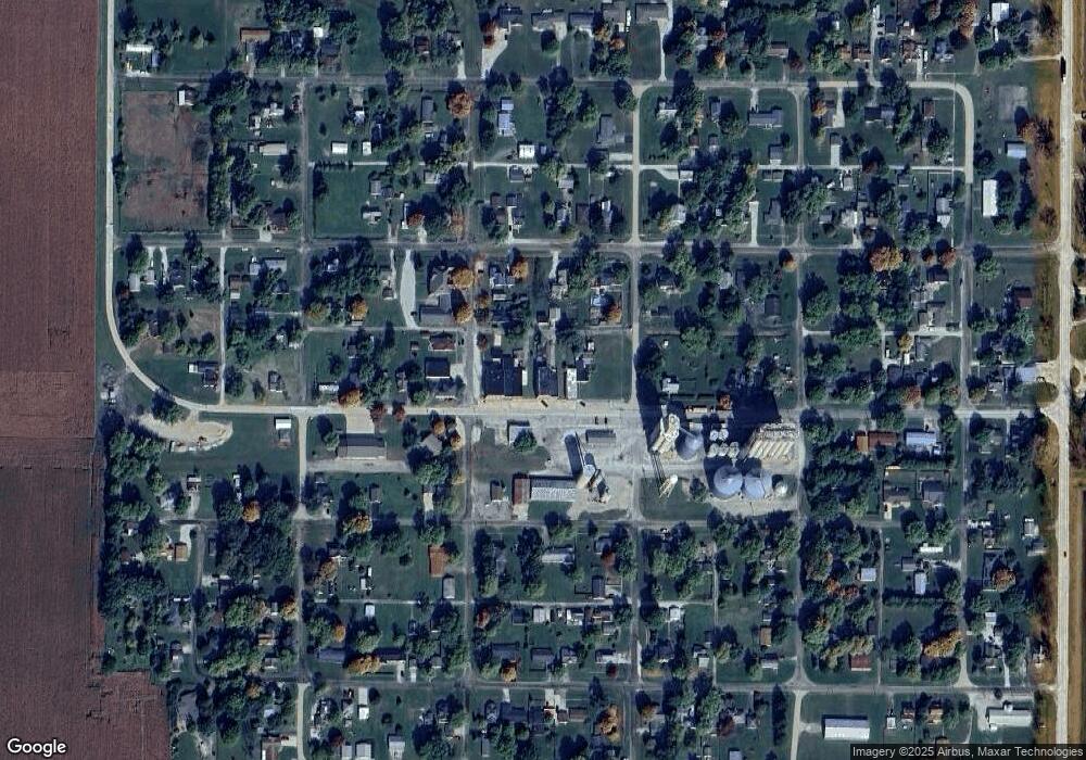
454 Maple St Weldon, IL 61882
Studio
--
Bath
2,080
Sq Ft
5,489
Sq Ft Lot
About This Home
This home is located at 454 Maple St, Weldon, IL 61882. 454 Maple St is a home located in De Witt County with nearby schools including DeLand-Weldon Elementary School, DeLand-Weldon Middle School, and DeLand-Weldon High School.
Ownership History
Date
Name
Owned For
Owner Type
Purchase Details
Closed on
May 4, 2012
Sold by
Moore Clifford Randall
Bought by
Seitz Steven T
Create a Home Valuation Report for This Property
The Home Valuation Report is an in-depth analysis detailing your home's value as well as a comparison with similar homes in the area
Purchase History
| Date | Buyer | Sale Price | Title Company |
|---|---|---|---|
| Seitz Steven T | $1,000 | -- |
Source: Public Records
Tax History
| Year | Tax Paid | Tax Assessment Tax Assessment Total Assessment is a certain percentage of the fair market value that is determined by local assessors to be the total taxable value of land and additions on the property. | Land | Improvement |
|---|---|---|---|---|
| 2024 | $496 | $5,843 | $1,153 | $4,690 |
| 2023 | $459 | $5,321 | $1,050 | $4,271 |
| 2022 | $468 | $5,020 | $991 | $4,029 |
| 2021 | $434 | $4,874 | $962 | $3,912 |
| 2020 | $453 | $4,874 | $962 | $3,912 |
| 2019 | $444 | $4,874 | $962 | $3,912 |
| 2018 | $430 | $4,759 | $939 | $3,820 |
| 2017 | $430 | $4,630 | $903 | $3,727 |
| 2016 | $411 | $4,539 | $885 | $3,654 |
| 2015 | $386 | $4,539 | $885 | $3,654 |
| 2014 | $386 | $4,539 | $885 | $3,654 |
| 2013 | -- | $4,539 | $885 | $3,654 |
Source: Public Records
Map
Nearby Homes
- 215 Grove St
- 2 Timberlake Dr
- 0000 White Pigeon Rd
- 000 Adam Rd
- 1008 Bloomington St
- 269 Chicago St
- 215 Chicago St
- 101 E Third
- 220 S Western Ave
- 260 N Sherman St
- 17395 Swisher Hill Rd
- 12454 Cracker Rd
- 8590 Hickory Hills Dr
- TBD Water St
- 1255 George Rock Dr
- 940 Clinton Ave
- 1455 Bluebell Ln
- 514 S Maple St
- 275 E Broadway St
- 647 County Farm Rd
