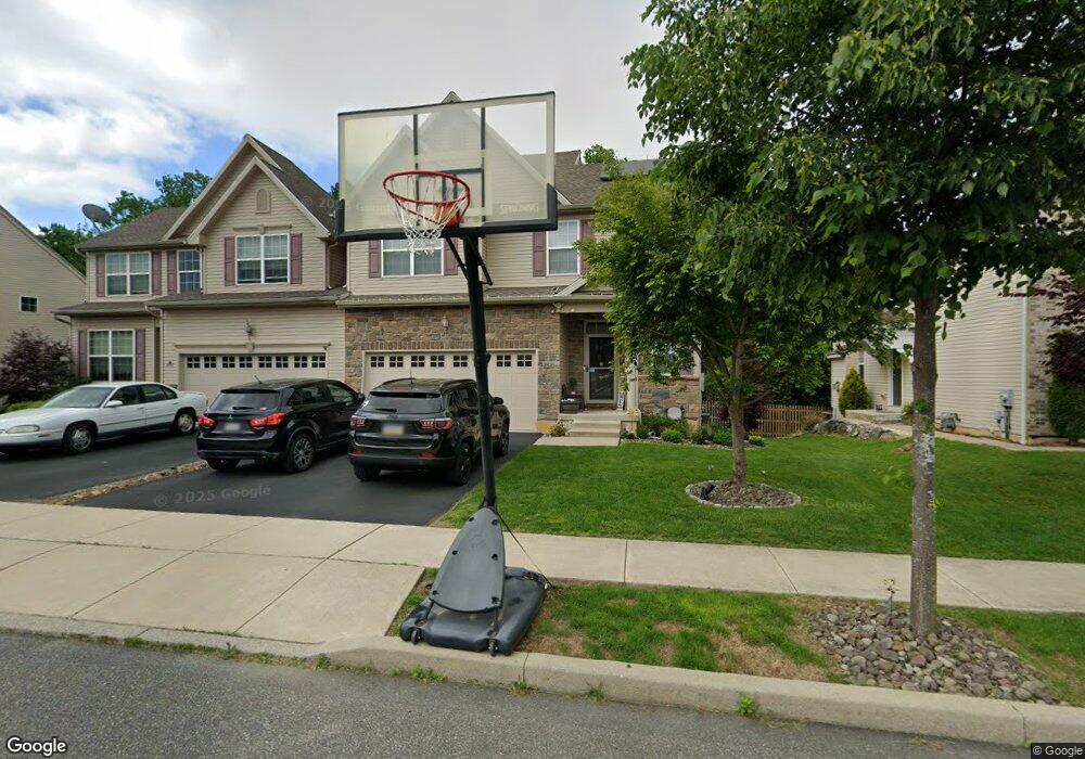
454 Racite Rd Alburtis, PA 18011
Lower Macungie Township West NeighborhoodEstimated Value: $396,000 - $441,000
3
Beds
3
Baths
1,801
Sq Ft
$234/Sq Ft
Est. Value
About This Home
This home is located at 454 Racite Rd, Alburtis, PA 18011 and is currently estimated at $421,249, approximately $233 per square foot. 454 Racite Rd is a home with nearby schools including Alburtis Elementary School, Lower Macungie Middle School, and Emmaus High School.
Ownership History
Date
Name
Owned For
Owner Type
Purchase Details
Closed on
Jan 20, 2023
Sold by
Amarosa Lloyd L
Bought by
Peter Amarosa Settlement Trust and Philadelphia Trust Company,
Current Estimated Value
Purchase Details
Closed on
May 20, 2021
Sold by
Caponetta Jennie and Amarosa Debra A
Bought by
Amarosa Lloyd L and Amarosa Peter
Purchase Details
Closed on
Jul 25, 2014
Sold by
Kay Builders Inc
Bought by
Caonetta Jennifer and Salomone Debra A
Home Financials for this Owner
Home Financials are based on the most recent Mortgage that was taken out on this home.
Original Mortgage
$150,000
Interest Rate
4.09%
Mortgage Type
New Conventional
Purchase Details
Closed on
Dec 16, 2013
Sold by
Jaindl David M and Jaindl Mark W
Bought by
Kay Builders Inc
Create a Home Valuation Report for This Property
The Home Valuation Report is an in-depth analysis detailing your home's value as well as a comparison with similar homes in the area
Home Values in the Area
Average Home Value in this Area
Purchase History
| Date | Buyer | Sale Price | Title Company |
|---|---|---|---|
| Peter Amarosa Settlement Trust | $342,000 | -- | |
| Amarosa Lloyd L | -- | None Available | |
| Caonetta Jennifer | $217,630 | None Available | |
| Kay Builders Inc | $193,000 | None Available |
Source: Public Records
Mortgage History
| Date | Status | Borrower | Loan Amount |
|---|---|---|---|
| Previous Owner | Caonetta Jennifer | $150,000 |
Source: Public Records
Tax History Compared to Growth
Tax History
| Year | Tax Paid | Tax Assessment Tax Assessment Total Assessment is a certain percentage of the fair market value that is determined by local assessors to be the total taxable value of land and additions on the property. | Land | Improvement |
|---|---|---|---|---|
| 2025 | $6,298 | $214,500 | $13,200 | $201,300 |
| 2024 | $6,137 | $214,500 | $13,200 | $201,300 |
| 2023 | $5,853 | $214,500 | $13,200 | $201,300 |
| 2022 | $5,730 | $214,500 | $201,300 | $13,200 |
| 2021 | $5,622 | $214,500 | $13,200 | $201,300 |
| 2020 | $5,575 | $214,500 | $13,200 | $201,300 |
| 2019 | $5,545 | $214,500 | $13,200 | $201,300 |
| 2018 | $5,482 | $214,500 | $13,200 | $201,300 |
| 2017 | $5,398 | $214,500 | $13,200 | $201,300 |
| 2016 | -- | $214,500 | $13,200 | $201,300 |
| 2015 | -- | $415,800 | $13,200 | $402,600 |
Source: Public Records
Map
Nearby Homes
- 317 Lockridge Ln
- 428 Thomas St
- 108 E 2nd St
- 121 S Main St Unit 123
- 241 Flint Hill Rd
- 354 W 2nd St
- 0 Clauss Hunt Knight Dr Unit 10 Units 763578
- 3371 Mathews Ln
- 6903 Lincoln Dr
- 7230 Pioneer Dr
- 7318 Sauerkraut Ln Unit E
- 6875 Pioneer Dr
- 31 Barbara Dr
- 6709 Mountain Rd
- 0 Mountain Lot 1
- 2845 Donegal Dr
- 2840 Donegal Dr
- 6405 Robin Rd
- 167 Aspen Ln
- 1108 S Barbara Dr