Estimated Value: $189,000 - $244,000
3
Beds
2
Baths
1,202
Sq Ft
$175/Sq Ft
Est. Value
About This Home
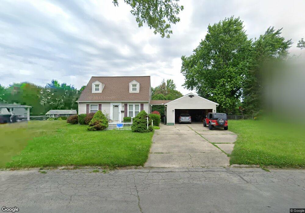
This home is located at 454 Thelma Ave, Xenia, OH 45385 and is currently estimated at $210,825, approximately $175 per square foot. 454 Thelma Ave is a home located in Greene County with nearby schools including Xenia High School, Summit Academy Community School for Alternative Learners - Xenia, and Legacy Christian Academy.
Ownership History
Date
Name
Owned For
Owner Type
Purchase Details
Closed on
Aug 25, 2000
Sold by
Russell John W and Russell Shannon
Bought by
Palmer James K and Strickland Nina C
Current Estimated Value
Home Financials for this Owner
Home Financials are based on the most recent Mortgage that was taken out on this home.
Original Mortgage
$98,500
Outstanding Balance
$34,371
Interest Rate
7.5%
Estimated Equity
$176,454
Purchase Details
Closed on
Nov 19, 1996
Sold by
Holsinger Jeffery E
Bought by
Russell John W and Russell Shannon
Home Financials for this Owner
Home Financials are based on the most recent Mortgage that was taken out on this home.
Original Mortgage
$84,438
Interest Rate
8.18%
Mortgage Type
FHA
Create a Home Valuation Report for This Property
The Home Valuation Report is an in-depth analysis detailing your home's value as well as a comparison with similar homes in the area
Home Values in the Area
Average Home Value in this Area
Purchase History
| Date | Buyer | Sale Price | Title Company |
|---|---|---|---|
| Palmer James K | $97,500 | Midwest Abstract Company | |
| Russell John W | $85,000 | -- |
Source: Public Records
Mortgage History
| Date | Status | Borrower | Loan Amount |
|---|---|---|---|
| Open | Palmer James K | $98,500 | |
| Closed | Russell John W | $84,438 |
Source: Public Records
Tax History Compared to Growth
Tax History
| Year | Tax Paid | Tax Assessment Tax Assessment Total Assessment is a certain percentage of the fair market value that is determined by local assessors to be the total taxable value of land and additions on the property. | Land | Improvement |
|---|---|---|---|---|
| 2024 | $2,308 | $55,350 | $12,920 | $42,430 |
| 2023 | $2,308 | $55,350 | $12,920 | $42,430 |
| 2022 | $1,888 | $38,610 | $7,180 | $31,430 |
| 2021 | $1,914 | $38,610 | $7,180 | $31,430 |
| 2020 | $1,831 | $38,610 | $7,180 | $31,430 |
| 2019 | $1,506 | $29,890 | $7,720 | $22,170 |
| 2018 | $1,512 | $29,890 | $7,720 | $22,170 |
| 2017 | $1,573 | $29,890 | $7,720 | $22,170 |
| 2016 | $1,573 | $30,530 | $7,720 | $22,810 |
| 2015 | $1,578 | $30,530 | $7,720 | $22,810 |
| 2014 | $1,509 | $30,530 | $7,720 | $22,810 |
Source: Public Records
Map
Nearby Homes
- 440 Thelma Ave
- 472 Thelma Ave
- 493 N Stadium Dr
- 509 N Stadium Dr
- 465 N Stadium Dr
- 432 Thelma Ave
- 463 Thelma Ave
- 477 Thelma Ave
- 598 Louise Dr
- 588 Louise Dr
- 445 Thelma Ave
- 614 Louise Dr
- 493 Thelma Ave
- 531 N Stadium Dr
- 404 S Stadium Dr
- 466 N Stadium Dr
- 466 N Stadium Dr
- 503 Thelma Ave
- 482 N Stadium Dr
- 496 N Stadium Dr