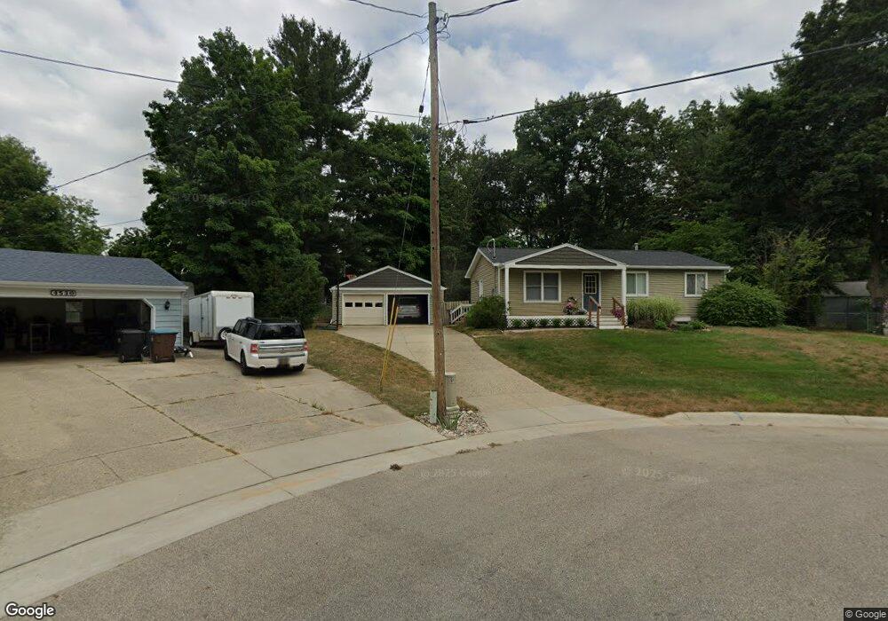
4541 Lantern Ct NW Comstock Park, MI 49321
Estimated Value: $275,000 - $348,000
4
Beds
2
Baths
1,200
Sq Ft
$263/Sq Ft
Est. Value
About This Home
This home is located at 4541 Lantern Ct NW, Comstock Park, MI 49321 and is currently estimated at $316,120, approximately $263 per square foot. 4541 Lantern Ct NW is a home located in Kent County with nearby schools including Stoney Creek Elementary School, Pine Island Elementary School, and Mill Creek Middle School.
Ownership History
Date
Name
Owned For
Owner Type
Purchase Details
Closed on
Feb 28, 2006
Sold by
Cornwell Steven and Cornwell Tina C
Bought by
Johnson Gregory S and Johnson Amber G
Current Estimated Value
Home Financials for this Owner
Home Financials are based on the most recent Mortgage that was taken out on this home.
Original Mortgage
$117,050
Outstanding Balance
$66,269
Interest Rate
6.2%
Mortgage Type
Fannie Mae Freddie Mac
Estimated Equity
$249,851
Purchase Details
Closed on
Mar 9, 2001
Sold by
Lantinga Ruth and Cantile Mary
Bought by
Cornwell Steven and Cornwell Tina C
Home Financials for this Owner
Home Financials are based on the most recent Mortgage that was taken out on this home.
Original Mortgage
$109,285
Interest Rate
7.13%
Mortgage Type
FHA
Purchase Details
Closed on
Jan 1, 1969
Bought by
Lantinga J and Johnson Amber G
Create a Home Valuation Report for This Property
The Home Valuation Report is an in-depth analysis detailing your home's value as well as a comparison with similar homes in the area
Home Values in the Area
Average Home Value in this Area
Purchase History
| Date | Buyer | Sale Price | Title Company |
|---|---|---|---|
| Johnson Gregory S | $130,100 | None Available | |
| Cornwell Steven | $111,000 | -- | |
| Lantinga J | $17,900 | -- |
Source: Public Records
Mortgage History
| Date | Status | Borrower | Loan Amount |
|---|---|---|---|
| Open | Johnson Gregory S | $117,050 | |
| Previous Owner | Cornwell Steven | $109,285 |
Source: Public Records
Tax History Compared to Growth
Tax History
| Year | Tax Paid | Tax Assessment Tax Assessment Total Assessment is a certain percentage of the fair market value that is determined by local assessors to be the total taxable value of land and additions on the property. | Land | Improvement |
|---|---|---|---|---|
| 2025 | $1,879 | $138,400 | $0 | $0 |
| 2024 | $1,879 | $117,600 | $0 | $0 |
| 2023 | $1,796 | $98,500 | $0 | $0 |
| 2022 | $2,257 | $88,700 | $0 | $0 |
| 2021 | $2,202 | $84,600 | $0 | $0 |
| 2020 | $1,649 | $77,000 | $0 | $0 |
| 2019 | $1,976 | $64,300 | $0 | $0 |
| 2018 | $1,938 | $64,300 | $0 | $0 |
| 2017 | $1,884 | $60,000 | $0 | $0 |
| 2016 | $1,826 | $56,800 | $0 | $0 |
| 2015 | -- | $56,800 | $0 | $0 |
| 2013 | -- | $49,600 | $0 | $0 |
Source: Public Records
Map
Nearby Homes
- 187 Lantern Dr NW
- 452 Springfield St NW
- 4893 Stony Creek Ave NW
- 4581 Westshire Dr NW
- 510 Clark St NW
- 4154 Woodrush Ln NW Unit 65
- 4010 Woodrush Ln NW Unit 40
- Wilshire Plan at The Range
- Remington Plan at The Range
- Linden Plan at The Range
- Enclave Plan at The Range
- Croswell Plan at The Range
- Cascade Plan at The Range
- Carson Plan at The Range
- Avery Plan at The Range
- Ashton Plan at The Range
- Andover Plan at The Range
- 981 Ellerston St NW
- 33 Star Gazer Ln NE
- 264 Mabel St NW Unit 55
- 4553 Lantern Ct NW
- 397 Brandywyne Dr NW
- 300 Lantern Dr NW
- 387 Brandywyne Dr NW
- 4530 Lantern Ct NW
- 278 Lantern Dr NW
- 377 Brandywyne Dr NW
- 411 Brandywyne Dr NW
- 4540 Lantern Ct NW
- 367 Brandywyne Dr NW
- 4554 Lantern Ct NW
- 254 Lantern Dr NW
- 355 Brandywyne Dr NW
- 4590 Lantern Ct NW
- 4578 Lantern Ct NW
- 273 Lantern Dr NW
- 394 Brandywyne Dr NW
- 287 Brandywyne Dr NW
- 4566 Lantern Ct NW
- 404 Brandywyne Dr NW