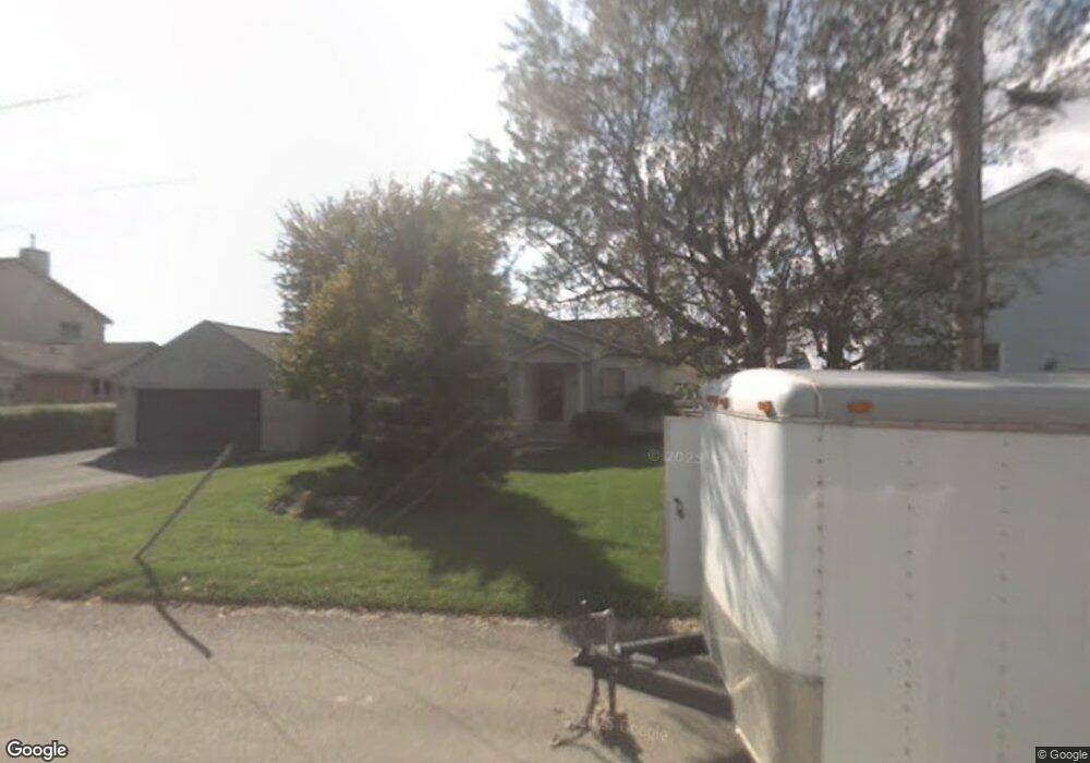
45431 Teal Ct Unit Bldg-Unit Chesterfield, MI 48047
Estimated Value: $347,477 - $435,000
2
Beds
2
Baths
1,368
Sq Ft
$285/Sq Ft
Est. Value
About This Home
This home is located at 45431 Teal Ct Unit Bldg-Unit, Chesterfield, MI 48047 and is currently estimated at $389,369, approximately $284 per square foot. 45431 Teal Ct Unit Bldg-Unit is a home located in Macomb County with nearby schools including Green Elementary School, L'Anse Creuse Middle School - North, and L'Anse Creuse High School - North.
Ownership History
Date
Name
Owned For
Owner Type
Purchase Details
Closed on
Jul 13, 2018
Sold by
Cargill Michael D and Cargill Denise
Bought by
Stephens Rick and Stephens Lisa
Current Estimated Value
Home Financials for this Owner
Home Financials are based on the most recent Mortgage that was taken out on this home.
Original Mortgage
$275,500
Outstanding Balance
$238,762
Interest Rate
4.5%
Mortgage Type
Purchase Money Mortgage
Estimated Equity
$150,607
Purchase Details
Closed on
Jul 8, 2014
Sold by
Poole Gerald A
Bought by
Cargill Michael D
Create a Home Valuation Report for This Property
The Home Valuation Report is an in-depth analysis detailing your home's value as well as a comparison with similar homes in the area
Home Values in the Area
Average Home Value in this Area
Purchase History
| Date | Buyer | Sale Price | Title Company |
|---|---|---|---|
| Stephens Rick | $290,000 | Premier Title Agency Llc | |
| Cargill Michael D | $217,800 | Sterling Title Agency |
Source: Public Records
Mortgage History
| Date | Status | Borrower | Loan Amount |
|---|---|---|---|
| Open | Stephens Rick | $275,500 |
Source: Public Records
Tax History Compared to Growth
Tax History
| Year | Tax Paid | Tax Assessment Tax Assessment Total Assessment is a certain percentage of the fair market value that is determined by local assessors to be the total taxable value of land and additions on the property. | Land | Improvement |
|---|---|---|---|---|
| 2025 | $4,854 | $151,100 | $0 | $0 |
| 2024 | $3,144 | $140,000 | $0 | $0 |
| 2023 | $2,982 | $130,800 | $0 | $0 |
| 2022 | $4,403 | $125,700 | $0 | $0 |
| 2021 | $4,097 | $119,800 | $0 | $0 |
| 2020 | $2,737 | $118,800 | $0 | $0 |
| 2019 | $2,980 | $113,900 | $0 | $0 |
| 2018 | $3,088 | $106,100 | $47,800 | $58,300 |
| 2017 | $3,045 | $93,400 | $43,150 | $50,250 |
| 2016 | $2,980 | $93,400 | $0 | $0 |
| 2015 | $864 | $89,850 | $0 | $0 |
| 2014 | $864 | $81,450 | $41,450 | $40,000 |
| 2012 | -- | $0 | $0 | $0 |
Source: Public Records
Map
Nearby Homes
- 45465 Teal Ct
- 45527 Jefferson Ave
- 00 Jefferson Ave
- 46070 Edgewater St
- 46133 Edgewater St
- 28475 Tiffin Dr
- 000 Farwell St
- 29050 Farwell St
- 46835 Putnam Ct
- 00000 21 Mile Rd
- 47031 Jefferson Ave
- 29401 Wand Dr
- 21 MILE Road
- 27632 Maryjane Ln
- 47031 Brookview Dr
- 27621 Maryjane Ln
- 27602 Maryjane Ln
- 27633 Maryjane Ln
- 29126 Brooke Meadows Ct
- 29371 Bayside Cir N
- 45431 Teal Ct
- 45411 Teal Ct
- 45441 Teal Ct
- 45459 Teal Ct
- 45430 Teal Ct
- 45440 Teal Ct
- 28915 Field St
- 45450 Teal Ct
- 28925 Field St
- 45464 Teal Ct
- 45466 Private Shore Dr
- 28881 Field St
- 45481 Teal Ct
- 45450 Private Shore Dr
- 28912 Field St
- 45501 Private Shore Dr
- 45491 Teal Ct
- 45420 Private Shore Dr
- 28955 William P Rosso Hwy
- 45434 Private Shore Dr