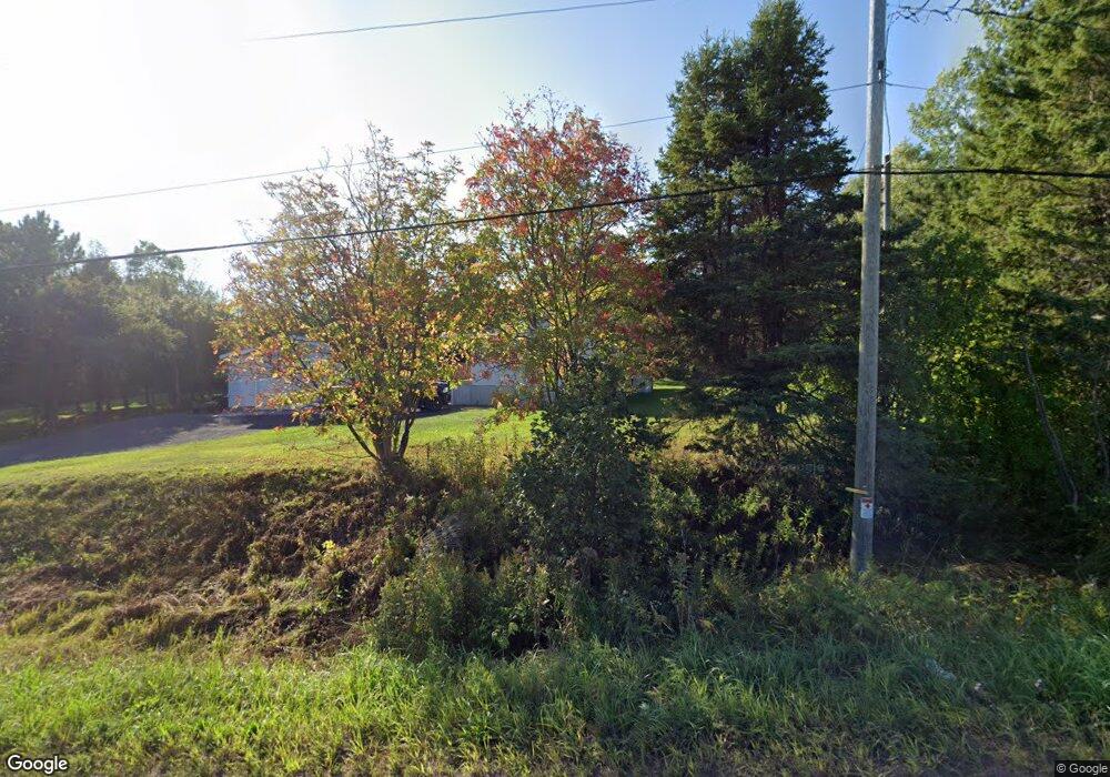
45439 Superior Rd Houghton, MI 49931
Estimated Value: $120,919 - $453,000
2
Beds
1
Bath
1,056
Sq Ft
$249/Sq Ft
Est. Value
About This Home
This home is located at 45439 Superior Rd, Houghton, MI 49931 and is currently estimated at $262,980, approximately $249 per square foot. 45439 Superior Rd is a home located in Houghton County with nearby schools including Houghton Elementary School, Houghton Middle School, and Houghton Central High School.
Ownership History
Date
Name
Owned For
Owner Type
Purchase Details
Closed on
Apr 26, 2024
Sold by
Kedzior Joseph D
Bought by
Mattson Michael R
Current Estimated Value
Home Financials for this Owner
Home Financials are based on the most recent Mortgage that was taken out on this home.
Original Mortgage
$38,000
Interest Rate
6.19%
Mortgage Type
New Conventional
Purchase Details
Closed on
Apr 10, 2017
Sold by
Heckel Howard A
Bought by
Kedzior Joseph D
Create a Home Valuation Report for This Property
The Home Valuation Report is an in-depth analysis detailing your home's value as well as a comparison with similar homes in the area
Home Values in the Area
Average Home Value in this Area
Purchase History
| Date | Buyer | Sale Price | Title Company |
|---|---|---|---|
| Mattson Michael R | $46,000 | M&M Title | |
| Kedzior Joseph D | $32,200 | Attorney Only |
Source: Public Records
Mortgage History
| Date | Status | Borrower | Loan Amount |
|---|---|---|---|
| Previous Owner | Mattson Michael R | $38,000 |
Source: Public Records
Tax History Compared to Growth
Tax History
| Year | Tax Paid | Tax Assessment Tax Assessment Total Assessment is a certain percentage of the fair market value that is determined by local assessors to be the total taxable value of land and additions on the property. | Land | Improvement |
|---|---|---|---|---|
| 2025 | $1,477 | $50,108 | $0 | $0 |
| 2024 | $848 | $41,313 | $0 | $0 |
| 2023 | $579 | $33,273 | $0 | $0 |
| 2022 | $962 | $30,072 | $0 | $0 |
| 2021 | $944 | $28,695 | $0 | $0 |
| 2020 | $868 | $25,612 | $0 | $0 |
| 2019 | $1,122 | $26,229 | $0 | $0 |
| 2018 | $1,602 | $31,079 | $0 | $0 |
| 2017 | $779 | $29,422 | $0 | $0 |
| 2016 | -- | $30,058 | $0 | $0 |
| 2015 | -- | $29,684 | $0 | $0 |
| 2014 | -- | $28,078 | $0 | $0 |
Source: Public Records
Map
Nearby Homes
- 46396 Maple St
- TBD-1 Green Acres Rd
- 47302 Janovosky Rd
- TBD Baltic-Onkalo's Corner Rd
- 2103 Balsam Ln
- TBD-undeveloped Oak Ridge Ln
- TBD Razorback Dr Unit Part of Lot 22, Enti
- 47594 1st St
- 19990 Henry St
- 1906 White Oak Ln
- 42936 Superior Rd
- 1905 Poplar Dr
- 1506 Sugar Maple Ln
- 1504 Sugar Maple Ln
- TBD Huron St
- TBD4 Upper Massie Rd
- TBD1 Upper Massie Rd
- 503 W Baraga Ave
- 19336 W Edwards Ave
- 607 W Edwards Ave
- 45403 Superior Rd
- 45379 Superior Rd
- 18928 Superior Loc
- 18906 Superior Loc
- 18946 Superior Loc
- 18870 Superior Loc
- 45304 Superior Rd
- 18846 Superior Loc
- 18818 Superior Loc
- 45595 Superior Rd
- 45232 Superior Rd
- 45646 Superior Rd
- 45186 Superior Rd
- 45684 Superior Rd
- 52145 Canal Rd
- 45126 Superior Rd
- 44973 Superior Rd
- 44952 Superior Rd
- 45999 Superior Rd
- 45995 Superior Rd