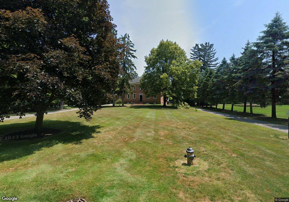
4544 Brookside Rd Ottawa Hills, OH 43615
Estimated Value: $697,419 - $931,000
5
Beds
5
Baths
3,536
Sq Ft
$231/Sq Ft
Est. Value
About This Home
This home is located at 4544 Brookside Rd, Ottawa Hills, OH 43615 and is currently estimated at $815,473, approximately $230 per square foot. 4544 Brookside Rd is a home located in Lucas County with nearby schools including Ottawa Hills Elementary School, Ottawa Hills High School, and Christ The King School.
Ownership History
Date
Name
Owned For
Owner Type
Purchase Details
Closed on
Jan 6, 2021
Sold by
Finkel Judith P and Finkel Robert I
Bought by
Judith P Finkel And Robert I Finkel Trust and Finkel
Current Estimated Value
Home Financials for this Owner
Home Financials are based on the most recent Mortgage that was taken out on this home.
Original Mortgage
$200,000
Outstanding Balance
$141,747
Interest Rate
2.26%
Mortgage Type
New Conventional
Estimated Equity
$673,726
Purchase Details
Closed on
Jan 22, 2008
Sold by
Finkel Judith P
Bought by
Finkel Judith P and Finkel Robert I
Create a Home Valuation Report for This Property
The Home Valuation Report is an in-depth analysis detailing your home's value as well as a comparison with similar homes in the area
Home Values in the Area
Average Home Value in this Area
Purchase History
| Date | Buyer | Sale Price | Title Company |
|---|---|---|---|
| Judith P Finkel And Robert I Finkel Trust | -- | None Listed On Document | |
| Finkel Robert I | -- | None Listed On Document | |
| Finkel Judith P | -- | Attorney |
Source: Public Records
Mortgage History
| Date | Status | Borrower | Loan Amount |
|---|---|---|---|
| Open | Finkel Robert I | $200,000 |
Source: Public Records
Tax History
| Year | Tax Paid | Tax Assessment Tax Assessment Total Assessment is a certain percentage of the fair market value that is determined by local assessors to be the total taxable value of land and additions on the property. | Land | Improvement |
|---|---|---|---|---|
| 2025 | -- | $275,065 | $70,630 | $204,435 |
| 2024 | $11,583 | $275,065 | $70,630 | $204,435 |
| 2023 | $16,821 | $184,940 | $51,345 | $133,595 |
| 2022 | $17,027 | $184,940 | $51,345 | $133,595 |
| 2021 | $17,255 | $184,940 | $51,345 | $133,595 |
| 2020 | $18,568 | $179,480 | $49,700 | $129,780 |
| 2019 | $16,865 | $179,480 | $49,700 | $129,780 |
| 2018 | $17,209 | $179,480 | $49,700 | $129,780 |
| 2017 | $17,624 | $176,365 | $46,900 | $129,465 |
| 2016 | $17,542 | $503,900 | $134,000 | $369,900 |
| 2015 | $17,610 | $503,900 | $134,000 | $369,900 |
| 2014 | $25,792 | $176,370 | $46,900 | $129,470 |
| 2013 | $17,194 | $176,370 | $46,900 | $129,470 |
Source: Public Records
Map
Nearby Homes
- 2548 Talmadge Rd
- 2442 Brookview Dr
- 4309 Brookside Rd
- 15 Stableside N
- 5444 N Citation Rd
- 3 Stableside S
- 4104 Brookside Rd
- 2949 Secretariat Rd
- 4028 Brookside Rd
- 5212 Regency Dr Unit C
- 3521 Southpoint Rd
- 4705 W Bancroft St
- 4519 W Bancroft St Unit 39
- 4923 Cranston Dr
- 4343 W Bancroft St
- 4343 W Bancroft St Unit 3l
- 4343 W Bancroft St Unit 2k
- 4521 W Bancroft St Unit 42
- 4515 W Bancroft St Unit 28
- 2904 Isha Laye Way
- 4540 Brookside Rd
- 4550 Brookside Rd
- 4435 Miner Rd
- 2841 Westchester Rd
- 4545 Brookside Rd
- 4530 Brookside Rd
- 2829 Westchester Rd
- 4417 Miner Rd
- 2817 Westchester Rd
- 4600 Brookside Rd
- 4436 Miner Rd
- 4520 Brookside Rd
- 4535 Brookside Rd
- 4404 Miner Rd
- 2805 Westchester Rd
- 4603 Brookside Rd
- 4400 Miner Rd
- 2909 Valley View Dr
- 2866 Falmouth Rd
- 2830 Westchester Rd
Your Personal Tour Guide
Ask me questions while you tour the home.