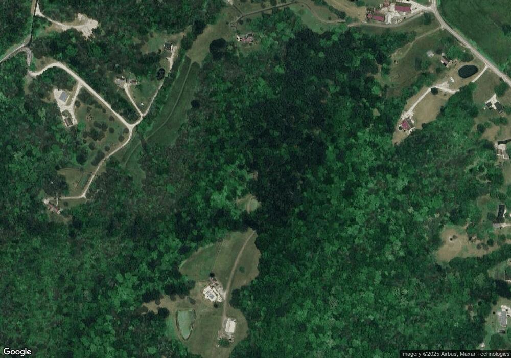
4544 Messmore Ln Lawrenceburg, IN 47025
Estimated Value: $410,000 - $592,614
3
Beds
3
Baths
2,539
Sq Ft
$189/Sq Ft
Est. Value
About This Home
This home is located at 4544 Messmore Ln, Lawrenceburg, IN 47025 and is currently estimated at $479,871, approximately $189 per square foot. 4544 Messmore Ln is a home located in Dearborn County with nearby schools including East Central High School.
Ownership History
Date
Name
Owned For
Owner Type
Purchase Details
Closed on
Jul 10, 2025
Sold by
Schmitt Lewis Frank and Schmitt Fay Lenora
Bought by
Lewis F Schmitt Sr Revocable Living Trust and Schmitt
Current Estimated Value
Purchase Details
Closed on
May 8, 2009
Sold by
Schmitt Fay Lenora and Schmitt Lewis Frank
Bought by
Clements Adam Scott
Purchase Details
Closed on
Oct 3, 2008
Sold by
Sullivan Jeffrey
Bought by
Schmitt Lewis Frank and Schmitt Fay Lenora
Create a Home Valuation Report for This Property
The Home Valuation Report is an in-depth analysis detailing your home's value as well as a comparison with similar homes in the area
Home Values in the Area
Average Home Value in this Area
Purchase History
| Date | Buyer | Sale Price | Title Company |
|---|---|---|---|
| Lewis F Schmitt Sr Revocable Living Trust | -- | None Listed On Document | |
| Clements Adam Scott | -- | -- | |
| Schmitt Lewis Frank | $17,500 | -- |
Source: Public Records
Tax History Compared to Growth
Tax History
| Year | Tax Paid | Tax Assessment Tax Assessment Total Assessment is a certain percentage of the fair market value that is determined by local assessors to be the total taxable value of land and additions on the property. | Land | Improvement |
|---|---|---|---|---|
| 2024 | $3,336 | $327,700 | $45,800 | $281,900 |
| 2023 | $3,892 | $331,700 | $43,500 | $288,200 |
| 2022 | $4,141 | $343,600 | $41,000 | $302,600 |
| 2021 | $3,907 | $316,500 | $39,800 | $276,700 |
| 2020 | $3,912 | $321,400 | $39,700 | $281,700 |
| 2019 | $3,990 | $325,100 | $41,300 | $283,800 |
| 2018 | $3,331 | $280,400 | $41,600 | $238,800 |
| 2017 | $3,379 | $276,300 | $43,000 | $233,300 |
| 2016 | $3,366 | $280,700 | $43,700 | $237,000 |
| 2014 | $3,422 | $281,600 | $44,200 | $237,400 |
| 2013 | $3,422 | $271,600 | $42,500 | $229,100 |
Source: Public Records
Map
Nearby Homes
- 0 Inghams Mill Ln Unit 205574
- 21563 Fox Rd
- 18778 Keller Rd
- 2082 Morningside Dr
- 0 Bellemeade Dr
- 20912 Bellemeade Dr
- 21261 Bellemeade Dr
- 0 Ridgewood Cir Unit 202961
- 0 Timberline Trail Unit 198823
- 0-0 Fox Ridge Rd
- 20551 Heather Ct
- 2504 Cove Cir W
- 2458 Cedar Cliff Dr
- 1753 Cove Cir E
- 1613 Greenlawn Way
- 0 Matterhorn Dr Unit 1856886
- 0 Matterhorn Dr Unit 206036
- 20422 Matterhorn Dr
- 20072 Cravenhurst Dr
- 20342 Matterhorn Dr
- 4374 Messmore Ln
- 20767 Mount Pleasant Rd
- 21092 Mello Ln
- 20720 State Route 1
- 21151 Mello Ln
- 6 Mello Ln
- 1 Mello Ln
- 4678 Taylor Run Ln
- 21179 Mount Pleasant Rd
- 0 Mello Ln Unit 5 1414809
- 0 Mello Ln Unit 281677
- 20869 Mount Pleasant Rd
- 20673 Mount Pleasant Rd
- 20913 Mount Pleasant Rd
- 20803 Mount Pleasant Rd
- 20623 Mount Pleasant Rd
- 20825 Mount Pleasant Rd
- 20949 Mount Pleasant Rd
- 4604 Taylor Run Ln
- 20554 State Route 1
