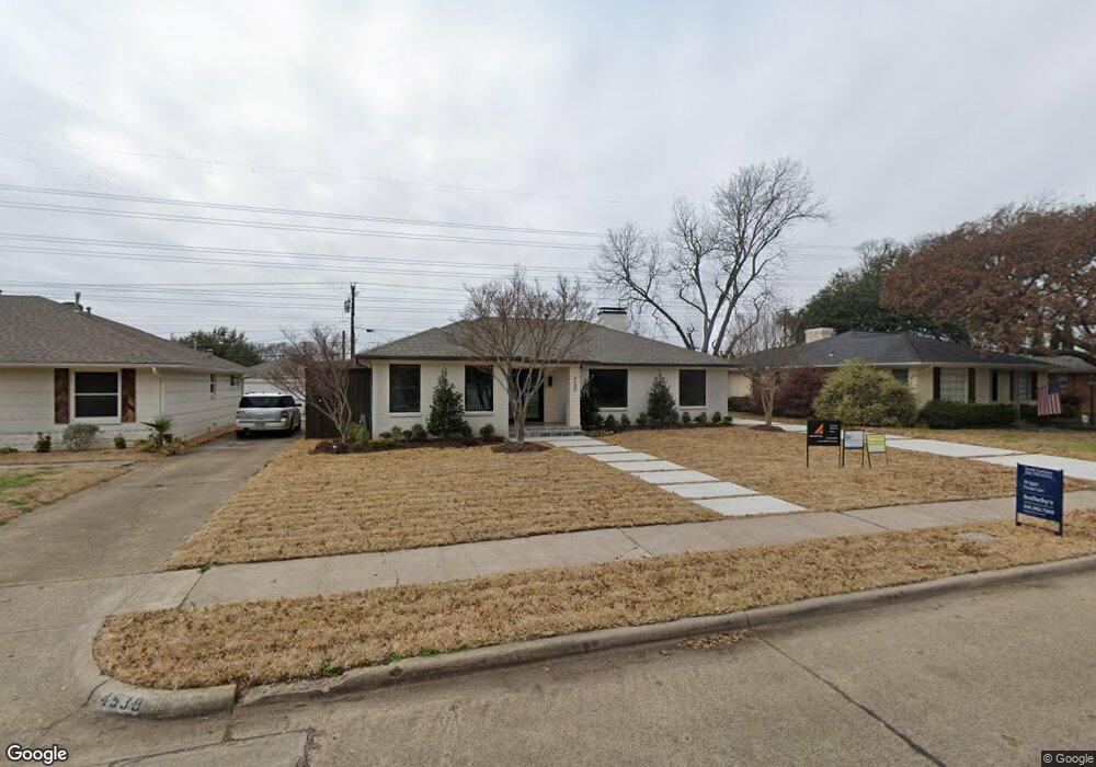
4545 Ashford Dr Dallas, TX 75214
Northeast Dallas NeighborhoodEstimated Value: $766,000 - $956,000
3
Beds
4
Baths
1,857
Sq Ft
$450/Sq Ft
Est. Value
About This Home
This home is located at 4545 Ashford Dr, Dallas, TX 75214 and is currently estimated at $834,987, approximately $449 per square foot. 4545 Ashford Dr is a home located in Dallas County with nearby schools including Lakewood Elementary School, J L Long Middle School, and Woodrow Wilson High School.
Ownership History
Date
Name
Owned For
Owner Type
Purchase Details
Closed on
Mar 14, 2019
Sold by
A & A Residential Design Llc
Bought by
Price Thomas Clark and Clemons Laura Family
Current Estimated Value
Home Financials for this Owner
Home Financials are based on the most recent Mortgage that was taken out on this home.
Original Mortgage
$496,000
Outstanding Balance
$436,068
Interest Rate
4.4%
Mortgage Type
Purchase Money Mortgage
Estimated Equity
$398,919
Purchase Details
Closed on
Jan 15, 1998
Sold by
Hfs Mobility Real Property Services Corp
Bought by
Homerstad Donald M and Homerstad Dorothy L
Purchase Details
Closed on
Aug 27, 1993
Sold by
Clark Allan Q
Bought by
Matthews Stephen M and Matthews Melinda T
Home Financials for this Owner
Home Financials are based on the most recent Mortgage that was taken out on this home.
Original Mortgage
$97,129
Interest Rate
7.23%
Mortgage Type
FHA
Create a Home Valuation Report for This Property
The Home Valuation Report is an in-depth analysis detailing your home's value as well as a comparison with similar homes in the area
Home Values in the Area
Average Home Value in this Area
Purchase History
| Date | Buyer | Sale Price | Title Company |
|---|---|---|---|
| Price Thomas Clark | -- | Republic Title Of Texas | |
| Homerstad Donald M | -- | -- | |
| Homerstad Donald M | -- | -- | |
| Matthews Stephen M | -- | -- |
Source: Public Records
Mortgage History
| Date | Status | Borrower | Loan Amount |
|---|---|---|---|
| Open | Price Thomas Clark | $496,000 | |
| Previous Owner | Matthews Stephen M | $97,129 |
Source: Public Records
Tax History Compared to Growth
Tax History
| Year | Tax Paid | Tax Assessment Tax Assessment Total Assessment is a certain percentage of the fair market value that is determined by local assessors to be the total taxable value of land and additions on the property. | Land | Improvement |
|---|---|---|---|---|
| 2025 | $10,586 | $769,970 | $445,950 | $324,020 |
| 2024 | $10,586 | $709,650 | $300,000 | $409,650 |
| 2023 | $10,586 | $557,840 | $300,000 | $257,840 |
| 2022 | $13,948 | $557,840 | $300,000 | $257,840 |
| 2021 | $15,204 | $576,340 | $200,000 | $376,340 |
| 2020 | $16,820 | $620,000 | $200,000 | $420,000 |
| 2019 | $16,548 | $581,600 | $200,000 | $381,600 |
| 2018 | $10,465 | $384,840 | $200,000 | $184,840 |
| 2017 | $7,478 | $275,000 | $200,000 | $75,000 |
| 2016 | $7,478 | $275,000 | $200,000 | $75,000 |
| 2015 | $2,277 | $235,550 | $100,000 | $135,550 |
| 2014 | $2,277 | $229,410 | $100,000 | $129,410 |
Source: Public Records
Map
Nearby Homes
- 6537 Patrick Dr
- 6529 Trammel Dr
- 6711 Vada Dr
- 6446 Lange Cir
- 6459 Trammel Dr
- 4323 Ashford Dr
- 6720 Braeburn Dr
- 6802 Vada Dr
- 6746 Braeburn Dr
- 6527 Axton Cir
- 6474 Sudbury Dr
- 6644 Santa Anita Dr
- 6415 Axton Ln
- 6529 Saint Moritz Ave
- 6660 Santa Anita Dr
- 6811 Patrick Dr
- 6665 Santa Anita Dr
- 6923 Inverness Ln
- 6612 E Mockingbird Ln
- 6431 Dunstan Ln
- 4539 Ashford Dr
- 4551 Ashford Dr
- 4533 Ashford Dr
- 4557 Ashford Dr
- 6508 Prince St
- 4505 Saint Landry Dr
- 4527 Ashford Dr
- 6516 Prince St
- 4563 Ashford Dr
- 4517 Saint Landry Dr
- 6522 Prince St
- 4521 Ashford Dr
- 6527 Lange Cir
- 4569 Ashford Dr
- 6503 Prince St
- 6509 Prince St
- 6533 Lange Cir
- 6530 Prince St
- 6515 Prince St
- 4515 Ashford Dr