4547 Mccord St Springfield, OH 45503
Estimated Value: $353,246 - $449,000
3
Beds
3
Baths
2,093
Sq Ft
$196/Sq Ft
Est. Value
About This Home
This home is located at 4547 Mccord St, Springfield, OH 45503 and is currently estimated at $410,062, approximately $195 per square foot. 4547 Mccord St is a home located in Clark County with nearby schools including Northridge Elementary School, Kenton Ridge Middle & High School, and Emmanuel Christian Academy.
Ownership History
Date
Name
Owned For
Owner Type
Purchase Details
Closed on
Aug 17, 2006
Sold by
Hoppes Builders & Development Co
Bought by
Smith Brian A and Smith Andrea L
Current Estimated Value
Home Financials for this Owner
Home Financials are based on the most recent Mortgage that was taken out on this home.
Original Mortgage
$208,800
Outstanding Balance
$123,878
Interest Rate
6.83%
Mortgage Type
Purchase Money Mortgage
Estimated Equity
$286,184
Create a Home Valuation Report for This Property
The Home Valuation Report is an in-depth analysis detailing your home's value as well as a comparison with similar homes in the area
Home Values in the Area
Average Home Value in this Area
Purchase History
| Date | Buyer | Sale Price | Title Company |
|---|---|---|---|
| Smith Brian A | $261,000 | None Available |
Source: Public Records
Mortgage History
| Date | Status | Borrower | Loan Amount |
|---|---|---|---|
| Open | Smith Brian A | $208,800 |
Source: Public Records
Tax History Compared to Growth
Tax History
| Year | Tax Paid | Tax Assessment Tax Assessment Total Assessment is a certain percentage of the fair market value that is determined by local assessors to be the total taxable value of land and additions on the property. | Land | Improvement |
|---|---|---|---|---|
| 2025 | $4,169 | $124,390 | $27,780 | $96,610 |
| 2024 | $4,032 | $95,340 | $20,490 | $74,850 |
| 2023 | $4,032 | $95,340 | $20,490 | $74,850 |
| 2022 | $4,047 | $95,340 | $20,490 | $74,850 |
| 2021 | $4,117 | $82,210 | $16,000 | $66,210 |
| 2020 | $4,121 | $82,210 | $16,000 | $66,210 |
| 2019 | $4,199 | $82,210 | $16,000 | $66,210 |
| 2018 | $4,132 | $77,610 | $12,170 | $65,440 |
| 2017 | $3,541 | $76,360 | $12,173 | $64,187 |
| 2016 | $3,516 | $76,360 | $12,173 | $64,187 |
| 2015 | $3,504 | $75,779 | $11,592 | $64,187 |
| 2014 | $3,504 | $75,779 | $11,592 | $64,187 |
| 2013 | $3,423 | $75,779 | $11,592 | $64,187 |
Source: Public Records
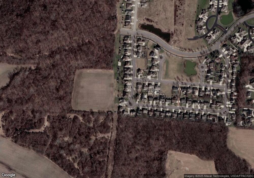
Map
Nearby Homes
- 593 Hiser Ave
- 862 Brendle Trace Unit 20
- 4455 Derr Rd
- 1033 Westmont Cir
- 0 Moorefield Rd
- 1162 Kingsgate Rd
- 4446 Ridgewood Rd E Unit 3
- 5249 Taywell Dr
- 1327 Kingsgate Rd
- 1709 Thomas Dr
- 5220 Ridgewood Rd E
- 1149 Foxboro Rd
- 1500 Kingsgate Rd
- 1502 Kingsgate Rd
- 1500 Kingsgate Rd Unit 19430
- 1502 Kingsgate Rd Unit 19432
- 1509 Kingsgate Rd
- 3631 Kingsgate Ln
- 1501 Kingsgate Rd
- 1503 Kingsgate Rd
- 4565 Mccord St
- 4529 Mccord St
- 4583 Mccord St
- 4511 Mccord St
- 577 Hiser Ave
- 4520 Mccord St
- 4601 Mccord St
- 4493 Mccord St
- 4594 Mccord St
- 592 Donnelly Ave
- 4619 Mccord St
- 553 Donnelly Ave
- 569 Donnelly Ave
- 609 Hiser Ave
- 4612 Mccord St
- 608 Donnelly Ave
- 585 Donnelly Ave
- 4637 Mccord St
- 4593 Antrim Ln
- 601 Donnelly Ave