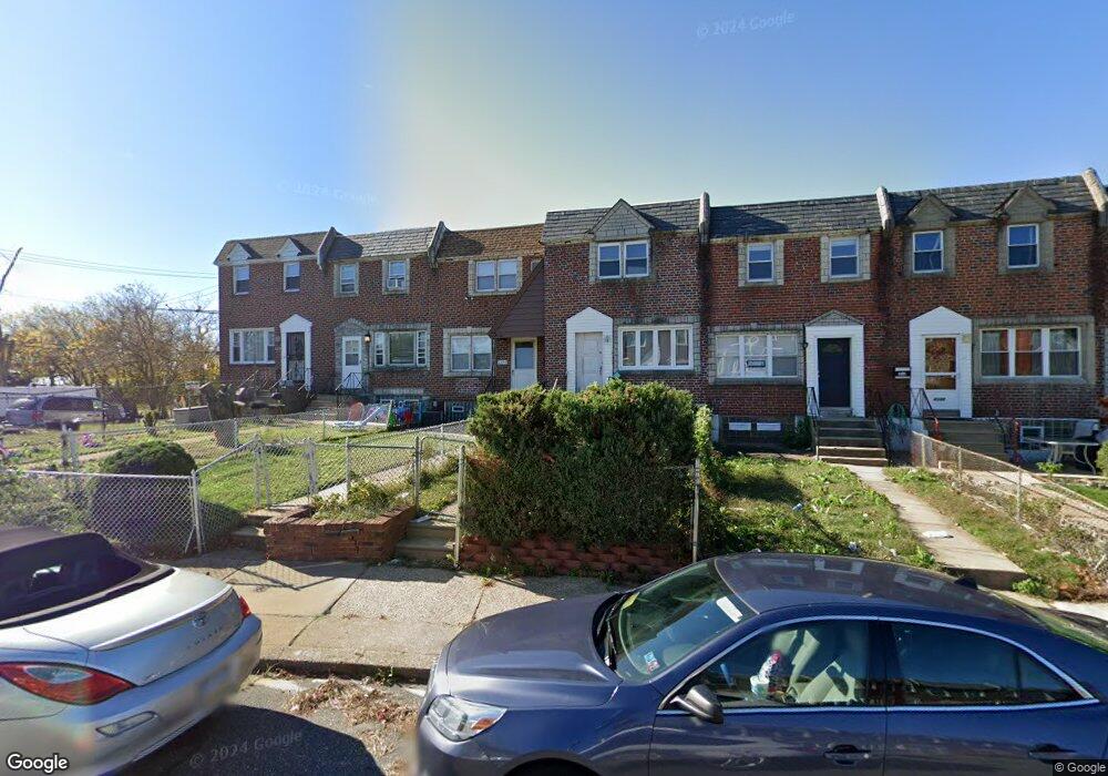
4548 Tolbut St Philadelphia, PA 19136
Holmesburg NeighborhoodEstimated Value: $241,000 - $254,000
3
Beds
1
Bath
1,120
Sq Ft
$222/Sq Ft
Est. Value
About This Home
This home is located at 4548 Tolbut St, Philadelphia, PA 19136 and is currently estimated at $248,226, approximately $221 per square foot. 4548 Tolbut St is a home located in Philadelphia County with nearby schools including Thomas Holme School, Lincoln High School, and Meehan Austin Middle School.
Ownership History
Date
Name
Owned For
Owner Type
Purchase Details
Closed on
Sep 10, 2002
Sold by
Fishman Reide
Bought by
Brisbane Torey C
Current Estimated Value
Purchase Details
Closed on
Jun 15, 1999
Sold by
Spectrum Investment Group
Bought by
Fishman Reide
Purchase Details
Closed on
Nov 27, 1998
Sold by
Mannices George Francis and Mannices Robert John
Bought by
Spectrum Investment Group
Create a Home Valuation Report for This Property
The Home Valuation Report is an in-depth analysis detailing your home's value as well as a comparison with similar homes in the area
Home Values in the Area
Average Home Value in this Area
Purchase History
| Date | Buyer | Sale Price | Title Company |
|---|---|---|---|
| Brisbane Torey C | $55,500 | -- | |
| Fishman Reide | $45,400 | Lawyers Title Insurance Co | |
| Spectrum Investment Group | $33,000 | Lawyers Title Insurance Co |
Source: Public Records
Tax History Compared to Growth
Tax History
| Year | Tax Paid | Tax Assessment Tax Assessment Total Assessment is a certain percentage of the fair market value that is determined by local assessors to be the total taxable value of land and additions on the property. | Land | Improvement |
|---|---|---|---|---|
| 2025 | $2,511 | $223,100 | $44,620 | $178,480 |
| 2024 | $2,511 | $223,100 | $44,620 | $178,480 |
| 2023 | $2,511 | $179,400 | $35,880 | $143,520 |
| 2022 | $2,048 | $179,400 | $35,880 | $143,520 |
| 2021 | $2,048 | $0 | $0 | $0 |
| 2020 | $2,048 | $0 | $0 | $0 |
| 2019 | $1,929 | $0 | $0 | $0 |
| 2018 | $1,685 | $0 | $0 | $0 |
| 2017 | $1,685 | $0 | $0 | $0 |
| 2016 | $1,685 | $0 | $0 | $0 |
| 2015 | $1,613 | $0 | $0 | $0 |
| 2014 | -- | $120,400 | $34,454 | $85,946 |
| 2012 | -- | $14,112 | $1,451 | $12,661 |
Source: Public Records
Map
Nearby Homes
- 4538 Carwithan St
- 4501 Aberdale Rd
- 8820 Cottage St
- 9176 Frankford Ave
- 8605 Ditman St
- 4625 Strahle St
- 4528 Strahle St
- 8542 Torresdale Ave
- 9246 Edmund St
- 9321 Jackson St
- 4505 Blakiston St
- 9321 Walker St
- 4529 Pearson Ave
- 8419 Jackson St
- 3264 Fordham Rd
- 9216 Melrose St
- 4709 Ashburner St
- 9401 Tulip St
- 9202 Treaty Rd
- 9301 State Rd