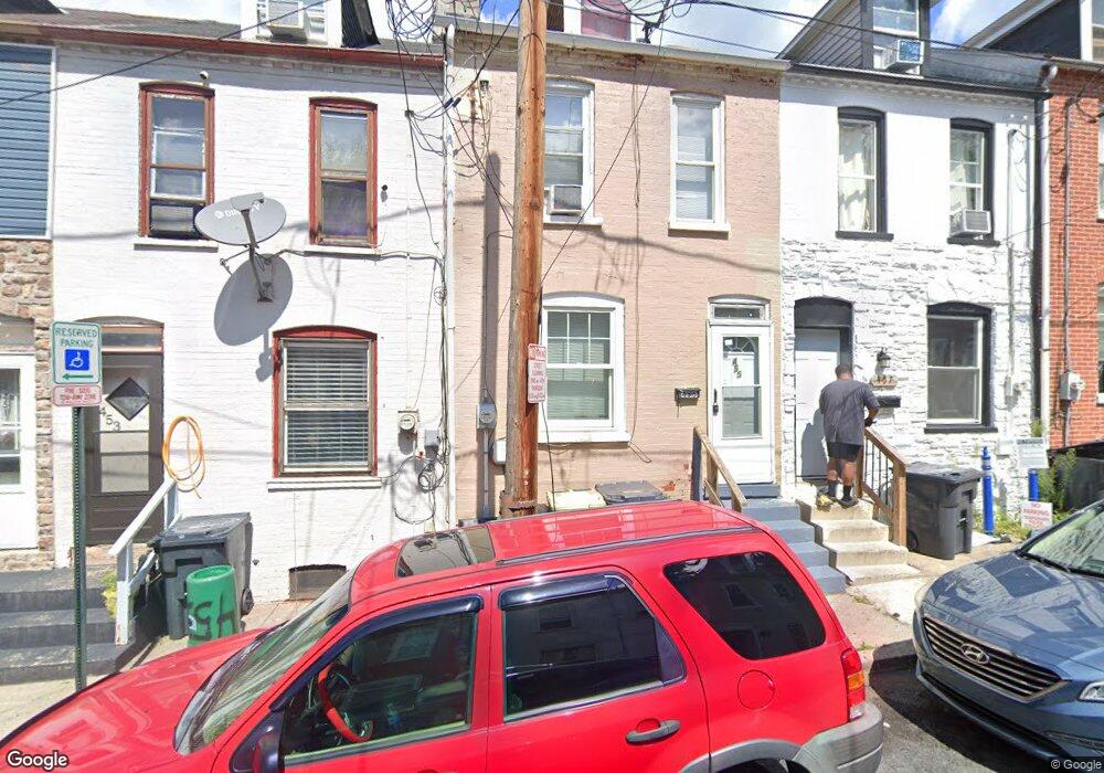
455 Atlantic Ave Lancaster, PA 17602
Churchtowne NeighborhoodEstimated Value: $144,433 - $164,000
4
Beds
1
Bath
1,016
Sq Ft
$151/Sq Ft
Est. Value
About This Home
This home is located at 455 Atlantic Ave, Lancaster, PA 17602 and is currently estimated at $153,858, approximately $151 per square foot. 455 Atlantic Ave is a home located in Lancaster County with nearby schools including Carter & MacRae Elementary School, Reynolds Middle School, and McCaskey High School.
Ownership History
Date
Name
Owned For
Owner Type
Purchase Details
Closed on
Aug 22, 2006
Sold by
Monge Linda L
Bought by
Jackson David D
Current Estimated Value
Home Financials for this Owner
Home Financials are based on the most recent Mortgage that was taken out on this home.
Original Mortgage
$24,225
Outstanding Balance
$14,568
Interest Rate
6.79%
Mortgage Type
Purchase Money Mortgage
Estimated Equity
$139,290
Purchase Details
Closed on
Dec 28, 1999
Sold by
Ocwen Federal Bank
Bought by
Marietta House Inc
Purchase Details
Closed on
Dec 27, 1999
Sold by
Marietta House
Bought by
Monge Linda L
Purchase Details
Closed on
Sep 2, 1999
Sold by
Carroll John T and Krasny Marvin
Bought by
Ocwen Federal Bank
Create a Home Valuation Report for This Property
The Home Valuation Report is an in-depth analysis detailing your home's value as well as a comparison with similar homes in the area
Home Values in the Area
Average Home Value in this Area
Purchase History
| Date | Buyer | Sale Price | Title Company |
|---|---|---|---|
| Jackson David D | $28,500 | None Available | |
| Marietta House Inc | $7,000 | -- | |
| Monge Linda L | $7,000 | -- | |
| Ocwen Federal Bank | -- | -- |
Source: Public Records
Mortgage History
| Date | Status | Borrower | Loan Amount |
|---|---|---|---|
| Open | Jackson David D | $24,225 |
Source: Public Records
Tax History Compared to Growth
Tax History
| Year | Tax Paid | Tax Assessment Tax Assessment Total Assessment is a certain percentage of the fair market value that is determined by local assessors to be the total taxable value of land and additions on the property. | Land | Improvement |
|---|---|---|---|---|
| 2025 | $1,484 | $37,500 | $4,900 | $32,600 |
| 2024 | $1,484 | $37,500 | $4,900 | $32,600 |
| 2023 | $1,459 | $37,500 | $4,900 | $32,600 |
| 2022 | $1,398 | $37,500 | $4,900 | $32,600 |
| 2021 | $1,368 | $37,500 | $4,900 | $32,600 |
| 2020 | $1,368 | $37,500 | $4,900 | $32,600 |
| 2019 | $1,348 | $37,500 | $4,900 | $32,600 |
| 2018 | $800 | $37,500 | $4,900 | $32,600 |
| 2017 | $1,677 | $36,500 | $5,100 | $31,400 |
| 2016 | $1,661 | $36,500 | $5,100 | $31,400 |
| 2015 | $648 | $36,500 | $5,100 | $31,400 |
| 2014 | $1,450 | $36,500 | $5,100 | $31,400 |
Source: Public Records
Map
Nearby Homes
- 462 S Christian St
- 507 Locust St
- 536 Woodward St
- 513 Howard Ave
- 520 S Duke St
- 555 Woodward St
- 567 S Christian St
- 459 S Queen St
- 518 Green St
- 14 E Farnum St
- 316 Beaver St
- 341 S Prince St
- 506 Beaver St
- 348 S Prince St
- 346 S Prince St
- 530 S Lime St
- 561 S Lime St
- 543 S Prince St
- 641 S Queen St
- 54 Green St
- 459 Atlantic Ave
- 461 Atlantic Ave
- 457 Atlantic Ave
- 463 Atlantic Ave
- 465 Atlantic Ave
- 453 Atlantic Ave
- 467 Atlantic Ave
- 451 Atlantic Ave
- 469 Atlantic Ave
- 449 Atlantic Ave
- 512 Chester St
- 507 North St
- 471 Atlantic Ave
- 447 Atlantic Ave
- 510 Chester St
- 445 Atlantic Ave
- 473 Atlantic Ave
- 460 Atlantic Ave
- 458 Atlantic Ave
- 462 Atlantic Ave