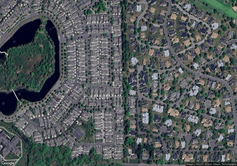
455 Bluebird Dr Monroe Township, NJ 08831
Estimated Value: $415,938 - $450,000
--
Bed
--
Bath
1,620
Sq Ft
$263/Sq Ft
Est. Value
About This Home
This home is located at 455 Bluebird Dr, Monroe Township, NJ 08831 and is currently estimated at $426,235, approximately $263 per square foot. 455 Bluebird Dr is a home located in Middlesex County with nearby schools including Oak Tree Elementary School, Monroe Township Middle School, and Monroe Township High School.
Ownership History
Date
Name
Owned For
Owner Type
Purchase Details
Closed on
Nov 24, 2022
Sold by
Perlman Stanley G and Perlman Gail A
Bought by
Perlman Stanley G
Current Estimated Value
Purchase Details
Closed on
Oct 28, 1998
Sold by
Lifestyle Pulte
Bought by
Perlman Gail
Home Financials for this Owner
Home Financials are based on the most recent Mortgage that was taken out on this home.
Original Mortgage
$85,000
Interest Rate
6.68%
Create a Home Valuation Report for This Property
The Home Valuation Report is an in-depth analysis detailing your home's value as well as a comparison with similar homes in the area
Home Values in the Area
Average Home Value in this Area
Purchase History
| Date | Buyer | Sale Price | Title Company |
|---|---|---|---|
| Perlman Stanley G | -- | -- | |
| Perlman Stanley G | -- | None Listed On Document | |
| Perlman Gail | $3,017,746 | -- |
Source: Public Records
Mortgage History
| Date | Status | Borrower | Loan Amount |
|---|---|---|---|
| Previous Owner | Perlman Gail | $85,000 |
Source: Public Records
Tax History Compared to Growth
Tax History
| Year | Tax Paid | Tax Assessment Tax Assessment Total Assessment is a certain percentage of the fair market value that is determined by local assessors to be the total taxable value of land and additions on the property. | Land | Improvement |
|---|---|---|---|---|
| 2025 | $4,728 | $168,200 | $65,000 | $103,200 |
| 2024 | $4,563 | $168,200 | $65,000 | $103,200 |
| 2023 | $4,563 | $168,200 | $65,000 | $103,200 |
| 2022 | $4,486 | $168,200 | $65,000 | $103,200 |
| 2021 | $2,843 | $168,200 | $65,000 | $103,200 |
| 2020 | $4,471 | $168,200 | $65,000 | $103,200 |
| 2019 | $4,370 | $168,200 | $65,000 | $103,200 |
| 2018 | $4,336 | $168,200 | $65,000 | $103,200 |
| 2017 | $4,269 | $168,200 | $65,000 | $103,200 |
| 2016 | $4,205 | $168,200 | $65,000 | $103,200 |
| 2015 | $4,104 | $168,200 | $65,000 | $103,200 |
| 2014 | $3,966 | $168,200 | $65,000 | $103,200 |
Source: Public Records
Map
Nearby Homes
- 16 James Buchanan Dr
- 15 James Buchanan Dr Unit B
- 20 John Hancock Dr
- 3 William Harrison Dr Unit A
- 13 John Hancock Dr
- 86 Union Valley Rd
- 8A Ethan Allen Dr Unit A
- 15 Dolley Madison Dr Unit A
- 409 Harrier Dr Unit 409 H
- 10B Andrew Johnson Dr Unit D
- 343 Harrier Dr
- 29 Hillsborough Dr Unit B
- 32 Edinburgh Dr Unit D
- 35D Edinburgh Dr
- 29B Hillsborough Dr
- 249 Nighthawk Dr
- 110 Waterside Blvd
- 284 Mockingbird Dr
- 31 Ingram Dr
- 134 Blackbird Dr
- 456 Bluebird Dr
- 454 Bluebird Dr
- 453 Bluebird Dr
- 452 Bluebird Dr
- 458 Bluebird Dr
- 457 Bluebird Dr
- 459 Bluebird Dr
- 460 Bluebird Dr
- 461 Bluebird Dr
- 16C James Buchanan Dr
- 16B James Buchanan Dr
- 16A James Buchanan Dr
- 16G James Buchanan Dr Unit G
- 16F James Buchanan Dr
- 462 Bluebird Dr
- 662 Bluebird Dr
- 661 Bluebird Dr
- 16E James Buchanan Dr
- 16D James Buchanan Dr
- 660 Bluebird Dr
