455 Crab Apple Ln Moorefield, WV 26836
Estimated Value: $210,766 - $363,000
--
Bed
2
Baths
1,620
Sq Ft
$163/Sq Ft
Est. Value
About This Home
This home is located at 455 Crab Apple Ln, Moorefield, WV 26836 and is currently estimated at $264,255, approximately $163 per square foot. 455 Crab Apple Ln is a home located in Hardy County with nearby schools including Moorefield Elementary School, Moorefield Intermediate School, and Moorefield Middle School.
Ownership History
Date
Name
Owned For
Owner Type
Purchase Details
Closed on
Apr 18, 2012
Sold by
Parson Barbara and Reynolds Charles L
Bought by
Alger Vicky and Kerns Christopher D
Current Estimated Value
Home Financials for this Owner
Home Financials are based on the most recent Mortgage that was taken out on this home.
Original Mortgage
$126,298
Outstanding Balance
$51,552
Interest Rate
3.88%
Mortgage Type
New Conventional
Estimated Equity
$212,703
Create a Home Valuation Report for This Property
The Home Valuation Report is an in-depth analysis detailing your home's value as well as a comparison with similar homes in the area
Home Values in the Area
Average Home Value in this Area
Purchase History
| Date | Buyer | Sale Price | Title Company |
|---|---|---|---|
| Alger Vicky | $35,900 | Cartret Title Llc |
Source: Public Records
Mortgage History
| Date | Status | Borrower | Loan Amount |
|---|---|---|---|
| Open | Alger Vicky | $126,298 |
Source: Public Records
Tax History Compared to Growth
Tax History
| Year | Tax Paid | Tax Assessment Tax Assessment Total Assessment is a certain percentage of the fair market value that is determined by local assessors to be the total taxable value of land and additions on the property. | Land | Improvement |
|---|---|---|---|---|
| 2025 | $570 | $74,100 | $16,080 | $58,020 |
| 2024 | $555 | $72,120 | $16,080 | $56,040 |
| 2023 | $556 | $72,000 | $16,080 | $55,920 |
| 2022 | $548 | $70,440 | $16,080 | $54,360 |
| 2021 | $533 | $68,400 | $16,080 | $52,320 |
| 2020 | $518 | $66,840 | $16,080 | $50,760 |
| 2019 | $522 | $66,840 | $16,080 | $50,760 |
| 2018 | $524 | $67,080 | $16,080 | $51,000 |
| 2017 | $523 | $67,080 | $16,080 | $51,000 |
| 2016 | $526 | $67,020 | $16,020 | $51,000 |
| 2015 | $526 | $67,020 | $16,020 | $51,000 |
| 2014 | $526 | $67,020 | $16,020 | $51,000 |
Source: Public Records
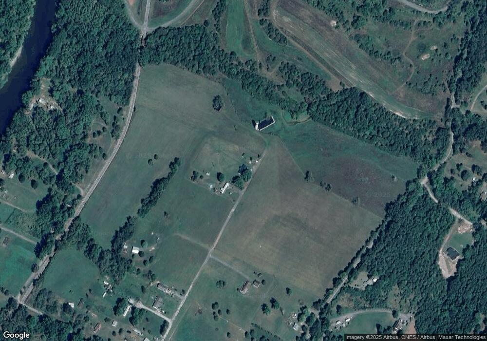
Map
Nearby Homes
- 140 Jacob Dr
- 205 Jacob Dr
- 158 Eastern Dr
- 20.32 AC Trough Rd
- 1602 Walnut Bottom Hideaway
- 502 Evening Sun Dr
- 9.38 Rt 55 E
- 506 Evening St
- 343 Ashton Woods Dr
- 6836 W Virginia 55
- 211 Eisenhower Rd
- 208 N Main St
- 560 Pin Oak Rd
- 122 N Main St
- 1 S Fork Rd
- 149 S Fork Rd
- 101 Burr St
- 117 S Main St
- Lot 3 Clifford Hollow Rd
- 61 Ruckman Rd
- 3579 Us Highway 220 N
- 3931 Route 220
- 4155 Rt 220 Ln N
- 3185 Us Highway 220 N
- 3212 U S Highway 220
- 3185 U S Highway 220
- 196 Dogwood Hollow
- 4233 Route 220
- 220 Orute
- 3104 Us Highway 220 N
- 3104 Us Highway 220 N
- 67 Poor Pear Estate
- 1011 Trough Rd
- 24 River Bridge Ln
- 222 W Poor Pear Estate
- 0 Old River Rd Unit 1006847884
- 0 Old River Rd Unit HD7643256
- 102 River Rd
- 10 River Bridge Ln
- 534 Trough Rd