Estimated Value: $392,000 - $418,000
5
Beds
3
Baths
2,363
Sq Ft
$171/Sq Ft
Est. Value
About This Home
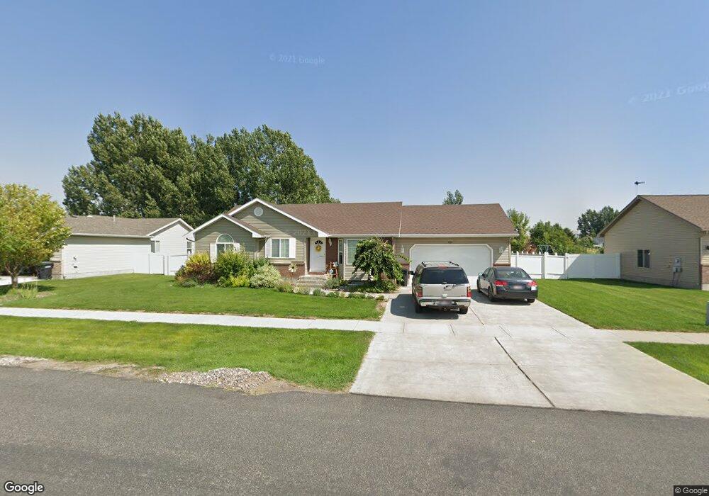
This home is located at 455 Ensign Dr, Ammon, ID 83406 and is currently estimated at $404,351, approximately $171 per square foot. 455 Ensign Dr is a home located in Bonneville County with nearby schools including Hillview Elementary School, Sandcreek Middle School, and Hillcrest High School.
Ownership History
Date
Name
Owned For
Owner Type
Purchase Details
Closed on
May 14, 2015
Sold by
Nielsen Derik M and Nielsen Andrea N
Bought by
Blackburn Jacob and Blackburn Brittany Eva
Current Estimated Value
Home Financials for this Owner
Home Financials are based on the most recent Mortgage that was taken out on this home.
Original Mortgage
$170,848
Outstanding Balance
$130,119
Interest Rate
3.37%
Mortgage Type
FHA
Estimated Equity
$274,232
Purchase Details
Closed on
Aug 9, 2005
Sold by
Johnson Jay W and Johnson Brenda
Bought by
Nielsen Derik M and Nielsen Andrea N
Home Financials for this Owner
Home Financials are based on the most recent Mortgage that was taken out on this home.
Original Mortgage
$126,655
Interest Rate
5.46%
Mortgage Type
New Conventional
Create a Home Valuation Report for This Property
The Home Valuation Report is an in-depth analysis detailing your home's value as well as a comparison with similar homes in the area
Home Values in the Area
Average Home Value in this Area
Purchase History
| Date | Buyer | Sale Price | Title Company |
|---|---|---|---|
| Blackburn Jacob | -- | None Available | |
| Nielsen Derik M | -- | -- |
Source: Public Records
Mortgage History
| Date | Status | Borrower | Loan Amount |
|---|---|---|---|
| Open | Blackburn Jacob | $170,848 | |
| Previous Owner | Nielsen Derik M | $126,655 |
Source: Public Records
Tax History Compared to Growth
Tax History
| Year | Tax Paid | Tax Assessment Tax Assessment Total Assessment is a certain percentage of the fair market value that is determined by local assessors to be the total taxable value of land and additions on the property. | Land | Improvement |
|---|---|---|---|---|
| 2025 | $1,813 | $468,698 | $87,919 | $380,779 |
| 2024 | $1,813 | $484,538 | $87,919 | $396,619 |
| 2023 | $1,669 | $405,760 | $90,180 | $315,580 |
| 2022 | $1,790 | $336,681 | $60,851 | $275,830 |
| 2021 | $1,578 | $251,390 | $55,350 | $196,040 |
| 2019 | $1,587 | $214,576 | $45,056 | $169,520 |
| 2018 | $1,335 | $212,724 | $39,184 | $173,540 |
| 2017 | $1,239 | $182,754 | $25,414 | $157,340 |
| 2016 | $1,182 | $169,441 | $23,051 | $146,390 |
| 2015 | $1,082 | $149,471 | $23,051 | $126,420 |
| 2014 | $18,052 | $149,471 | $23,051 | $126,420 |
| 2013 | -- | $152,131 | $23,051 | $129,080 |
Source: Public Records
Map
Nearby Homes
- 4177 Bracken Way
- 169 Robison Dr
- 255 N Farnsworth Dr
- 273 Creighton Way
- 3935 John Adams Pkwy
- 300 N Farnsworth Dr
- 295 Crimson Dr
- 167 S Heath Ln
- 4370 E Natalie
- 1257 Newgate Dr
- 4420 E Natalie
- 995 Edinburg Cir
- 660 Butterfly Dr
- 635 Butterfly Dr
- 740 Butterfly Dr
- 4125 Lance St
- 755 Kimberly Dr
- 3790 Briar Creek Cir
- 3648 Ellendale Cir
- 3818 Silverwood Cir
- 429 Ensign Dr
- 485 Ensign Dr
- 419 Ensign Dr
- 452 S Wheatfield Ln
- 399 Ensign Dr
- 4208 Bracken Way
- 4201 Rulon Dr
- 515 Ensign Dr
- 480 S Wheatfield Ln
- 329 Bracken Way
- 391 Ensign Dr
- 4200 Bracken Way
- 420 S Wheatfield Ln
- 369 Ensign Dr
- 516 Ensign Dr
- 4186 Bracken Way
- 547 S Ensign Dr
- 4181 Rulon Dr
- 547 Ensign Dr
- 392 S Wheatfield Ln