455 Highway 32 W Ashdown, AR 71822
Estimated Value: $252,000 - $413,000
Studio
2
Baths
2,100
Sq Ft
$155/Sq Ft
Est. Value
About This Home
This home is located at 455 Highway 32 W, Ashdown, AR 71822 and is currently estimated at $326,104, approximately $155 per square foot. 455 Highway 32 W is a home located in Little River County with nearby schools including Ashdown Elementary School, L.F. Henderson Interm. School, and Ashdown Junior High School.
Ownership History
Date
Name
Owned For
Owner Type
Purchase Details
Closed on
Dec 1, 2020
Bought by
Pulliam Trey Q and Pulliam Amanda
Current Estimated Value
Purchase Details
Closed on
Apr 10, 2001
Bought by
Blankenship Billy B and Blankenship Diane
Purchase Details
Closed on
Mar 2, 2001
Bought by
Blankenship Billy C and Blankenship Jody L
Purchase Details
Closed on
Jul 26, 1999
Bought by
Thrash Jodie
Purchase Details
Closed on
Sep 3, 1998
Bought by
Thrash Jodie
Purchase Details
Closed on
Feb 7, 1996
Bought by
Thrash Rodney W and Po Box 1052
Create a Home Valuation Report for This Property
The Home Valuation Report is an in-depth analysis detailing your home's value as well as a comparison with similar homes in the area
Purchase History
We collect this data history from publicly available records. To have your information removed, we recommend requesting removal directly through your county’s website.
| Date | Buyer | Sale Price | Title Company |
|---|---|---|---|
| Pulliam Trey Q | $262,000 | -- | |
| Blankenship Billy B | $120,000 | -- | |
| Blankenship Billy C | $115,000 | -- | |
| Thrash Jodie | -- | -- | |
| Thrash Jodie | -- | -- | |
| Thrash Jodie | $91,500 | -- | |
| Thrash Rodney W | $85,000 | -- |
Source: Public Records
Tax History
| Year | Tax Paid | Tax Assessment Tax Assessment Total Assessment is a certain percentage of the fair market value that is determined by local assessors to be the total taxable value of land and additions on the property. | Land | Improvement |
|---|---|---|---|---|
| 2025 | $892 | $35,600 | $2,450 | $33,150 |
| 2024 | $943 | $35,600 | $2,450 | $33,150 |
| 2023 | $958 | $35,600 | $2,450 | $33,150 |
| 2022 | $947 | $35,600 | $2,450 | $33,150 |
| 2021 | $1,259 | $30,040 | $2,390 | $27,650 |
| 2020 | $884 | $30,040 | $2,390 | $27,650 |
| 2019 | $1,259 | $30,040 | $2,390 | $27,650 |
| 2018 | $658 | $30,040 | $2,390 | $27,650 |
| 2017 | $655 | $30,040 | $2,390 | $27,650 |
| 2016 | $651 | $23,900 | $1,930 | $21,970 |
| 2015 | $651 | $23,900 | $1,930 | $21,970 |
| 2014 | $616 | $23,900 | $1,930 | $21,970 |
Source: Public Records
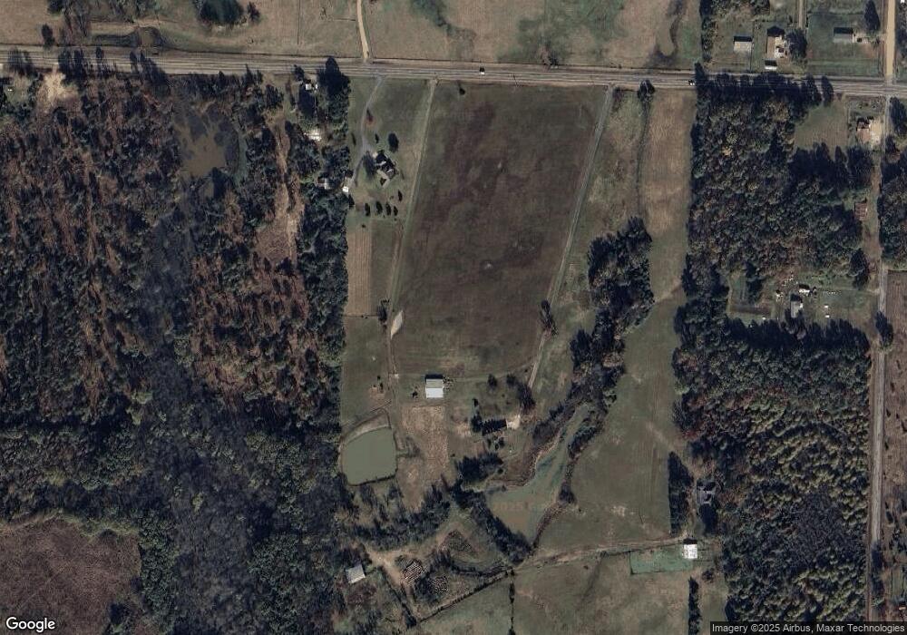
Map
Nearby Homes
- 1249 S 9th St
- 000 Little River 43
- 1241 Grant St
- TBD Lr 183
- 682 U S Highway 71
- 680 U S Highway 71
- 171 N Dupree St
- 1652 N Constitution Ave
- 260 Frankies Ln
- TBD Little River 32
- 1511 Leona Dr
- 1550 Leona Dr
- 1520 Pine Dr
- 1560 Leona Dr
- 1665 Peyton Ave
- 1741 Caddo Cir
- 1771 Caddo Cir
- 2020 Walnut St
- 160 Lr 717
- 1001 Arkansas 108
- 443 Highway 32 W
- 485 Highway 32 W
- 367 Little River 302
- 495 Highway 32 W
- 363 Little River 302
- 344 Little River 302
- 541 Highway 32 W
- 364 Little River 302
- 543 Highway 32 W
- 432 Little River 17
- 407 Highway 32 W
- 399 Highway 32 W
- 395 Highway 32 W
- 365 Little River 302
- 253 Little River 302
- 426 Little River 17
- 590 Highway 32 W
- 611 Highway 32 W
- 604 Highway 32 W
- 420 Little River 17
Your Personal Tour Guide
Ask me questions while you tour the home.