455 Highway 32 W Ashdown, AR 71822
Estimated Value: $209,000 - $326,460
About This Home
This home is located at 455 Highway 32 W, Ashdown, AR 71822 and is currently estimated at $271,365, approximately $129 per square foot. 455 Highway 32 W is a home located in Little River County with nearby schools including Ashdown Elementary School, L.F. Henderson Interm. School, and Ashdown Junior High School.
Ownership History
We collect this data history from publicly available records. To have your information removed, we recommend requesting removal directly through your county’s website.
Purchase Details
Purchase Details
Purchase Details
Purchase Details
Purchase Details
Purchase Details
Purchase History
We collect this data history from publicly available records. To have your information removed, we recommend requesting removal directly through your county’s website.
| Date | Buyer | Sale Price | Title Company |
|---|---|---|---|
| $262,000 | -- | ||
| $120,000 | -- | ||
| $115,000 | -- | ||
| -- | -- | ||
| $91,500 | -- | ||
| -- | -- | ||
| $85,000 | -- |
Tax History
We collect this data history from publicly available records. To have your information removed, we recommend requesting removal directly through your county’s website.
| Year | Tax Paid | Tax Assessment Tax Assessment Total Assessment is a certain percentage of the fair market value that is determined by local assessors to be the total taxable value of land and additions on the property. | Land | Improvement |
|---|---|---|---|---|
| 2025 | $892 | $35,600 | $2,450 | $33,150 |
| 2024 | $943 | $35,600 | $2,450 | $33,150 |
| 2023 | $958 | $35,600 | $2,450 | $33,150 |
| 2022 | $947 | $35,600 | $2,450 | $33,150 |
| 2021 | $1,259 | $30,040 | $2,390 | $27,650 |
| 2020 | $884 | $30,040 | $2,390 | $27,650 |
| 2019 | $1,259 | $30,040 | $2,390 | $27,650 |
| 2018 | $658 | $30,040 | $2,390 | $27,650 |
| 2017 | $655 | $30,040 | $2,390 | $27,650 |
| 2016 | $651 | $23,900 | $1,930 | $21,970 |
| 2015 | $651 | $23,900 | $1,930 | $21,970 |
| 2014 | $616 | $23,900 | $1,930 | $21,970 |
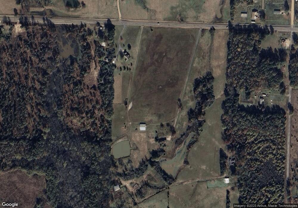
Map
- 1249 S 9th St
- 000 Pine Prairie Rd
- 682 U S Highway 71
- 680 U S Highway 71
- 138
- 121 S Dupree St
- 588 Lr 43
- 171 N Dupree St
- 1652 N Constitution Ave
- 510 Guice Ave
- 1531 Rankin St
- TBD Little River 32
- 1511 Leona Dr
- 1550 Leona Dr
- 1560 Leona Dr
- 1665 Peyton Ave
- 118 Lr 27
- 2020 Walnut St
- 160 Lr 717
- 1875 Belmont Rd
- 443 Highway 32 W
- 485 Highway 32 W
- 367 Little River 302
- 495 Highway 32 W
- 363 Little River 302
- 344 Little River 302
- 541 Highway 32 W
- 364 Little River 302
- 543 Highway 32 W
- 432 Little River 17
- 407 Highway 32 W
- 399 Highway 32 W
- 395 Highway 32 W
- 365 Little River 302
- 253 Little River 302
- 426 Little River 17
- 590 Highway 32 W
- 611 Highway 32 W
- 604 Highway 32 W
- 420 Little River 17
Ask me questions while you tour the home.