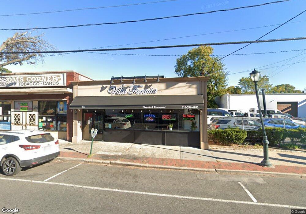
455 Merrick Rd Lynbrook, NY 11563
Estimated Value: $430,646 - $724,000
--
Bed
--
Bath
2,077
Sq Ft
$278/Sq Ft
Est. Value
About This Home
This home is located at 455 Merrick Rd, Lynbrook, NY 11563 and is currently estimated at $577,323, approximately $277 per square foot. 455 Merrick Rd is a home located in Nassau County with nearby schools including Lynbrook Senior High School.
Ownership History
Date
Name
Owned For
Owner Type
Purchase Details
Closed on
Aug 30, 2021
Sold by
Veltri Lynbrook Llc
Bought by
455 Merrick Lynbrook Llc
Current Estimated Value
Purchase Details
Closed on
Dec 1, 2016
Sold by
Marcello Realty Inc
Bought by
Veltri Lynbrook Llc
Home Financials for this Owner
Home Financials are based on the most recent Mortgage that was taken out on this home.
Original Mortgage
$433,000
Interest Rate
3.54%
Mortgage Type
Commercial
Purchase Details
Closed on
Jun 28, 2013
Sold by
Kim Kipong and Kim Yeon Hee
Bought by
Marcello Realty Inc
Purchase Details
Closed on
Feb 10, 2003
Sold by
Demaio Robert
Bought by
Kim Kipong
Purchase Details
Closed on
Jun 23, 1996
Sold by
Demaio Anne M
Bought by
Mccormick Deanna Demaio
Create a Home Valuation Report for This Property
The Home Valuation Report is an in-depth analysis detailing your home's value as well as a comparison with similar homes in the area
Home Values in the Area
Average Home Value in this Area
Purchase History
| Date | Buyer | Sale Price | Title Company |
|---|---|---|---|
| 455 Merrick Lynbrook Llc | $350,000 | First American Title | |
| Veltri Lynbrook Llc | $460,000 | First Nationwide Title Agenc | |
| Marcello Realty Inc | -- | -- | |
| Kim Kipong | $233,000 | -- | |
| Mccormick Deanna Demaio | -- | -- |
Source: Public Records
Mortgage History
| Date | Status | Borrower | Loan Amount |
|---|---|---|---|
| Previous Owner | Veltri Lynbrook Llc | $433,000 |
Source: Public Records
Tax History Compared to Growth
Tax History
| Year | Tax Paid | Tax Assessment Tax Assessment Total Assessment is a certain percentage of the fair market value that is determined by local assessors to be the total taxable value of land and additions on the property. | Land | Improvement |
|---|---|---|---|---|
| 2025 | $16,351 | $2,942 | $936 | $2,006 |
| 2024 | $1,427 | $2,942 | $936 | $2,006 |
| 2023 | $14,660 | $2,942 | $936 | $2,006 |
| 2022 | $14,660 | $2,942 | $936 | $2,006 |
| 2021 | $14,558 | $2,904 | $936 | $1,968 |
| 2020 | $14,558 | $1,937 | $1,173 | $764 |
| 2019 | $1,988 | $1,937 | $1,173 | $764 |
| 2018 | $1,690 | $1,937 | $0 | $0 |
| 2017 | $12,288 | $1,937 | $1,173 | $764 |
| 2016 | $13,853 | $1,937 | $1,173 | $764 |
| 2015 | $1,505 | $1,937 | $1,173 | $764 |
| 2014 | $1,505 | $1,937 | $1,173 | $764 |
| 2013 | $1,359 | $1,937 | $1,173 | $764 |
Source: Public Records
Map
Nearby Homes
- 57 Nieman Ave
- 504 Merrick Rd Unit 4J
- 504 Merrick Rd Unit 4E
- 504 Merrick Rd Unit 2k
- 2 Fowler Ave Unit 206
- 2 Fowler Ave Unit 228
- 20 Daley Place Unit 128
- 30 Daley Place Unit 247
- 20 Daley Place Unit 104
- 20 Daley Place Unit 225
- 20 Daley Place Unit 127
- 232 Sherman St
- 29 Summit Ave
- 59 Wood St
- 181 Walnut St
- 47 Wood St
- 127 Smith St
- 40 Daley Place Unit 124
- 75 Noble St Unit 219
- 75 Noble St Unit 126
- 18 Blossom Heath Ave
- 22 Blossom Heath Ave
- 441 Merrick Rd
- 441A Merrick Rd
- 473 Merrick Rd
- 469 Merrick Rd
- 469 Merrick Rd Unit 469
- 469 Merrick Rd Unit 471
- 441a Merrick Rd
- 26 Blossom Heath Ave
- 17 Blossom Heath Ave
- 437 Merrick Rd
- 30 Blossom Heath Ave
- 23 Blossom Heath Ave
- 477 Merrick Rd
- 15 Nieman Ave
- 25 Blossom Heath Ave
- 470 Merrick Rd
- 34 Blossom Heath Ave
- 429 Merrick Rd