455 Mill St Freeport, PA 16229
Estimated Value: $115,404
Studio
--
Bath
8,724
Sq Ft
$13/Sq Ft
Est. Value
About This Home
This home is located at 455 Mill St, Freeport, PA 16229 and is currently estimated at $115,404, approximately $13 per square foot. 455 Mill St is a home located in Armstrong County with nearby schools including South Buffalo Elementary School, Freeport Area Senior High School, and Harvest Baptist Academy.
Ownership History
Date
Name
Owned For
Owner Type
Purchase Details
Closed on
Dec 29, 2025
Sold by
Olympus Energy Llc
Bought by
Snyder Brothers Inc
Current Estimated Value
Purchase Details
Closed on
Jul 3, 2025
Sold by
Olympus Energy Llc and Hyperion Midstream Llc
Bought by
Eqt Artemis Production Llc
Purchase Details
Closed on
May 20, 2025
Sold by
Graff Michael J and Graff Virginia A
Bought by
J & L Property Development Llc
Create a Home Valuation Report for This Property
The Home Valuation Report is an in-depth analysis detailing your home's value as well as a comparison with similar homes in the area
Home Values in the Area
Average Home Value in this Area
Purchase History
| Date | Buyer | Sale Price | Title Company |
|---|---|---|---|
| Snyder Brothers Inc | -- | None Listed On Document | |
| Eqt Artemis Production Llc | $3,202,503 | Arrow Land | |
| Eqt Artemis Production Llc | $3,202,503 | Arrow Land | |
| J & L Property Development Llc | $150,000 | Pennsylvania Land Titles |
Source: Public Records
Tax History
| Year | Tax Paid | Tax Assessment Tax Assessment Total Assessment is a certain percentage of the fair market value that is determined by local assessors to be the total taxable value of land and additions on the property. | Land | Improvement |
|---|---|---|---|---|
| 2025 | $4,420 | $43,840 | $26,250 | $17,590 |
| 2024 | $4,428 | $43,840 | $26,250 | $17,590 |
| 2023 | $3,746 | $43,840 | $26,250 | $17,590 |
| 2022 | $3,671 | $43,840 | $26,250 | $17,590 |
| 2021 | $3,611 | $43,840 | $26,250 | $17,590 |
| 2020 | $3,611 | $43,840 | $26,250 | $17,590 |
| 2019 | $14,828 | $212,700 | $111,400 | $101,300 |
| 2017 | $17,281 | $273,160 | $168,880 | $104,280 |
| 2016 | $16,836 | $273,160 | $168,880 | $104,280 |
| 2015 | $20,064 | $273,160 | $168,880 | $104,280 |
| 2014 | $20,064 | $273,160 | $168,880 | $104,280 |
Source: Public Records
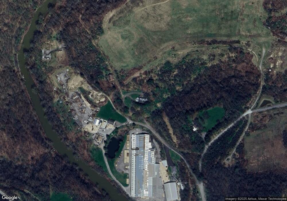
Map
Nearby Homes
- 331 4th St
- 142 Community Park Rd
- 542 Franklin St
- 321 2nd St
- 218 Prairie Ct
- 110 RR Kiski Camp Dr
- 586 Sterling Dr
- 129 Ridgecrest Dr
- 1132 Sandy Ridge Dr
- 1261 Sandy Ridge Dr
- Lot #2 Woodhaven Dr
- Lot #1 Woodhaven Dr
- 1281 Sandy Ridge Dr
- 1254 Sandy Ridge Dr
- 153 Beale Rd
- 1967 State Route 356
- 221 Summit Dr
- 117 Altermoor Dr
- 111 Helin Dr
- Lot 2R Parker Rd
Your Personal Tour Guide
Ask me questions while you tour the home.