455 Mine Brook Rd Bernardsville, NJ 07924
Estimated Value: $1,338,579 - $1,837,000
--
Bed
--
Bath
4,090
Sq Ft
$380/Sq Ft
Est. Value
About This Home
This home is located at 455 Mine Brook Rd, Bernardsville, NJ 07924 and is currently estimated at $1,553,645, approximately $379 per square foot. 455 Mine Brook Rd is a home located in Somerset County with nearby schools including Bernardsville Middle School, Bernards High School, and Far Hills Country Day School.
Ownership History
Date
Name
Owned For
Owner Type
Purchase Details
Closed on
Oct 3, 2005
Sold by
Santore Tokash Llc
Bought by
Gruskin Kenneth A and Gruskin Susan Risa
Current Estimated Value
Home Financials for this Owner
Home Financials are based on the most recent Mortgage that was taken out on this home.
Original Mortgage
$520,000
Outstanding Balance
$278,679
Interest Rate
5.78%
Estimated Equity
$1,274,966
Purchase Details
Closed on
Jan 16, 2004
Sold by
Schwartz Dana
Bought by
Santore Tokash Llc
Create a Home Valuation Report for This Property
The Home Valuation Report is an in-depth analysis detailing your home's value as well as a comparison with similar homes in the area
Home Values in the Area
Average Home Value in this Area
Purchase History
| Date | Buyer | Sale Price | Title Company |
|---|---|---|---|
| Gruskin Kenneth A | $1,399,000 | -- | |
| Santore Tokash Llc | $250,000 | -- |
Source: Public Records
Mortgage History
| Date | Status | Borrower | Loan Amount |
|---|---|---|---|
| Open | Gruskin Kenneth A | $520,000 |
Source: Public Records
Tax History Compared to Growth
Tax History
| Year | Tax Paid | Tax Assessment Tax Assessment Total Assessment is a certain percentage of the fair market value that is determined by local assessors to be the total taxable value of land and additions on the property. | Land | Improvement |
|---|---|---|---|---|
| 2025 | $19,523 | $1,074,500 | $160,900 | $913,600 |
| 2024 | $19,523 | $998,600 | $147,600 | $851,000 |
| 2023 | $19,094 | $950,400 | $143,200 | $807,200 |
| 2022 | $18,969 | $922,600 | $140,400 | $782,200 |
| 2021 | $18,699 | $891,300 | $140,400 | $750,900 |
| 2020 | $18,187 | $864,400 | $149,400 | $715,000 |
| 2019 | $17,910 | $878,800 | $149,400 | $729,400 |
| 2018 | $17,039 | $855,800 | $131,400 | $724,400 |
| 2017 | $17,021 | $883,300 | $131,400 | $751,900 |
| 2016 | $16,511 | $880,100 | $131,400 | $748,700 |
| 2015 | $16,221 | $883,000 | $146,000 | $737,000 |
| 2014 | $15,823 | $865,100 | $146,000 | $719,100 |
Source: Public Records
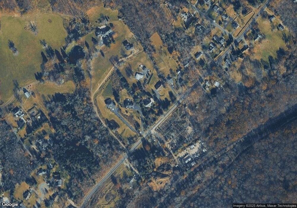
Map
Nearby Homes
- 453 Mine Brook Rd
- 496 Mine Brook Rd
- 23 Charlotte Hill Dr
- 570 Mine Brook Rd
- 71 Mount Harmony Rd
- 101 Rippling Brook Way
- 136 2 Mount Harmony Rd
- 211 Private Rd
- 19 Emily Rd
- 51 Boulderwood Dr
- 92 Whitenack Rd
- 20 Whitaker Ln
- 50 Hidden Valley Rd
- 365 Mine Brook Rd
- 149 Overleigh Rd
- 0 Private Rd Unit 3966400
- 12 Wayne Terrace
- 10 Nancy Ln
- 16 Dayton Crescent
- 3 Rose Hill
- 467 Mine Brook Rd
- 451 Mine Brook Rd
- 445 Mine Brook Rd
- 469 Mine Brook Rd
- 450 Mine Brook Rd
- 441 Mine Brook Rd
- 435 Mine Brook Rd
- 429 Mine Brook Rd
- 440 Mine Brook Rd
- 470 Mine Brook Rd
- 477 Mine Brook Rd
- 423 Mine Brook Rd
- 457 Mine Brook Rd
- 432 Mine Brook Rd
- 19 Lindabury Ave
- 11 Lindabury Ave
- 3 Lindabury Ave
- 29 Lindabury Ave
- 477-1 Mine Brook Rd
- 37 Lindabury Ave