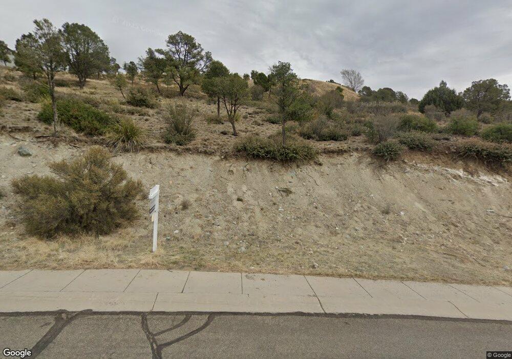
455 Newport Dr Unit 90 Prescott, AZ 86303
Estimated Value: $25,000 - $190,000
--
Bed
--
Bath
--
Sq Ft
0.41
Acres
About This Home
This home is located at 455 Newport Dr Unit 90, Prescott, AZ 86303 and is currently estimated at $80,035. 455 Newport Dr Unit 90 is a home located in Yavapai County with nearby schools including Taylor Hicks School, Granite Mountain Middle School, and Prescott Mile High Middle School.
Ownership History
Date
Name
Owned For
Owner Type
Purchase Details
Closed on
Sep 22, 2005
Sold by
Tri Sac Llc
Bought by
Land Joseph C
Current Estimated Value
Purchase Details
Closed on
Aug 11, 2005
Sold by
Riff Mark A and Riff Karen M
Bought by
Tri Sac Llc
Purchase Details
Closed on
Oct 2, 2003
Sold by
Tri Sac Llc
Bought by
Riff Mark A and Riff Karen M
Home Financials for this Owner
Home Financials are based on the most recent Mortgage that was taken out on this home.
Original Mortgage
$58,900
Interest Rate
6.75%
Mortgage Type
Purchase Money Mortgage
Create a Home Valuation Report for This Property
The Home Valuation Report is an in-depth analysis detailing your home's value as well as a comparison with similar homes in the area
Home Values in the Area
Average Home Value in this Area
Purchase History
| Date | Buyer | Sale Price | Title Company |
|---|---|---|---|
| Land Joseph C | $95,000 | Chicago Title Ins Co | |
| Tri Sac Llc | $139,460 | First American Title | |
| Riff Mark A | $62,000 | First American Title Ins Co |
Source: Public Records
Mortgage History
| Date | Status | Borrower | Loan Amount |
|---|---|---|---|
| Previous Owner | Riff Mark A | $58,900 |
Source: Public Records
Tax History Compared to Growth
Tax History
| Year | Tax Paid | Tax Assessment Tax Assessment Total Assessment is a certain percentage of the fair market value that is determined by local assessors to be the total taxable value of land and additions on the property. | Land | Improvement |
|---|---|---|---|---|
| 2026 | $336 | -- | -- | -- |
| 2024 | $436 | -- | -- | -- |
| 2023 | $436 | $7,813 | $7,813 | $0 |
| 2022 | $427 | $7,279 | $7,279 | $0 |
| 2021 | $445 | $6,235 | $6,235 | $0 |
| 2020 | $494 | $0 | $0 | $0 |
| 2019 | $518 | $0 | $0 | $0 |
| 2018 | $499 | $0 | $0 | $0 |
| 2017 | $476 | $0 | $0 | $0 |
| 2016 | $578 | $0 | $0 | $0 |
| 2015 | -- | $0 | $0 | $0 |
| 2014 | -- | $0 | $0 | $0 |
Source: Public Records
Map
Nearby Homes
- 395 Newport Dr
- 386 Newport Dr
- 1284 McDonald Dr
- 1300 Newport Ridge Dr Unit 116
- 1300 Newport Ridge Dr
- 1228 McDonald Dr Unit 1/2
- 1228 McDonald Dr Unit 52
- 1228 McDonald Dr
- 1203 McDonald Dr
- 300 Newport Dr
- 1232 Jordin Dr
- 450 Broadview Dr
- 277 Jacob Ln
- 631 S Canyon Dr E
- 500 Broadview Dr
- 215 Rhonda Dr
- 630 S Hill Dr
- 267 Looking Glass Dr
- 263 Looking Glass Dr
- 262 Looking Glass Dr
- 455 Newport Dr
- 1371 Newport Ridge Dr Unit 105
- 1371 Newport Ridge Dr
- 1397 Newport Ridge Dr
- 1397 Newport Ridge Dr Unit 107
- 433 Newport Dr
- 460 Newport Dr
- 1359 Newport Ridge Dr
- 1359 Newport Ridge Dr Unit 104
- 432 Newport Dr
- 432 Newport Dr Unit 86
- 000 Bradshaw Dr
- 1384 Newport Ridge Dr
- 444 Newport Dr
- 1347 Newport Ridge Dr
- 1396 Newport Ridge Dr
- 474 Newport Dr
- 474 Newport Dr Unit None
- 1372 Newport Ridge Dr
- 417 Newport Dr Unit 94