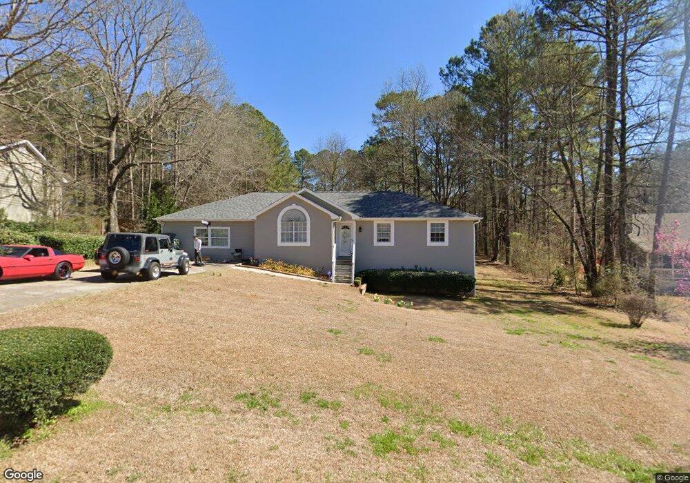
455 Robin Rd Covington, GA 30016
Estimated Value: $262,000 - $304,000
4
Beds
2
Baths
1,916
Sq Ft
$148/Sq Ft
Est. Value
About This Home
This home is located at 455 Robin Rd, Covington, GA 30016 and is currently estimated at $284,005, approximately $148 per square foot. 455 Robin Rd is a home located in Newton County with nearby schools including Oak Hill Elementary School, Veterans Memorial Middle School, and Alcovy High School.
Ownership History
Date
Name
Owned For
Owner Type
Purchase Details
Closed on
May 28, 2021
Sold by
Bishop Edward Charles
Bought by
Perez Elsie
Current Estimated Value
Purchase Details
Closed on
Sep 18, 2017
Sold by
Stonstrom Kenneth B
Bought by
Bishop Edward Charles
Home Financials for this Owner
Home Financials are based on the most recent Mortgage that was taken out on this home.
Original Mortgage
$132,554
Interest Rate
4.87%
Mortgage Type
FHA
Purchase Details
Closed on
Aug 23, 2002
Sold by
Stonstrom Kenneth B
Bought by
Stonstrom Kenneth B and Stonstrom Peggy A
Home Financials for this Owner
Home Financials are based on the most recent Mortgage that was taken out on this home.
Original Mortgage
$78,297
Interest Rate
6.49%
Mortgage Type
FHA
Purchase Details
Closed on
Mar 18, 1994
Sold by
J H Ewing Homes Inc
Bought by
Stonstrom Kenneth
Home Financials for this Owner
Home Financials are based on the most recent Mortgage that was taken out on this home.
Original Mortgage
$75,756
Interest Rate
7.2%
Mortgage Type
FHA
Create a Home Valuation Report for This Property
The Home Valuation Report is an in-depth analysis detailing your home's value as well as a comparison with similar homes in the area
Home Values in the Area
Average Home Value in this Area
Purchase History
| Date | Buyer | Sale Price | Title Company |
|---|---|---|---|
| Perez Elsie | $195,000 | -- | |
| Bishop Edward Charles | $135,000 | -- | |
| Stonstrom Kenneth B | -- | -- | |
| Stonstrom Kenneth | $76,900 | -- |
Source: Public Records
Mortgage History
| Date | Status | Borrower | Loan Amount |
|---|---|---|---|
| Previous Owner | Bishop Edward Charles | $132,554 | |
| Previous Owner | Stonstrom Kenneth B | $78,297 | |
| Previous Owner | Stonstrom Kenneth | $75,756 |
Source: Public Records
Tax History
| Year | Tax Paid | Tax Assessment Tax Assessment Total Assessment is a certain percentage of the fair market value that is determined by local assessors to be the total taxable value of land and additions on the property. | Land | Improvement |
|---|---|---|---|---|
| 2025 | $2,882 | $122,880 | $16,800 | $106,080 |
| 2024 | $2,770 | $113,200 | $16,800 | $96,400 |
| 2023 | $2,882 | $110,080 | $7,600 | $102,480 |
| 2022 | $2,116 | $76,360 | $7,600 | $68,760 |
| 2021 | $1,809 | $63,520 | $7,600 | $55,920 |
| 2020 | $1,764 | $56,400 | $7,600 | $48,800 |
| 2019 | $1,626 | $51,560 | $7,600 | $43,960 |
| 2018 | $1,555 | $49,200 | $7,600 | $41,600 |
| 2017 | $1,168 | $37,920 | $7,600 | $30,320 |
| 2016 | $1,006 | $33,200 | $4,000 | $29,200 |
| 2015 | $892 | $29,880 | $2,000 | $27,880 |
| 2014 | $891 | $29,880 | $0 | $0 |
Source: Public Records
Map
Nearby Homes
- 130 Goldfinch Dr
- 125 Goldfinch Dr
- 2215 Oak Hill Rd
- 5240 Highway 20 S
- 1925 Oak Hill Rd
- 5737 Highway 20 S
- 50 Butler Bridge Cir
- 35 Fourwood Dr
- 110 Chapel Heights Way
- 6023 Highway 20 S
- 20 W Forest Dr
- 2020 Bailey Creek Rd
- 120 Wintergreen Ct
- 170 Gibson Way
- 14908 Brown Bridge Rd
- 30 Creekside Ct
- 0 Butler Bridge Rd Unit 19792691
- 55 the Falls Blvd
- 339 Buckingham Dr SW
- 255 Hugh Dr
- 445 Robin Rd
- 465 Robin Rd Unit 1
- 435 Robin Rd Unit 1
- 450 Robin Rd
- 10 Cardinal Ct
- 475 Robin Rd Unit 1
- 440 Robin Rd Unit 1
- 440 Robin Rd
- 425 Robin Rd
- 20 Cardinal Ct
- 495 Robin Rd Unit 1
- 15 Cardinal Ct
- 400 Robin Rd Unit 400
- 400 Robin Rd
- 375 Robin Rd
- 30 Cardinal Ct Unit 1
- 35 Cardinal Ct Unit 1
- 35 Cardinal Ct
- 35 Cardinal Ct Unit 24
- 40 Cardinal Ct Unit 1
Your Personal Tour Guide
Ask me questions while you tour the home.