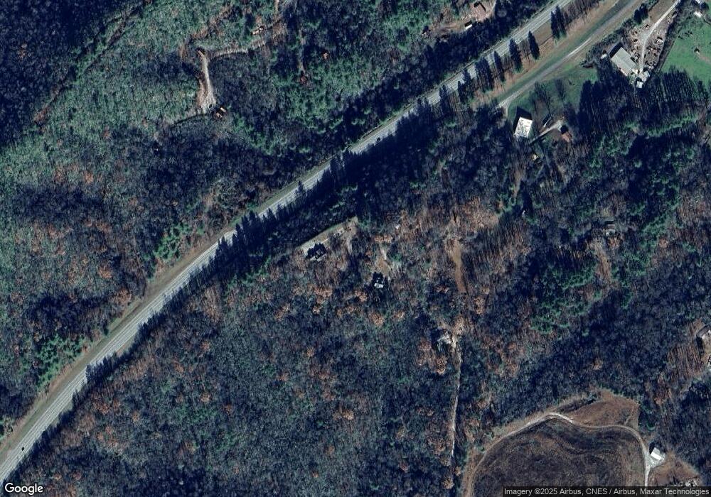
455 Weaver Creek Rd Unit 2 Brevard, NC 28712
Estimated Value: $892,939 - $1,080,000
3
Beds
4
Baths
3,397
Sq Ft
$288/Sq Ft
Est. Value
About This Home
This home is located at 455 Weaver Creek Rd Unit 2, Brevard, NC 28712 and is currently estimated at $977,985, approximately $287 per square foot. 455 Weaver Creek Rd Unit 2 is a home located in Transylvania County.
Ownership History
Date
Name
Owned For
Owner Type
Purchase Details
Closed on
Mar 18, 2020
Sold by
Oaks Roger Dale and Oaks Jeanne Lacy
Bought by
Hansley Timothy C and Hansley Katie M
Current Estimated Value
Purchase Details
Closed on
Jan 30, 2013
Sold by
Galloway R Matthew R and Galloway Lisa D
Bought by
Oaks Roger Dale and Oaks Jeanne Lacy
Home Financials for this Owner
Home Financials are based on the most recent Mortgage that was taken out on this home.
Original Mortgage
$265,109
Interest Rate
3.62%
Mortgage Type
FHA
Create a Home Valuation Report for This Property
The Home Valuation Report is an in-depth analysis detailing your home's value as well as a comparison with similar homes in the area
Home Values in the Area
Average Home Value in this Area
Purchase History
| Date | Buyer | Sale Price | Title Company |
|---|---|---|---|
| Hansley Timothy C | $530,000 | None Available | |
| Oaks Roger Dale | $270,000 | None Available |
Source: Public Records
Mortgage History
| Date | Status | Borrower | Loan Amount |
|---|---|---|---|
| Previous Owner | Oaks Roger Dale | $265,109 |
Source: Public Records
Tax History Compared to Growth
Tax History
| Year | Tax Paid | Tax Assessment Tax Assessment Total Assessment is a certain percentage of the fair market value that is determined by local assessors to be the total taxable value of land and additions on the property. | Land | Improvement |
|---|---|---|---|---|
| 2025 | $4,728 | $983,990 | $30,000 | $953,990 |
| 2024 | $3,504 | $532,270 | $30,000 | $502,270 |
| 2023 | $3,504 | $532,270 | $30,000 | $502,270 |
| 2022 | $3,504 | $532,270 | $30,000 | $502,270 |
| 2021 | $3,477 | $532,270 | $30,000 | $502,270 |
| 2020 | $3,753 | $545,500 | $0 | $0 |
| 2019 | $1,901 | $275,140 | $0 | $0 |
| 2018 | $1,739 | $275,140 | $0 | $0 |
| 2017 | $1,725 | $275,140 | $0 | $0 |
| 2016 | $1,706 | $275,140 | $0 | $0 |
| 2015 | $1,764 | $361,810 | $45,000 | $316,810 |
| 2014 | $1,764 | $361,810 | $45,000 | $316,810 |
Source: Public Records
Map
Nearby Homes
- 0000 Israel Rd
- 52 Rosman Trail
- 0 Pickens Hwy Unit CAR4204905
- 29 Stonehollow Ln
- L2 Pickens Hwy Unit 2
- 4277 Pickens Hwy
- TBD Rosman Hwy
- 122 and 124 Avian Ct
- 00 Snipes Rd
- 220 Circle Pines Dr
- 00 Diamond Creek Rd
- TBD On Sr 1309 Rd
- TBD Girl Scout Camp Rd
- 545 & 585 Ross Rd
- 000 Toxaway Rd
- 96 Habitat Way
- 0 Frozen Creek Rd Unit CAR4112325
- 262 Rooster Cove
- 71 Blue Grass Cir
- 779 Thissa Way
- 455 Weaver Creek Rd
- 401 Weaver Creek Rd
- 411 Weaver Creek Rd
- 655 Old Cartwright Place
- 0 Highway Ave Unit 1 485614
- 79 Weaver Creek Rd
- 425 Old Cartwright Place
- 132 Cassell Rd
- 911 Island Ford Rd
- 43 Wet Hen Ln
- 758 Old Rosman Hwy
- 74 Cassell Rd
- 644 Israel Rd
- 130 Israel Rd
- 864 Old Rosman Hwy
- TBD Israel Rd
- 99999 Israel Rd
- 1 Israel Rd
- 01 Israel Rd
- 00 Israel Rd
