Estimated Value: $242,000 - $270,155
3
Beds
2
Baths
1,408
Sq Ft
$182/Sq Ft
Est. Value
About This Home
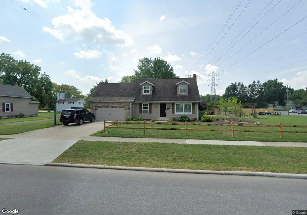
This home is located at 455 West St, Berea, OH 44017 and is currently estimated at $256,039, approximately $181 per square foot. 455 West St is a home located in Cuyahoga County with nearby schools including Grindstone Elementary School, Berea-Midpark Middle School, and Berea-Midpark High School.
Ownership History
Date
Name
Owned For
Owner Type
Purchase Details
Closed on
Aug 12, 2005
Sold by
Johnston Michael F and Johnston Barbara
Bought by
Paytosh Dawn M
Current Estimated Value
Home Financials for this Owner
Home Financials are based on the most recent Mortgage that was taken out on this home.
Original Mortgage
$34,400
Interest Rate
5.8%
Mortgage Type
Stand Alone Second
Purchase Details
Closed on
Jan 1, 1990
Bought by
Johnston Michael and Johnston B
Create a Home Valuation Report for This Property
The Home Valuation Report is an in-depth analysis detailing your home's value as well as a comparison with similar homes in the area
Home Values in the Area
Average Home Value in this Area
Purchase History
| Date | Buyer | Sale Price | Title Company |
|---|---|---|---|
| Paytosh Dawn M | $172,000 | Rockside Title Agency | |
| Johnston Michael | -- | -- |
Source: Public Records
Mortgage History
| Date | Status | Borrower | Loan Amount |
|---|---|---|---|
| Closed | Paytosh Dawn M | $34,400 | |
| Open | Paytosh Dawn M | $137,600 |
Source: Public Records
Tax History
| Year | Tax Paid | Tax Assessment Tax Assessment Total Assessment is a certain percentage of the fair market value that is determined by local assessors to be the total taxable value of land and additions on the property. | Land | Improvement |
|---|---|---|---|---|
| 2025 | $4,750 | $82,005 | $21,385 | $60,620 |
| 2024 | $4,751 | $82,005 | $21,385 | $60,620 |
| 2023 | $4,559 | $66,010 | $18,060 | $47,950 |
| 2022 | $4,530 | $66,010 | $18,060 | $47,950 |
| 2021 | $4,492 | $66,010 | $18,060 | $47,950 |
| 2020 | $4,289 | $55,930 | $15,300 | $40,640 |
| 2019 | $4,098 | $156,800 | $43,700 | $113,100 |
| 2018 | $2,034 | $54,880 | $15,300 | $39,590 |
| 2017 | $3,649 | $45,610 | $14,560 | $31,050 |
| 2016 | $4,671 | $45,610 | $14,560 | $31,050 |
| 2015 | $3,423 | $45,610 | $14,560 | $31,050 |
| 2014 | $3,423 | $45,610 | $14,560 | $31,050 |
Source: Public Records
Map
Nearby Homes
- 347 Beeler Dr
- 550 Race St
- 300 West St
- 160 Marian Ln Unit 6A
- 146 Marian Ln
- 8873 Ashlyn Ct Unit 13A
- 23002 Chandlers Ln
- 23002 Chandlers Ln Unit 223
- 23002 Chandlers Ln Unit 221
- 516 Fair St
- 23155 Wainwright Terrace
- 23265 Wainwright Terrace
- 487 Bridle Ln
- 143 Baker St
- 23004 Chandlers Ln Unit 4-344
- 211 W Bridge St
- 132 Stonefield Dr
- 147 Stone Ridge Way
- 0 Sprague Rd Unit 5192975
- 24690 Thicket Ln Unit M32
Your Personal Tour Guide
Ask me questions while you tour the home.