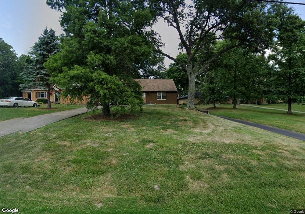
4550 Blue Rock Rd Cincinnati, OH 45247
Estimated Value: $271,817 - $329,000
2
Beds
2
Baths
1,675
Sq Ft
$177/Sq Ft
Est. Value
About This Home
This home is located at 4550 Blue Rock Rd, Cincinnati, OH 45247 and is currently estimated at $296,704, approximately $177 per square foot. 4550 Blue Rock Rd is a home located in Hamilton County with nearby schools including Colerain Elementary School, Colerain Middle School, and Colerain High School.
Ownership History
Date
Name
Owned For
Owner Type
Purchase Details
Closed on
Dec 14, 2000
Sold by
Wiesman Sharon C
Bought by
Wiesman Jeffrey M
Current Estimated Value
Home Financials for this Owner
Home Financials are based on the most recent Mortgage that was taken out on this home.
Original Mortgage
$94,000
Interest Rate
7.8%
Create a Home Valuation Report for This Property
The Home Valuation Report is an in-depth analysis detailing your home's value as well as a comparison with similar homes in the area
Home Values in the Area
Average Home Value in this Area
Purchase History
| Date | Buyer | Sale Price | Title Company |
|---|---|---|---|
| Wiesman Jeffrey M | -- | -- |
Source: Public Records
Mortgage History
| Date | Status | Borrower | Loan Amount |
|---|---|---|---|
| Closed | Wiesman Jeffrey M | $94,000 |
Source: Public Records
Tax History
| Year | Tax Paid | Tax Assessment Tax Assessment Total Assessment is a certain percentage of the fair market value that is determined by local assessors to be the total taxable value of land and additions on the property. | Land | Improvement |
|---|---|---|---|---|
| 2025 | $3,791 | $65,745 | $17,112 | $48,633 |
| 2023 | $3,536 | $65,745 | $17,112 | $48,633 |
| 2022 | $3,444 | $52,242 | $16,153 | $36,089 |
| 2021 | $3,415 | $52,242 | $16,153 | $36,089 |
| 2020 | $3,451 | $52,242 | $16,153 | $36,089 |
| 2019 | $3,133 | $44,272 | $13,689 | $30,583 |
| 2018 | $2,811 | $44,272 | $13,689 | $30,583 |
| 2017 | $2,663 | $44,272 | $13,689 | $30,583 |
| 2016 | $2,535 | $41,581 | $13,885 | $27,696 |
| 2015 | $2,560 | $41,581 | $13,885 | $27,696 |
| 2014 | $2,564 | $41,581 | $13,885 | $27,696 |
| 2013 | $2,568 | $43,768 | $14,616 | $29,152 |
Source: Public Records
Map
Nearby Homes
- 3950 Olde Savannah Dr
- 3970 Olde Savannah Dr
- 8530 Wuest Rd
- 3937 Olde Savannah Dr Unit 3937
- 3701 W Galbraith Rd
- 8877 Wuest Rd
- 8261 Cheviot Rd
- 3691 W Galbraith Rd
- 3693 W Galbraith Rd
- 3798 Philnoll Dr
- 5613 Old Blue Rock Rd
- 4021 Hanley Rd
- 8747 Cheviot Rd
- 5667 Old Blue Rock Rd
- 3727 Hanley Rd
- 7630 Cheviot Rd
- 9136 Yellowwood Dr
- 6707 Weiss Rd
- 9111 Cobblechase Ct
- 5658 Springdale Rd
- 4564 Blue Rock Rd
- 4534 Blue Rock Rd
- 4594 Blue Rock Rd
- 4535 Blue Rock Rd
- 4510 Blue Rock Rd
- 4569 Blue Rock Rd
- 4595 Blue Rock Rd
- 4500 Blue Rock Rd
- 4475 Blue Rock Rd
- 8296 Livingston Rd
- 4470 Blue Rock Rd
- 8349 Whispering Valley Dr
- 8280 Livingston Rd
- 4450 Blue Rock Rd
- 4668 Blue Rock Rd
- 8337 Whispering Valley Dr
- 8357 Livingston Rd
- 8338 Whispering Valley Dr
- 8371 Livingston Rd
- 8385 Livingston Rd
Your Personal Tour Guide
Ask me questions while you tour the home.