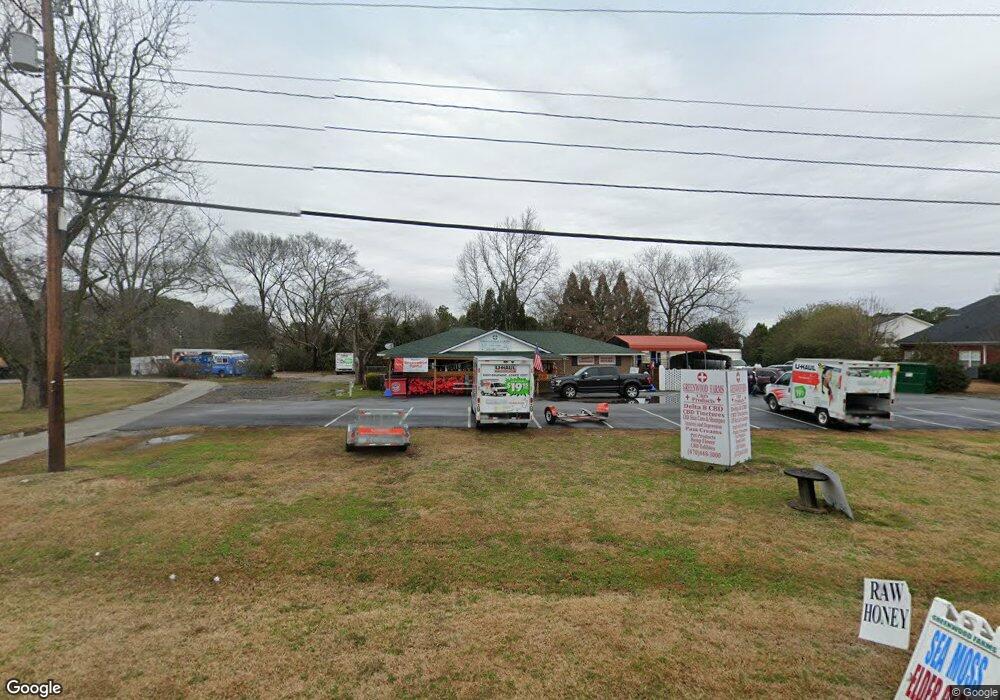
4550 Lawrenceville Rd Unit C Loganville, GA 30052
Estimated Value: $397,000 - $955,867
--
Bed
--
Bath
1,602
Sq Ft
$499/Sq Ft
Est. Value
About This Home
This home is located at 4550 Lawrenceville Rd Unit C, Loganville, GA 30052 and is currently estimated at $799,967, approximately $499 per square foot. 4550 Lawrenceville Rd Unit C is a home located in Walton County with nearby schools including Bay Creek Elementary School, Loganville Middle School, and Loganville High School.
Ownership History
Date
Name
Owned For
Owner Type
Purchase Details
Closed on
May 8, 2018
Sold by
Putman Denise
Bought by
Safeco Tree Svc Inc
Current Estimated Value
Home Financials for this Owner
Home Financials are based on the most recent Mortgage that was taken out on this home.
Original Mortgage
$214,400
Outstanding Balance
$156,498
Interest Rate
4.4%
Mortgage Type
New Conventional
Estimated Equity
$643,469
Purchase Details
Closed on
Dec 16, 2013
Sold by
Camp Betty B
Bought by
Putman Denise
Purchase Details
Closed on
Apr 15, 1988
Bought by
Camp Betty B
Create a Home Valuation Report for This Property
The Home Valuation Report is an in-depth analysis detailing your home's value as well as a comparison with similar homes in the area
Home Values in the Area
Average Home Value in this Area
Purchase History
| Date | Buyer | Sale Price | Title Company |
|---|---|---|---|
| Safeco Tree Svc Inc | $280,000 | -- | |
| Putman Denise | -- | -- | |
| Camp Betty B | $175,000 | -- |
Source: Public Records
Mortgage History
| Date | Status | Borrower | Loan Amount |
|---|---|---|---|
| Open | Safeco Tree Svc Inc | $214,400 |
Source: Public Records
Tax History Compared to Growth
Tax History
| Year | Tax Paid | Tax Assessment Tax Assessment Total Assessment is a certain percentage of the fair market value that is determined by local assessors to be the total taxable value of land and additions on the property. | Land | Improvement |
|---|---|---|---|---|
| 2024 | $3,320 | $89,120 | $42,040 | $47,080 |
| 2023 | $3,381 | $87,640 | $42,040 | $45,600 |
| 2022 | $2,569 | $84,840 | $42,040 | $42,800 |
| 2021 | $2,415 | $77,280 | $42,040 | $35,240 |
| 2020 | $2,141 | $66,760 | $42,040 | $24,720 |
| 2019 | $2,090 | $57,720 | $33,600 | $24,120 |
| 2018 | $1,853 | $57,720 | $33,600 | $24,120 |
| 2017 | $2,543 | $57,720 | $33,600 | $24,120 |
| 2016 | $1,806 | $54,040 | $33,600 | $20,440 |
| 2015 | $1,829 | $54,040 | $33,600 | $20,440 |
| 2014 | $1,931 | $55,360 | $0 | $0 |
Source: Public Records
Map
Nearby Homes
- 1920 Pearson St
- 1840 Pearson St
- 1800 Pearson St
- 6300 Highway 81
- 311 Bay Creek Rd
- 284 Covington St
- 507 Mockingbird Ln
- 1197 Granite Ln
- The Woodmont Plan at Fuller Station
- The Pinehurst Plan at Fuller Station
- The Sonoma Plan at Fuller Station
- 417 Mockingbird Dr
- 229 Covington St
- 1168 Granite Ln
- 638 Granite Ln
- 903 Milton Cir
- 1216 Saint James Place
- 2205 Baker Carter Dr
- 7768 Hampton Place
- 7766 Hampton Place
- 4603 Lawrenceville Rd
- 7762 Hampton Place Unit B
- 4540 Lawrenceville Rd
- 7748 Hampton Place
- 7748 Hampton Place Unit 3
- 7748 Hampton Place Unit 3B
- 0 Hampton Place Unit 3241535
- 0 Hampton Place Unit 7061114
- 0 Hampton Place Unit 7098565
- 0 Hampton Place Unit 7145671
- 7742 Hampton Place Unit C
- 7742 Hampton Place
- 7744 Hampton Place Unit D
- 7704 Hampton Place Unit B
- 7704 Hampton Place
- 4569 Lawrenceville Rd
- 0 Highway 81 Unit 8302652
- 0 Highway 81 Unit 8287509