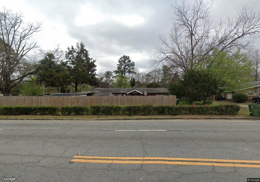
4552 Forrest Rd Columbus, GA 31907
East Columbus NeighborhoodEstimated Value: $101,000 - $123,000
3
Beds
2
Baths
1,225
Sq Ft
$93/Sq Ft
Est. Value
About This Home
This home is located at 4552 Forrest Rd, Columbus, GA 31907 and is currently estimated at $113,760, approximately $92 per square foot. 4552 Forrest Rd is a home located in Muscogee County with nearby schools including Davis Elementary School, Fort Middle School, and Hardaway High School.
Ownership History
Date
Name
Owned For
Owner Type
Purchase Details
Closed on
Aug 30, 2022
Sold by
Steven Dasinger Robert
Bought by
Fassey Linda Maye
Current Estimated Value
Purchase Details
Closed on
Nov 18, 2013
Sold by
Dasinger Robert Steven
Bought by
Dasinger Robert Steven and Massey Linda Faye
Create a Home Valuation Report for This Property
The Home Valuation Report is an in-depth analysis detailing your home's value as well as a comparison with similar homes in the area
Home Values in the Area
Average Home Value in this Area
Purchase History
| Date | Buyer | Sale Price | Title Company |
|---|---|---|---|
| Fassey Linda Maye | -- | Hall Booth Smith Pc | |
| Dasinger Robert Steven | -- | -- |
Source: Public Records
Tax History
| Year | Tax Paid | Tax Assessment Tax Assessment Total Assessment is a certain percentage of the fair market value that is determined by local assessors to be the total taxable value of land and additions on the property. | Land | Improvement |
|---|---|---|---|---|
| 2025 | $663 | $32,948 | $9,268 | $23,680 |
| 2024 | $662 | $32,948 | $9,268 | $23,680 |
| 2023 | $25 | $32,948 | $9,268 | $23,680 |
| 2022 | $690 | $29,272 | $6,952 | $22,320 |
| 2021 | $684 | $27,108 | $6,952 | $20,156 |
| 2020 | $683 | $27,108 | $6,952 | $20,156 |
| 2019 | $687 | $27,108 | $6,952 | $20,156 |
| 2018 | $687 | $27,108 | $6,952 | $20,156 |
| 2017 | $695 | $27,108 | $6,952 | $20,156 |
| 2016 | $695 | $30,119 | $3,545 | $26,574 |
| 2015 | $695 | $30,119 | $3,545 | $26,574 |
| 2014 | $498 | $30,119 | $3,545 | $26,574 |
| 2013 | -- | $30,119 | $3,545 | $26,574 |
Source: Public Records
Map
Nearby Homes
- 4410 Forrest Rd
- 4402 Forrest Rd
- 4396 Forrest Rd
- 4390 Forrest Rd
- 4384 Forrest Rd
- 4470 Lapaloma Dr
- 2031 Wellborn Dr
- 911 Lamore St
- 4312 Old MacOn Rd Unit 2
- 4312 Old MacOn Rd Unit 56
- 4312 Old MacOn Rd Unit 54
- 4312 Old MacOn Rd Unit 45
- 2213 Welch Dr
- 4785 Gardiner Dr
- 5010 Kingston Dr
- 4250 Adams St
- 4222 Fort St
- 4444 Norcross Dr
- 4229 Barr St
- 2401 Skylake Dr
- 4542 Forrest Rd
- 4602 Forrest Rd
- 2605 Tupelo Dr
- 2190 Snellings Dr
- 2604 Tupelo Dr
- 2184 Snellings Dr
- 4518 Forrest Rd
- 4501 Forrest Rd
- 2173 Snellings Dr
- 4610 Forrest Rd
- 2178 Snellings Dr
- 4601 Forrest Rd
- 2613 Tupelo Dr
- 2616 Tupelo Dr
- 2172 Snellings Dr
- 4500 Forrest Rd
- 4506 Forrest Rd
- 2615 Natchez Dr
- 4618 Forrest Rd
- 2159 Snellings Dr
Your Personal Tour Guide
Ask me questions while you tour the home.