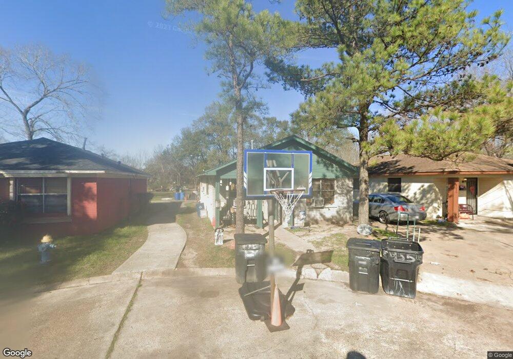
4554 Lelay Cir Houston, TX 77022
Independence Heights NeighborhoodEstimated Value: $154,277 - $217,000
2
Beds
1
Bath
872
Sq Ft
$202/Sq Ft
Est. Value
About This Home
This home is located at 4554 Lelay Cir, Houston, TX 77022 and is currently estimated at $176,069, approximately $201 per square foot. 4554 Lelay Cir is a home located in Harris County with nearby schools including Kennedy Elementary School, Williams Middle, and Booker T Washington Sr High.
Ownership History
Date
Name
Owned For
Owner Type
Purchase Details
Closed on
Jun 4, 2007
Sold by
Henderson Trina Denise
Bought by
Armstong Dovita Lafonda
Current Estimated Value
Purchase Details
Closed on
Dec 24, 1998
Sold by
Ronan Inc
Bought by
Henderson Trina
Home Financials for this Owner
Home Financials are based on the most recent Mortgage that was taken out on this home.
Original Mortgage
$41,325
Interest Rate
6.85%
Create a Home Valuation Report for This Property
The Home Valuation Report is an in-depth analysis detailing your home's value as well as a comparison with similar homes in the area
Home Values in the Area
Average Home Value in this Area
Purchase History
| Date | Buyer | Sale Price | Title Company |
|---|---|---|---|
| Armstong Dovita Lafonda | -- | None Available | |
| Henderson Trina | -- | American Title Co |
Source: Public Records
Mortgage History
| Date | Status | Borrower | Loan Amount |
|---|---|---|---|
| Previous Owner | Henderson Trina | $41,325 |
Source: Public Records
Tax History Compared to Growth
Tax History
| Year | Tax Paid | Tax Assessment Tax Assessment Total Assessment is a certain percentage of the fair market value that is determined by local assessors to be the total taxable value of land and additions on the property. | Land | Improvement |
|---|---|---|---|---|
| 2025 | $2,256 | $120,233 | $33,504 | $86,729 |
| 2024 | $2,256 | $122,160 | $33,504 | $88,656 |
| 2023 | $2,256 | $89,870 | $33,504 | $56,366 |
| 2022 | $1,979 | $89,870 | $33,504 | $56,366 |
| 2021 | $1,313 | $56,354 | $13,796 | $42,558 |
| 2020 | $1,365 | $56,354 | $13,796 | $42,558 |
| 2019 | $1,219 | $48,177 | $13,796 | $34,381 |
| 2018 | $1,075 | $42,475 | $13,796 | $28,679 |
| 2017 | $1,074 | $42,475 | $13,796 | $28,679 |
| 2016 | $721 | $28,499 | $4,927 | $23,572 |
| 2015 | $733 | $28,499 | $4,927 | $23,572 |
| 2014 | $733 | $28,499 | $4,927 | $23,572 |
Source: Public Records
Map
Nearby Homes
- 144 Knightsbridge Park Ln
- 147 Knightsbridge Park Ln
- 107 W Whitney St Unit E
- 107 W Whitney St Unit C
- 310 Walthall Dr
- 225 Noras Ln Unit E
- 4423 Yale St
- 115 E Thornton Rd
- 312 Walthall Dr
- 315 E Whitney St
- 8901 N Main St
- 4510 Old Yale St Unit A
- 0 Victoria Unit 54691087
- 4435 Whitney Oak Ln
- 303 Victoria Dr
- 4605 Yale St Unit C
- 4605 Yale St Unit A
- 4605 Yale St Unit J
- 320 Thornton Rd
- 330 Spell St
- 4550 Lelay Cir
- 4555 Lelay Cir
- 4546 Lelay Cir
- 4551 Lelay Cir
- 4547 Lelay Cir
- 4542 Lelay Cir
- 4550 Pecan Park Cir
- 4546 Pecan Park Cir
- 4538 Lelay Cir
- 4554 Pecan Park Cir
- 4539 Lelay Cir
- 4542 Pecan Park Cir
- 4534 Lelay Cir
- 4535 Lelay Cir
- 4538 Pecan Park Cir
- 4555 Pecan Park Cir
- 4530 Lelay Cir
- 4534 Pecan Park Cir
- 4531 Lelay Cir
- 4502 Trevor Park Ln