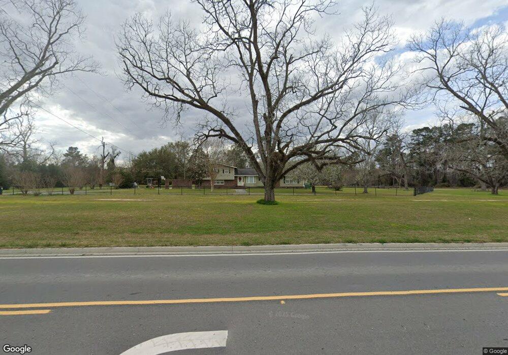
4555 Us Highway 41 N Hahira, GA 31632
Estimated Value: $369,000 - $649,000
4
Beds
4
Baths
2,436
Sq Ft
$218/Sq Ft
Est. Value
About This Home
This home is located at 4555 Us Highway 41 N, Hahira, GA 31632 and is currently estimated at $531,777, approximately $218 per square foot. 4555 Us Highway 41 N is a home located in Lowndes County with nearby schools including Westside Elementary School, Hahira Middle School, and Lowndes High School.
Ownership History
Date
Name
Owned For
Owner Type
Purchase Details
Closed on
Apr 14, 2021
Sold by
Sule Judit T
Bought by
Lane Courntey L
Current Estimated Value
Home Financials for this Owner
Home Financials are based on the most recent Mortgage that was taken out on this home.
Original Mortgage
$362,598
Outstanding Balance
$327,382
Interest Rate
3%
Mortgage Type
FHA
Estimated Equity
$204,395
Purchase Details
Closed on
Jun 11, 2019
Sold by
Sule Jonathan A
Bought by
Sule Judit T
Purchase Details
Closed on
Jan 15, 2019
Sold by
Tillman Lenora
Bought by
Sule Jonathan A
Purchase Details
Closed on
Aug 10, 1984
Bought by
Tillman Lenora
Create a Home Valuation Report for This Property
The Home Valuation Report is an in-depth analysis detailing your home's value as well as a comparison with similar homes in the area
Home Values in the Area
Average Home Value in this Area
Purchase History
| Date | Buyer | Sale Price | Title Company |
|---|---|---|---|
| Lane Courntey L | $399,000 | -- | |
| Sule Judit T | -- | -- | |
| Sule Jonathan A | $335,000 | -- | |
| Tillman Lenora | -- | -- |
Source: Public Records
Mortgage History
| Date | Status | Borrower | Loan Amount |
|---|---|---|---|
| Open | Lane Courntey L | $362,598 |
Source: Public Records
Tax History Compared to Growth
Tax History
| Year | Tax Paid | Tax Assessment Tax Assessment Total Assessment is a certain percentage of the fair market value that is determined by local assessors to be the total taxable value of land and additions on the property. | Land | Improvement |
|---|---|---|---|---|
| 2024 | $2,161 | $90,590 | $17,958 | $72,632 |
| 2023 | $2,161 | $71,476 | $16,784 | $54,692 |
| 2022 | $1,589 | $56,999 | $16,784 | $40,215 |
| 2021 | $1,664 | $57,151 | $16,936 | $40,215 |
| 2020 | $1,542 | $57,026 | $16,811 | $40,215 |
| 2019 | $1,558 | $57,026 | $16,811 | $40,215 |
| 2018 | $1,574 | $57,026 | $16,811 | $40,215 |
| 2017 | $1,320 | $57,026 | $16,811 | $40,215 |
| 2016 | $1,323 | $57,026 | $16,811 | $40,215 |
| 2015 | -- | $57,026 | $16,811 | $40,215 |
| 2014 | $1,278 | $56,615 | $16,400 | $40,215 |
Source: Public Records
Map
Nearby Homes
- 4501 Wellington Woods Dr
- 4504 Wellington Woods Dr
- 4801 Springbrook Dr
- 4227 Tillman Bluff Rd
- 4900 Tillman Crossing
- 4267 Whisperwood Cir
- 5084 Village Way
- 5041 Carlton Ridge Cir
- 5109 Village Way
- 4617 Blackwater Dr
- 1000 Ballantyne Ln
- 5202 Carlton Ridge Cir
- 5172 Carlton Ridge Cir
- 5211 Abbott Cir
- 4040 Ashbourne Dr
- The Ryleigh Plan at Ballantyne
- The Embry Plan at Ballantyne
- The Carol Plan at Ballantyne
- The Belfort Plan at Ballantyne
- 4469 Green Island Rd
- 4555 Old Us 41 N
- 4572 Old Us 41 N
- 4583 Old Us 41 N
- 4503 Wellington Woods Dr
- 4593 Old Us 41 N
- 4588 Old Us 41 N
- 0 Wellington Woods Dr Unit 3211471
- 4505 Wellington Woods Dr
- 4607 Old Us 41 N
- 4500 Wellington Woods Dr
- 4610 Old Us 41 N
- 4507 Wellington Woods Dr
- 4502 Wellington Woods Dr
- 4621 Old Us 41 N
- 4872 Tillman Crossing
- 4872 Tillman Crossing
- 4179 Tillman Bluff Rd
- 4509 Wellington Woods Dr
- 4416 Old Us 41 N
- 4627 Laurelwood S