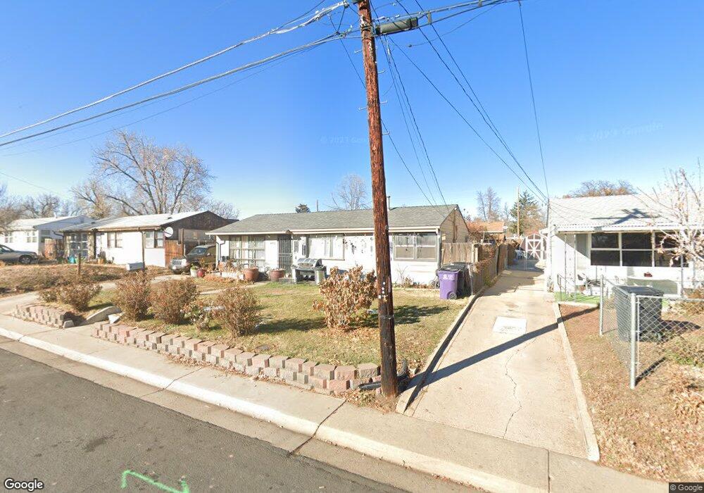
4555 W Mississippi Ave Denver, CO 80219
Westwood NeighborhoodEstimated Value: $381,000 - $433,000
3
Beds
1
Bath
924
Sq Ft
$442/Sq Ft
Est. Value
About This Home
This home is located at 4555 W Mississippi Ave, Denver, CO 80219 and is currently estimated at $408,353, approximately $441 per square foot. 4555 W Mississippi Ave is a home located in Denver County with nearby schools including Force Elementary School, Kepner Beacon Middle School, and John F Kennedy High School.
Ownership History
Date
Name
Owned For
Owner Type
Purchase Details
Closed on
Nov 26, 2003
Sold by
Barr Margaret N and Barr Jere W
Bought by
Vigil Raymundo M and Neuber Jennifer D
Current Estimated Value
Home Financials for this Owner
Home Financials are based on the most recent Mortgage that was taken out on this home.
Original Mortgage
$150,350
Outstanding Balance
$69,961
Interest Rate
5.94%
Mortgage Type
Unknown
Estimated Equity
$338,392
Create a Home Valuation Report for This Property
The Home Valuation Report is an in-depth analysis detailing your home's value as well as a comparison with similar homes in the area
Home Values in the Area
Average Home Value in this Area
Purchase History
| Date | Buyer | Sale Price | Title Company |
|---|---|---|---|
| Vigil Raymundo M | $155,000 | Chicago Title Co |
Source: Public Records
Mortgage History
| Date | Status | Borrower | Loan Amount |
|---|---|---|---|
| Open | Vigil Raymundo M | $150,350 |
Source: Public Records
Tax History Compared to Growth
Tax History
| Year | Tax Paid | Tax Assessment Tax Assessment Total Assessment is a certain percentage of the fair market value that is determined by local assessors to be the total taxable value of land and additions on the property. | Land | Improvement |
|---|---|---|---|---|
| 2024 | $1,997 | $25,220 | $5,270 | $19,950 |
| 2023 | $1,954 | $25,220 | $5,270 | $19,950 |
| 2022 | $1,740 | $21,880 | $8,820 | $13,060 |
| 2021 | $1,679 | $22,500 | $9,070 | $13,430 |
| 2020 | $1,562 | $21,050 | $5,730 | $15,320 |
| 2019 | $1,518 | $21,050 | $5,730 | $15,320 |
| 2018 | $1,280 | $16,550 | $4,810 | $11,740 |
| 2017 | $1,277 | $16,550 | $4,810 | $11,740 |
| 2016 | $940 | $11,530 | $4,521 | $7,009 |
| 2015 | $901 | $11,530 | $4,521 | $7,009 |
| 2014 | $634 | $7,630 | $2,659 | $4,971 |
Source: Public Records
Map
Nearby Homes
- 1135 S Vrain St
- 4445 W Tennessee Ave
- 971 S Wolff St
- 1110 S Quitman St
- 1050 S Quitman St
- 1124 S Perry St
- 960 S Perry St
- 1141 S Zenobia St
- 1057 S Osceola St
- 1200 S Patton Ct
- 1255 S Patton Ct
- 1361 S Perry St
- 3918 W Kentucky Ave
- 739 S Utica St
- 1455 S Tennyson St
- 1381 S Perry St
- 1470 S Winona Way
- 5110 W Ohio Ave
- 3947 W Ohio Ave Unit 17
- 671 S Stuart St
- 4535 W Mississippi Ave
- 4575 W Mississippi Ave
- 4525 W Mississippi Ave
- 4595 W Mississippi Ave
- 1100 S Vrain St
- 4546 W Mississippi Ave
- 4515 W Mississippi Ave
- 4548 W Tennessee Ave
- 4520 W Tennessee Ave
- 4550 W Tennessee Ave
- 4605 W Mississippi Ave
- 4510 W Tennessee Ave
- 1110 S Vrain St
- 1101 S Utica St
- 4488 W Tennessee Ave
- 1111 S Utica St
- 4505 W Mississippi Ave
- 1105 S Vrain St
- 4625 W Mississippi Ave
- 1120 S Vrain St